Heavy rain, maybe snow, in New York and New Jersey. Here's the forecast.
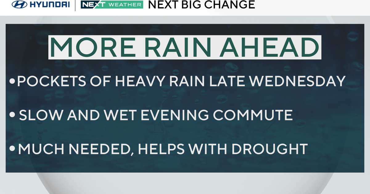
NEW YORK -- A new weather pattern is settling into the New York City area, bringing some much-needed rain and even some snow in parts of the Tri-State Area.
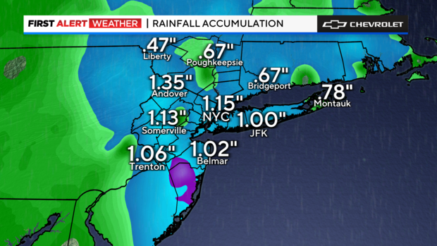
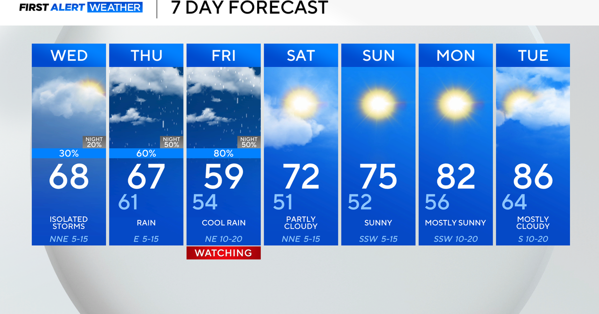
The CBS News New York First Alert Weather Team issued a Red Alert through Friday morning. Most the region got over an inch of rain Thursday, and some parts of the area could wake up to some snow on the ground Friday.
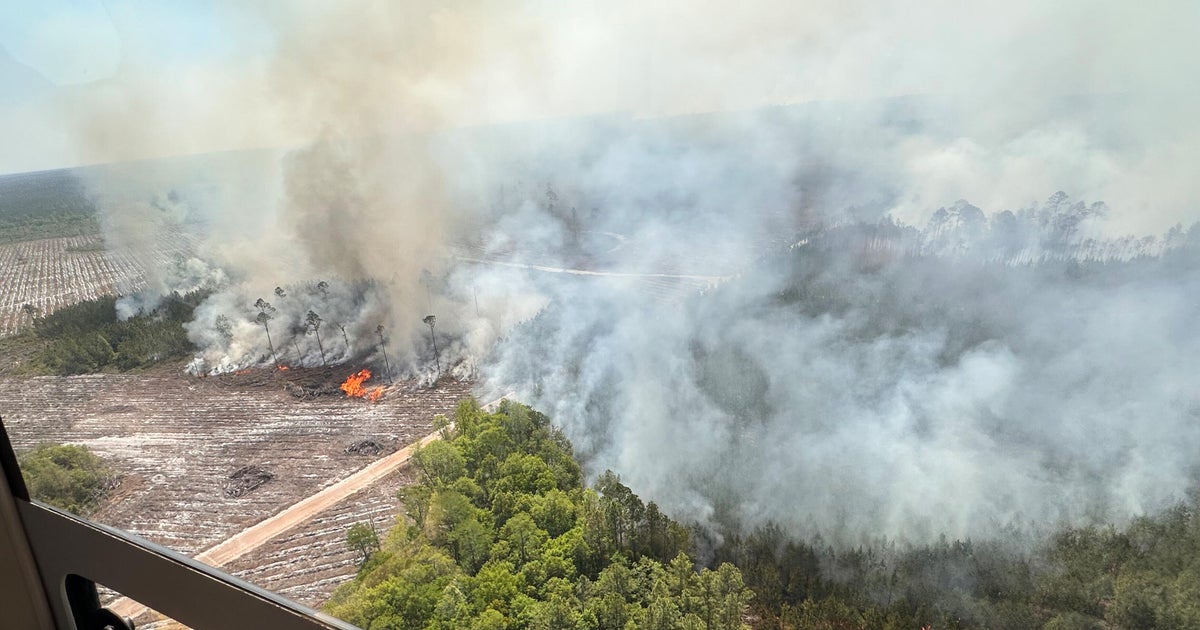
The historically dry weather across the Tri-State Area this fall has brought drought warnings to New York City, 10 New York counties and New Jersey.
This storm will help the ongoing drought situation immensely, and the early call is we could have more beneficial rain on the horizon next week.
Weather timeline for New York, New Jersey
Thursday night: Rain and snow continues to fall, with snow expanding closer to New York City. Temperatures will feel like the 20s and low 30s.
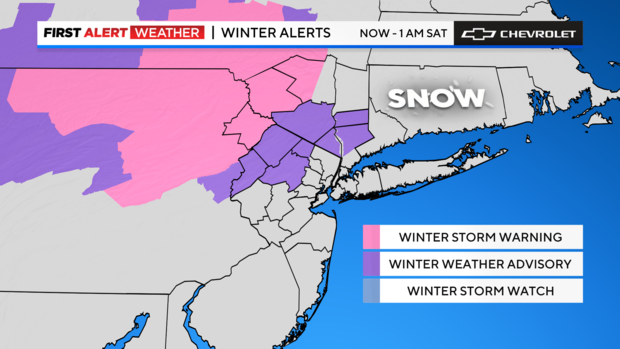
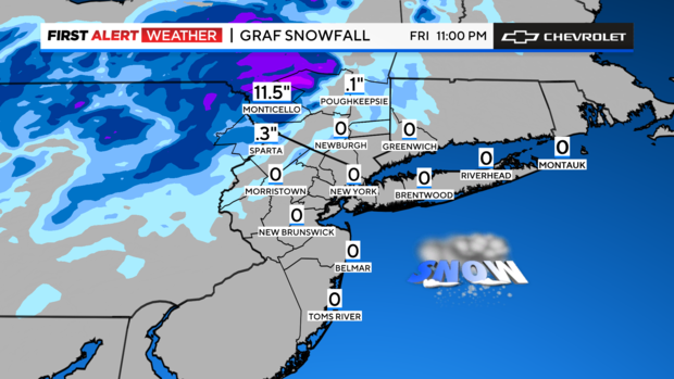
Friday: Wraparound rain and snow continue, with snow accumulation possible in parts of the area at elevations over 500 feet.
Friday night: Leftover rain continues with snow tapering off after 5 p.m. Winds will be gusting up to 30 mph.
How much rain and snow will fall in New York and New Jersey?
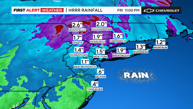
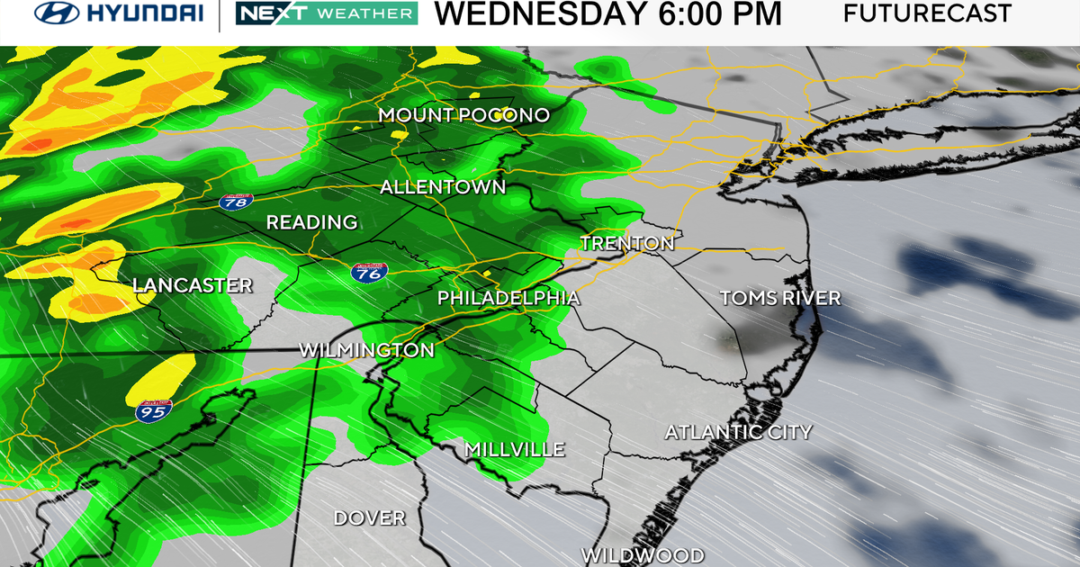
Rain: Numbers across the Tri-State Area range from 0.4 to almost 3 inches. Some heavy bouts are likely, especially for the Thursday morning commute. Ponding on roads is possible. Since we've been so dry, the ground might not soak up the rain very well and trigger some runoff.
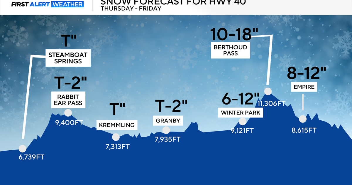
Snow: The Catskills, Poconos and even Mountain Creek in New Jersey could see some accumulation. A few slushy inches are possible, even wet flakes are possible around the city. Nothing would really stick, but it would make Friday morning travel tougher, especially since most are out of winter driving practice.
