Steady rain rolls out of NYC area overnight after severe weather moved through region
NEW YORK -- Leftover showers from Tuesday's storm will linger Wednesday around New York and New Jersey, as flooding continues to impact the commute.
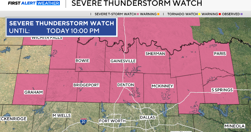
Severe thunderstorm warnings popped up throughout the region Tuesday. Heat and flood advisories were in effect for much of the area, and a flood watch was in place for the entire downstate New York region into early Wednesday morning.
Gov. Kathy Hochul warned New Yorkers to prepare for flash floods, severe thunderstorms and more as the powerful storms moved through.
"I've said this before. This is our new normal, because of climate change. And, as the leader of this state, it's all about being prepared in advance, with the early warning systems we have which went off this morning with great intensity," Hochul said.
Hochul activated 100 members of the National Guard ahead of the storm. Some 5,600 utility workers were available to repair damage to the electrical system.
NYC prepares for storms
The MTA says it was prepared for the storm, and it had crews inspecting drains in flood-prone areas. Straphangers are encouraged to check the MTA's website for the latest service changes.
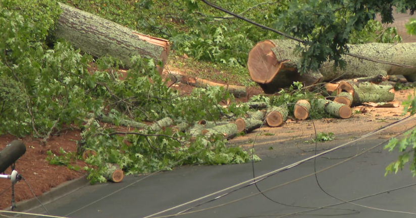
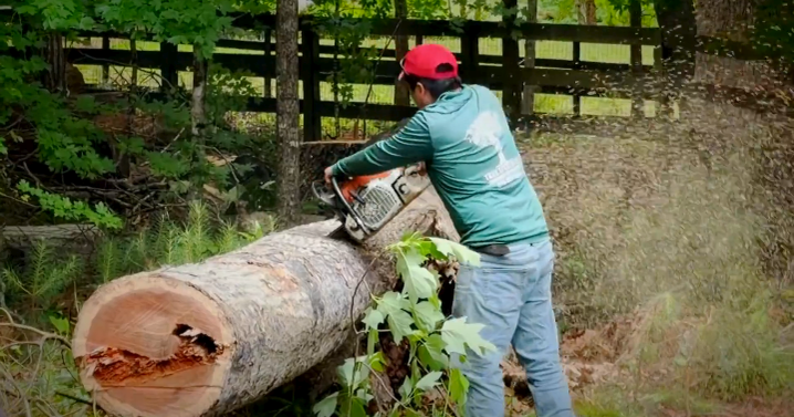
"We preposition a ton of equipment, especially those mobile pumps, so that we can respond," MTA Chair Janno Lieber said. "We're making sure there are chainsaws all around, for when the trees go down."
Mayor Eric Adams said the city was putting in work over the past day, such as clearing catch basins and deploying drones in flood-prone areas to warn residents. New York City's emergency management issued a travel advisory for Tuesday night into Wednesday.
"We've got life safety folks all over the city, FDNY with high axle vehicles. We've got NYPD out. We've deployed the tow truck task force around the city to remove vehicles," NYC Emergency Management Commissioner Zach Iscol said.
"It's about notifying. Yes, we're going to, we're going to have a large number of New York, New Yorkers that's going to sign up for NotifyNYC, but there's a large number that won't," Adams said. "So we must meet New Yorkers where they are."
Hochul issues storm warning to New Yorkers
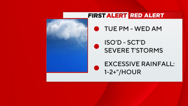
"Here's the problem. This is expected to be bringing huge volumes of rain, estimated to be between 3-5 inches in the heaviest places. This could fall at the rate of three inches per hour, and what that leads to is severe flooding. Also, a risk of severe thunderstorms, which can be deadly, and also power lines could be down and people without power," Hochul said.
Hochul said the state's Emergency Operations Center has been activated and will remain so all week. Even after Tuesday's storm, more impacts are expected toward the weekend with the remnants of Debby, which has hit the south hard.
"I would say when this starts, you do not want to be on the roads. With flash flooding, conditions change so rapidly, and you can end up in a vehicle - just a small amount of rain can turn your vehicle into a boat, and you are washed away. That is the tragedy that happens in these storms, when people are just going about their everyday lives, and not taking extreme precautions," Hochul said.
Officials said there was a 40-70% chance of flash flooding in New York City, Nassau County, Rockland and Westchester Counties Tuesday. And they emphasized that once we're through the wilderness of this particular storm, Debby's remnants will be with us this weekend.
Interactive Weather Radar
Get the forecast
Thunderstorms brought heavy rain and flood risks to New York City and the surrounding area Tuesday. The front fired up widespread dangerous storms across the area Tuesday afternoon.
A few hours of moderate-to-heavy downpours were expected to continue through the overnight hours, but the rainfall rates were much lower than they were during the storm's peak in the afternoon and evening. Flash Flood Warnings started to back off Tuesday night.
Heavy rainfall is expected to stop by the Wednesday morning commute, but clouds and showers are possible.
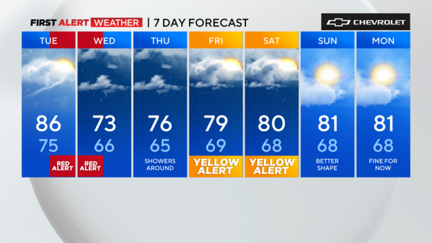
Wednesday will feature showers in and around the city and south, but it does look like some of our northern suburbs should catch a break, at least part of the day. Aside from all that, it will be much cooler with temperatures struggling to get into the low 70s – that's normal for late September, if you can believe it.
As for the rest of the week, it will remain unsettled with the stationary front off to our south. Then our eyes turn towards Debby as it interacts with the front.
First Alert Weather maps
- Live Tri-State Area radar
- Live Long Island radar
- Live NYC northern suburbs radar
- Live Jersey Shore radar
- Tri-State temperatures
Stick with the First Alert Weather team for the latest forecast and weather alerts.