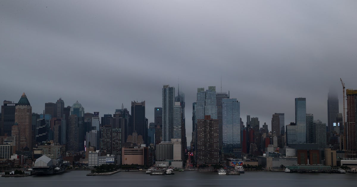
NYC weather this week will take us from rainy, to warm, to rainy again. Here's what to expect and when.
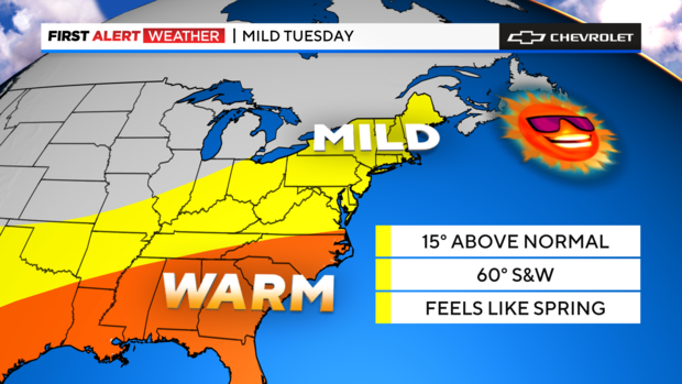
The last of the showers are exiting the scene, and we're left with this mild air as we wait for a change in the pattern. You can feel it when you step outside, with 40s and 50s pretty common.
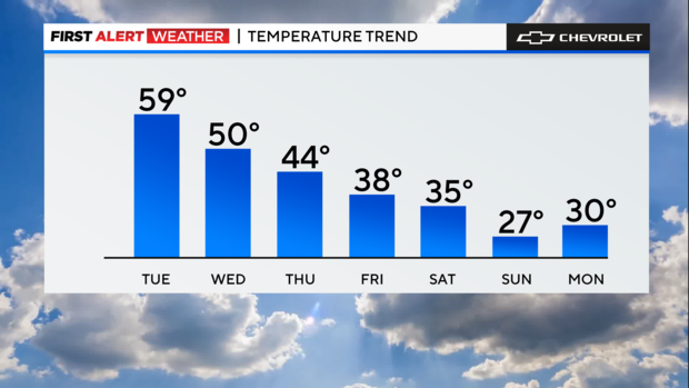
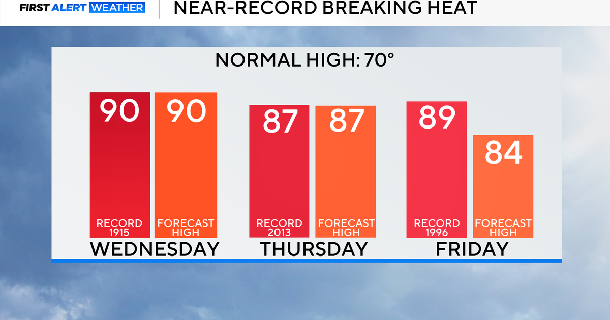
We're going for nearly 60 Tuesday, which flirts with the record of 62 set back in 2000. The normal high is 44, and we'll be nowhere near that.
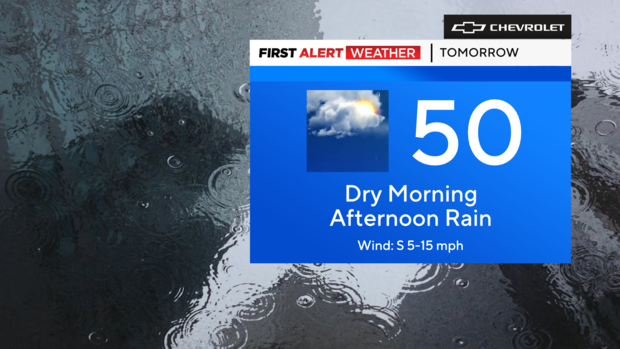
We will transition towards cooler weather, starting tomorrow, as temperatures get to around 50 in the afternoon. This pattern will continue into the weekend until the bitter cold takes over.
More rain and wintry weather headed our way
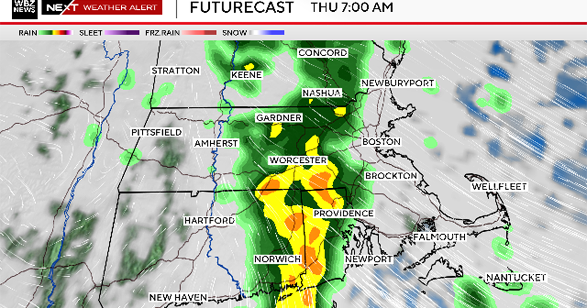
As for the next round of wet weather, that arrives tomorrow afternoon and hangs with us through tomorrow night. At this point, it seems like a manageable rain, with no flooding expected.
Then on Friday, don't be surprised if you see a few flakes, as a clipper system and coastal storm interact around our area.
After that, the weather looks quiet, but if you're planning some travel, we've got two words for you: Bundle up!
Click here for the latest weather radar maps, alerts and advisories.
