First Alert Weather: Red Alert goes into effect Friday with rain expected to add to swollen rivers, battered coastline
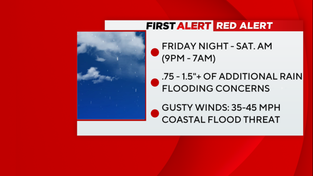
We have decided to upgrade Friday night's rain to a Red Alert.
Given the frequency of storms and vulnerability of our local flood zones, we feel this quick hitter qualifies as an elevated alert. It is, however, a smaller alert window.
Timing
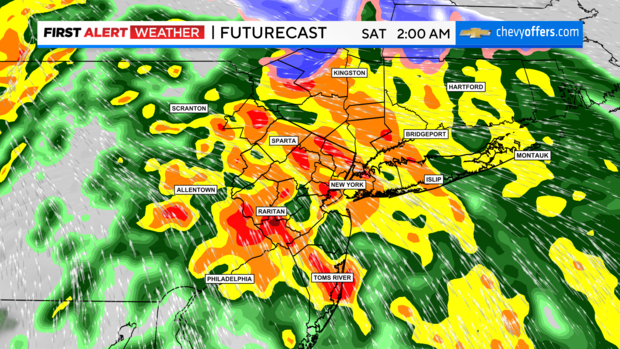
9 p.m. Friday - 7 a.m. Saturday: Of course, this can be extended depending on the results.
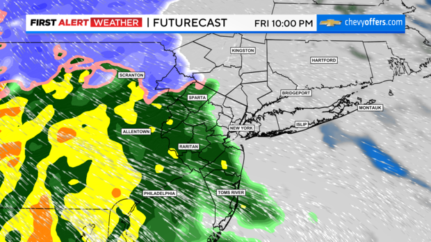
A strong low will arrive after sunset Friday and clear most of the area pre-dawn Saturday. It is fairly uniform in strength and heading over the same areas that just got rocked with rain -- the northern New Jersey river basin. Winds are forecast to gust 35-45 mph, not near the 72 mph gust we saw in New Jersey on Tuesday night.
Friday is mostly dry during the daytime hours. In fact, models are bringing rain in after 9 p.m. consistently.
Coastal Flooding
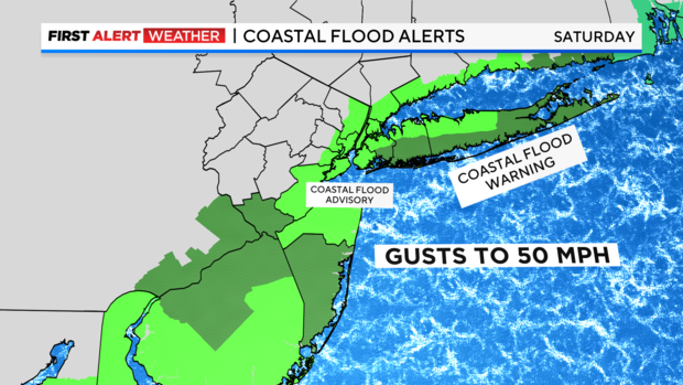
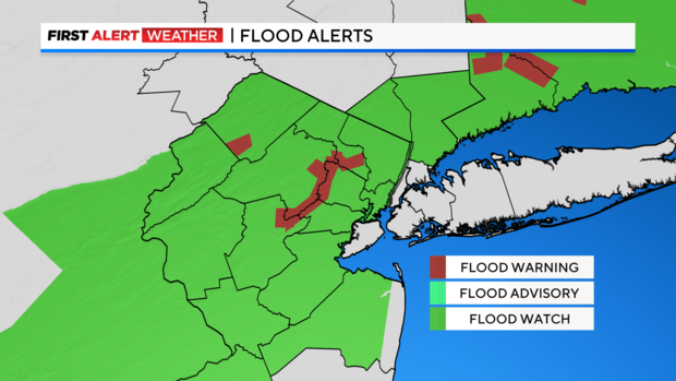
Flood alerts have been upgraded and expanded.
Flood Watches have been expanded for inland/river flooding, as well as coastal flooding. Watches are now Warnings, and even the five boroughs are under a Coastal Flood Advisory on Saturday from 7 a.m. - 2 p.m.
Long Island has another threat for 2-3 feet of water above ground level, and big seas are likely, too.
Temperature Drop
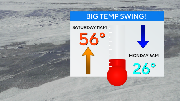
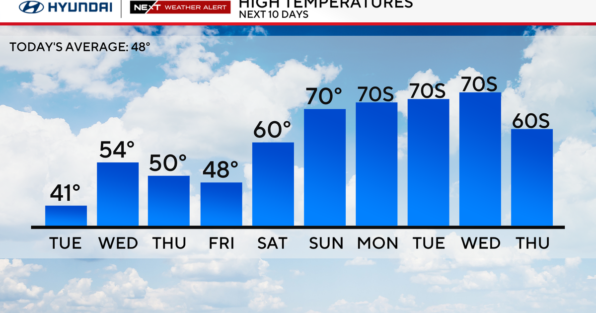
Saturday features unseasonably warm temperatures until the cold front passes. We will likely spike our high temp Saturday morning around 60.
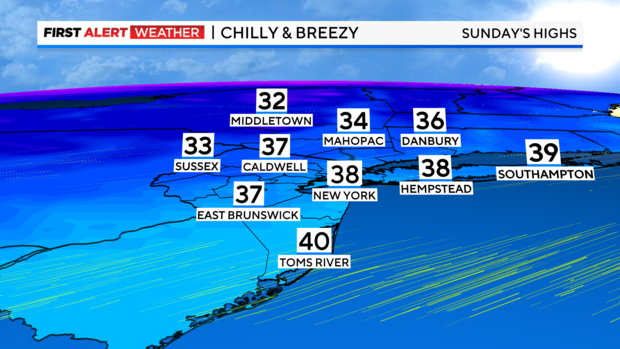
By Sunday, we're stuck in the 30s. This sets the stage for a cold pattern.
The latest models have backed off on snow Tuesday, but we all know the models fluctuate. We will keep updating, but one thing is for sure -- expect very cold air next week. Some communities will be stuck in the 20s on Wednesday.
