Late Winter Storm Hitting Tri-State With Heavy Bands Of Snow
NEW YORK (CBSNewYork) -- Just when you thought spring was around the corner, a late winter storm presented a cold dose of reality.
Some heavy bands of snow were falling Monday night across parts of the Tri-State Area and accumulations were expected to make travel difficult for motorists throughout the night into the Tuesday morning commute.
Cars were skidding and sliding all along the roads Monday night, and on Tuesday morning, conditions were expected to be even worse.
CHECK: Radar | Forecast & Alerts
New York City, northern New Jersey and southern Connecticut will likely see 2 to 4 inches of accumulation. Areas to the north and west will see 3 to 6 inches, and areas north of I-84 could see 6 to 9 inches.
Long Island will only likely see a dusting to 2 inches of snow, Quinn said.
Visibilities could be reduced to less than a mile in some areas, according to AccuWeather.
As of the 11 p.m. hour, the snow was piling up everywhere. CBS 2's Quinn reported total accumulations of 5.2 inches in Wantage, N.J.; 5 inches in Westport, Conn.; 4 inches in White Lake; and 3 inches in Central Park.
In some areas, the snow was falling at a light clip, but in others, it was blowing and and sticking, leading to higher accumulation totals.
By the early 10 p.m. hour, the snow had turned to rain in Lower Manhattan.
A winter storm warning is in effect until 10 a.m. Tuesday for Rockland, northern Westchester and western Passaic counties. A winter storm warning is also in effect for northern Connecticut until 11 a.m. Tuesday.
Quinn described the winter weather as "not the biggest or the smallest storm" we've encountered this season.
For New York City and areas south and east, snow was to continue to fall until midnight before becoming a rain event through 3 p.m. on Tuesday.
North of New York City, but south of I-84, snow was to continue to fall through 4 a.m. Tuesday and then turn into a mix of freezing rain and sleet through 10 a.m. before becoming light snow once again into Tuesday night.
The area between New York City and I-84 was the most worrisome area, on the cusp of the rain-snow line. Freezing rain is expected in that area – including Orange, Rockland and Westchester counties – and driving conditions could be treacherous, Quinn said.
Quinn said that could create the conditions for a "really, really dangerous" morning drive. In Connecticut, forecasters said the snow would also likely impact the morning commute Tuesday.
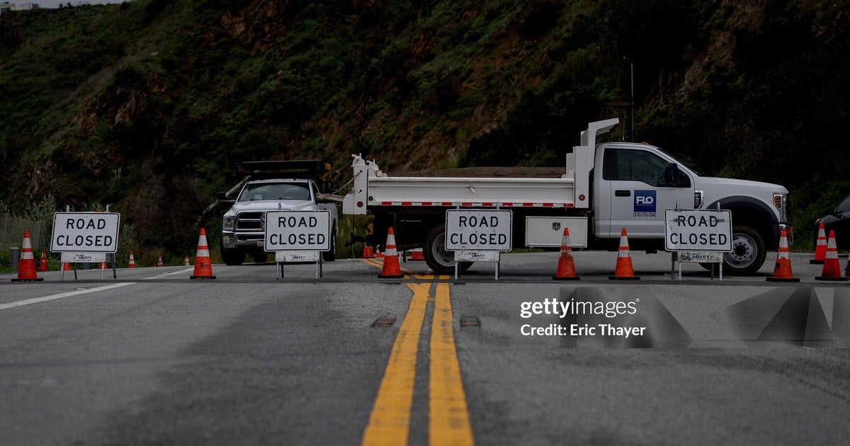
But as CBS 2's Lou Young reported, conditions were dangerous on the roads Tuesday night. In the Westchester town of Pelham, a highway was closed late Tuesday due to ice and snow.
Young said the road conditions were the worst he had seen all winter. In the city and suburbs alike, drivers seemed to be taken unaware by the fast snow accumulation.
In Westchester County, backups were seen on the Cross County Parkway, and the northbound Hutchinson River Parkway, cars were unable to make even gentle inclines and ended up blocking the exits. Cars ended up funneling through mazes of disabled vehicles.
The northbound ramp from the Hutchinson River Parkway to the Cross County Parkway was closed following an accident.
NJ TRANSIT will offer full systemwide cross-honoring continuing through the end of the service day on Tuesday, March 19.
