How much rain will New York and New Jersey get Wednesday and Thursday?
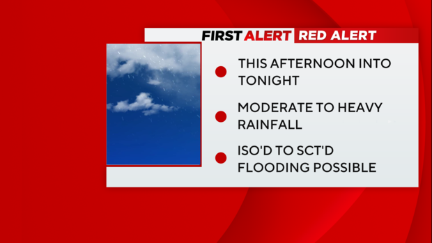
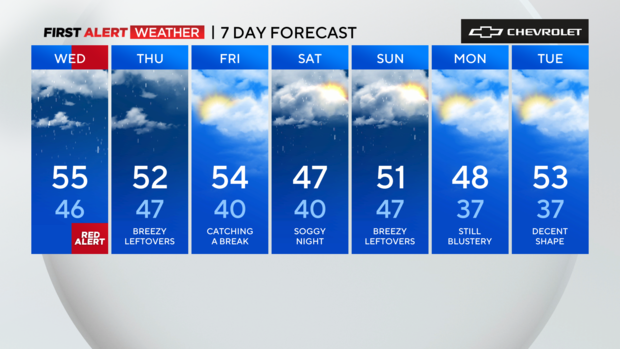
We'll be on Red Alert Wednesday afternoon through Wednesday night for periods of moderate to heavy rain, which could lead to flooding.
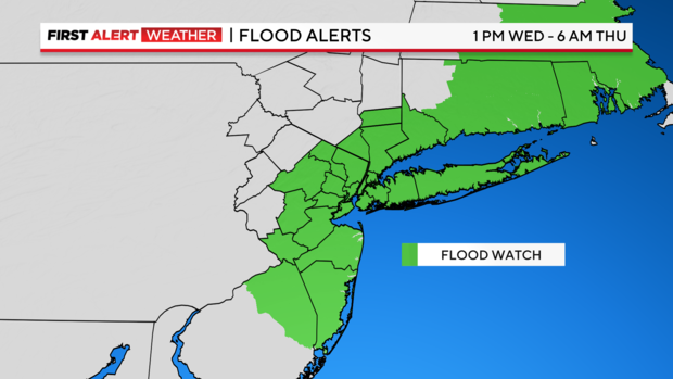
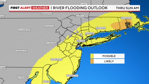
In fact, the National Weather Service has already issued a Flood Watch for much of the area which goes into effect at 1PM.
New York City has activated its flash flood emergency plan, and has issued a travel advisory.
Timeline of the storm
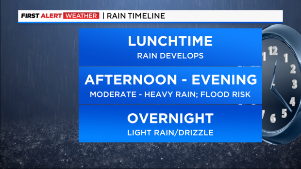
The rain will arrive around lunchtime on Wednesday and spread from south to north. Rounds of moderate to heavy rain are expected thereafter, particularly across the city, Long Island, Jersey shore and southwest Connecticut. Localized flooding will be a concern during the afternoon rush, so commuters should be mindful.
The rain should start to let up at night, but additional rainfall will only slow down the recovery process across any flooded areas.
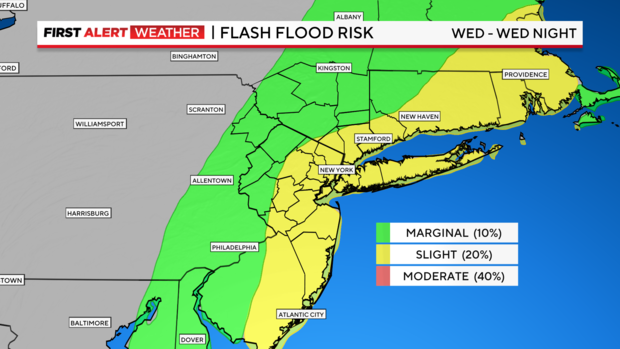
New Jersey is considered to have a marginal flash flood risk -- less than 10% -- for Wednesday. For most of Long Island and Connecticut, the risk rises to slight -- around 20%.
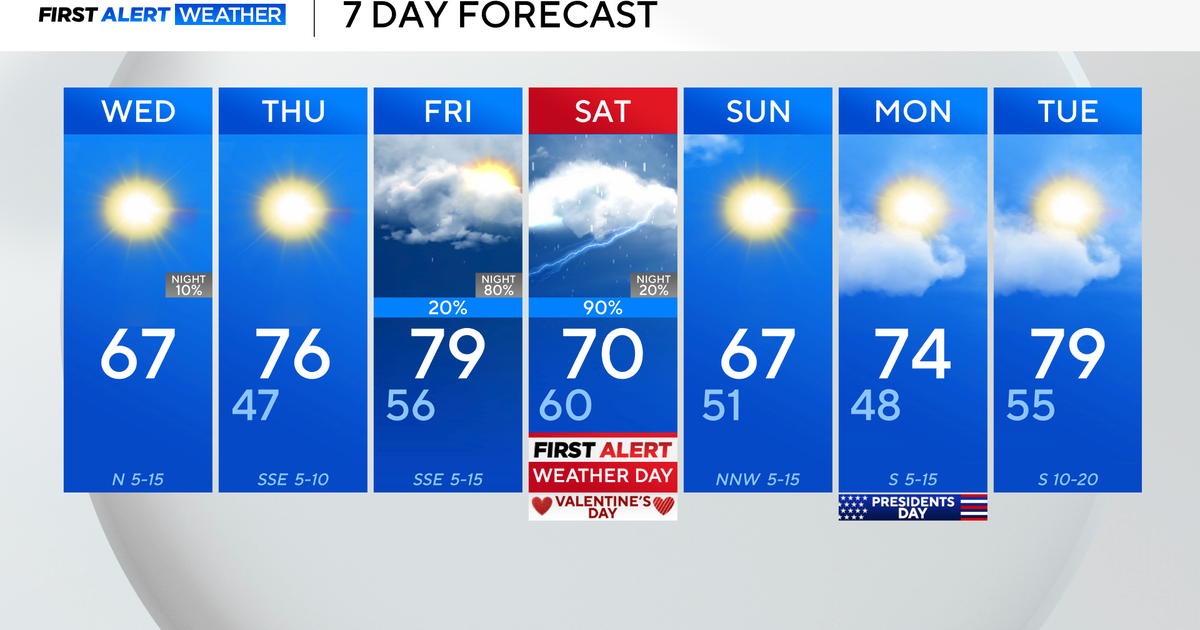
Another round of potentially significant rainfall will push through this weekend.
Soil moisture is running a little above normal, and although the river forecasts are not likely to breach major flood status, minor flood stage and some overflow could occur if training rain affects the area. Smaller rivers and streams will be quick to respond as opposed to, for example, the Passaic or Raritan rivers, that have a longer lag time.
Once the storm exits, some wraparound precipitation is likely Thursday, so keep the umbrella handy.
Expected rain totals
When all is said and done, the hardest hit areas could see up to 2-3".
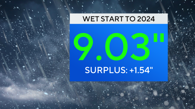
If you think we've been getting a lot of rain so far this year, you're right. We've been off to a wet start in 2024, with more than 9 inches of rain through Wednesday, which is more than an inch higher than normal.
And, as if there hasn't been enough rain already, we're set for another round of potentially significant rainfall that will push through this weekend. All of the recent rain will have left the ground saturated, so we'll be keeping a close eye on those conditions.
