First Alert Weather: Skies clearing after morning rain
Forecast
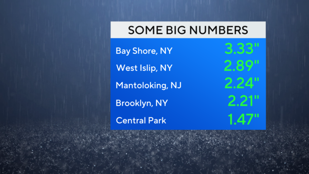
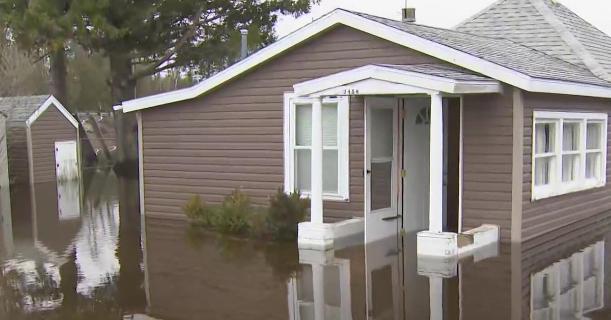
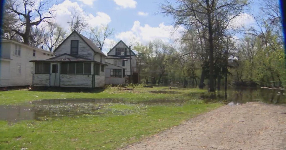
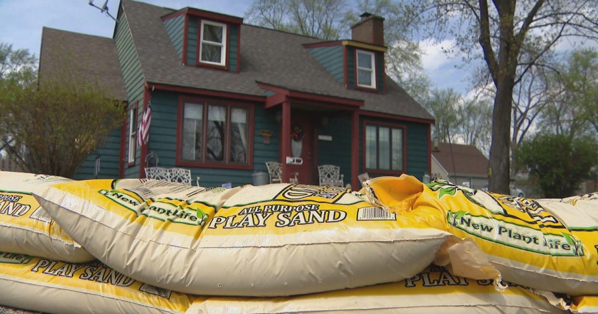
We are starting to dry out after a drenching last 48 hours. Some of our highest rainfall totals have been observed across portions of southern Nassau County and along the Jersey Shore. Aside from some local road flooding, there haven't been widespread reports of severe flooding. Some of the typical hot spots known for flooding in New Jersey, such as Pine Brook along the Passaic River, have been seeing water levels rise and minor flooding is currently happening. This will likely go on for the rest of the day into tomorrow. The Millstone River at Griggstown is experiencing some moderate flooding. Flooding in these rivers, as well as other rivers across the region is not expected to become severe though.
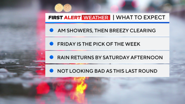
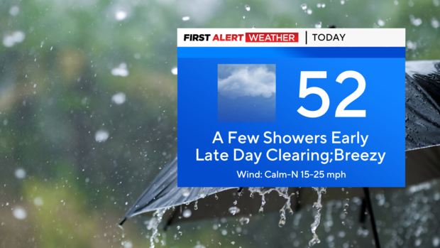
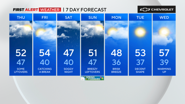
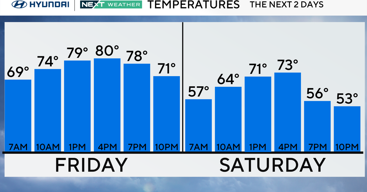
Partial clearing is expected later today, after a few leftover showers. Temps will top out in the low 50s. For tonight, winds start to pick up, which will make it feel like the 20s and 30s. Actual lows will be in the 30s to around 40. Friday will be our pick of the week, as the sun returns and temperatures rise into the low and mid 50s. Unfortunately, that break will be short-lived, with more rain moving in for the weekend. The next round of rain looks to begin on Saturday afternoon, get heavy on Saturday night, then end by early Sunday morning. Rainfall totals won't be as high as this last event, averaging only 1-2 inches.
Timeline
Today: AM light showers and drizzle. Partial clearing by the late afternoon, with increasing winds. Temperatures steady in the low 50s.
Tonight: Partly cloudy, breezy, and much cooler. Gusts between 15-25 mph. A low of 40 in the city, 30s in the suburbs.
Friday: Much nicer, with mostly sunny skies. Pick of the week. Highs in the low to mid 50s.
Saturday: Clouds to start, then rain moves in by the afternoon. Highs in the mid to upper 40s.
