First Alert Weather: CBS2's 11/20 Sunday morning forecast
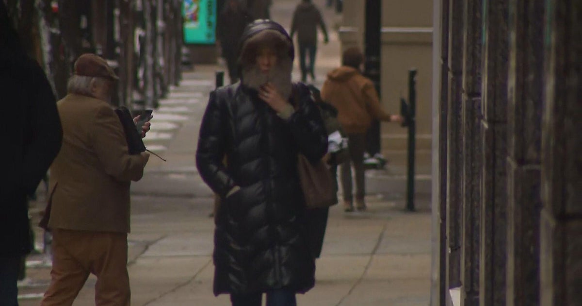
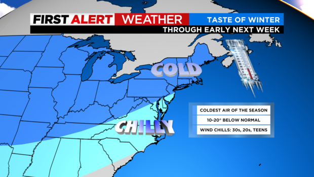
Saturday was quite a chilly and blustery day, albeit sunny - a far cry from last Saturday, when several record highs were set. In fact, our current weather pattern is not only way below average, but more on par with what you'd expect in January, rather than November.
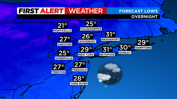
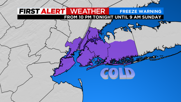
For last night, blustery conditions remained in place, with gusts up to 25 mph possible. A stray snow shower was also possible throughout the night. It was cold, with temperatures plunging into the 20s areawide. A Freeze Warning was in place for the five boroughs, as well as Nassau and Hudson counties, as the growing season has not ended here yet.
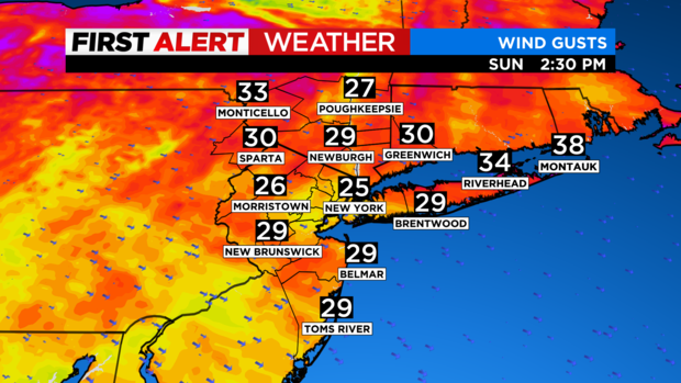
Sunday will be the coldest day of the season thus far. Temps will not get out of the 30s for highs, as a reinforcing shot of cold air moves in, and windchills will be in the teens and 20s. The culprit for those bitter windchills will be strong winds that will gust up to 35 mph at times.
A few snow showers are expected for areas north and west of the city. No accumulation is anticipated though.
Sunday night will see a continuation of cold and blustery conditions with a low of 26 in the city, while our northwestern counties will drop into the teens.