First Alert Forecast: Tracking major winter storm, snowfall projections for Tri-State Area
NEW YORK -- The CBS2 Weather Team has issued a Red Alert for Monday and Tuesday as we track a developing coastal storm (a classic nor'easter).
While this is the first (and possibly only) major winter storm of the season, to say the forecast is a challenge would be an understatement. Not only do we still have model differences, but there's also no cold air injection in place ahead of it with very warm low levels.
This means snowfall will depend greatly on the system producing it's own cold air through high precipitation rates and dynamic cooling, since temperatures are marginal. These storms are known for this, and it will happen! But it makes the forecast extremely challenging, particularly closer to the coasts.
General Timeline:
Some rain/snow showers are possible overnight Sunday (after midnight), mainly to the west and southwest of New York City.
Monday morning isn't that bad either. Plan on light rain (with snow/mix in northwest New Jersey, Orange County and northward). This is from the primary low approaching from the Midwest.
As we go through the day on Monday, it's still not crazy. The coastal low begins to develop to the south and, with winds off the water (ocean temps are in the 40s), warm air pushes northward, changing what little wintry precipitation was out there to the north and west to plain rain. The exceptions being higher elevations far north and west (Sullivan and Ulster counties), where it remains wintry.
Temps will be in the 40s. Plan on light to moderate rain for most of the area through the Monday evening commute.
After sunset Monday night and through the overnight, the coastal storm takes over, tracks northeast and rapidly intensifies. Rain becomes heavy at times in New York City and especially points south and east.
For much of the area, late Monday night through Tuesday morning is when the bulk of precipitation falls. Expect 1-2 inches of rainfall and ponding on roadways. Snow picks up in Sussex County up through Orange County and points north.
The Tuesday morning commute will be most affected as colder air wraps around our storm and the rain/snow line surges south and east. This is also where the most uncertainty exists, regarding how fast the cold air change rain to snow.
It's possible it's snowing in the city Tuesday morning. It's also possible it's still mainly rain or a wintry mix. We'll need to monitor trends to zone in on that. There's a bit more confidence that it'll be primarily snow by that time for the Lower Hudson Valley and interior northeast New Jersey (Morris, northern Passaic, Rockland, etc...)
Wraparound snow continues through Tuesday, steadiest in the morning and tapering to snow showers in the afternoon and evening.
Other Notes:
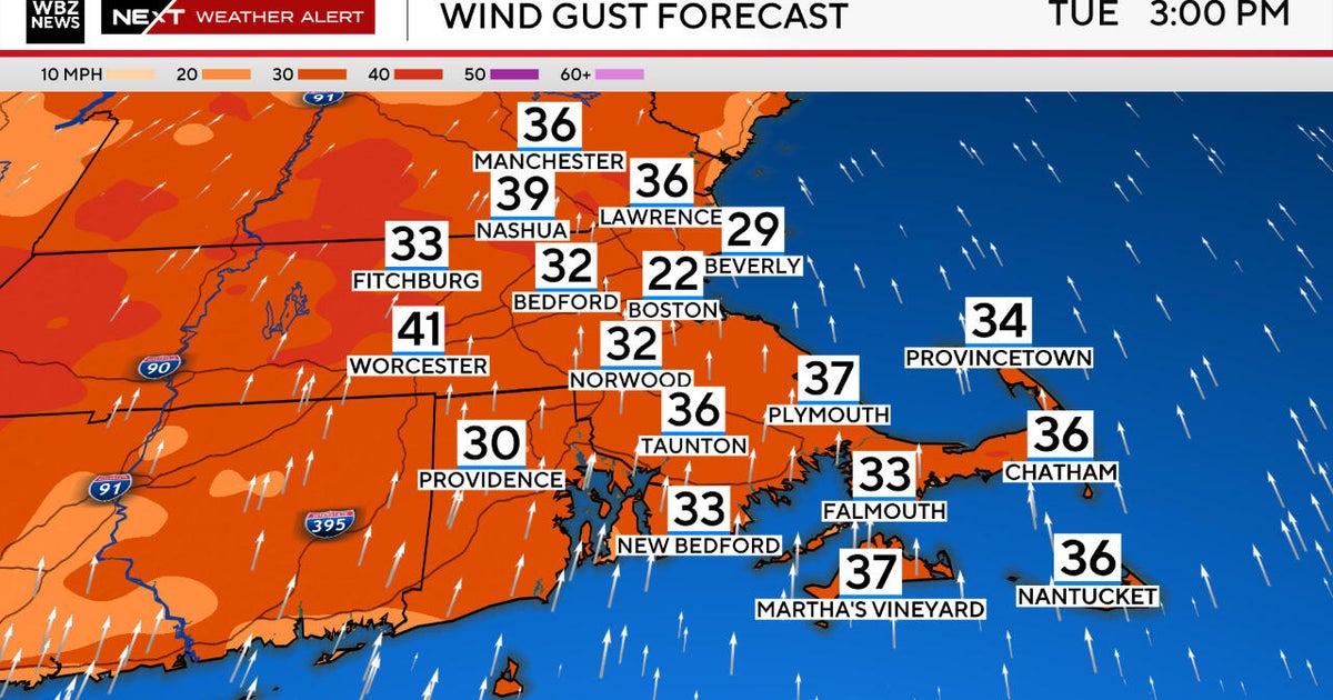
Wind gusts on Tuesday could reach 30-40 mph, even some stronger near the coast, especially Tuesday afternoon into the evening.
Typical coastal flooding concerns exist with nor'easters during high tides, especially the north shore Monday night.
As of Sunday morning, there's a winter storm watch for Sussex, northern Passaic, Orange, Putnam, northern Fairfield, and all points north. This is where the greatest chance of seeing 6+ inches of snow resides with good confidence. This will be a heavy, wet snowfall. So some downed trees and power outages are certainly possible.
Enjoy the rest of your weekend and stay tuned as the forecast develops!


