First Alert Forecast: Drier Saturday afternoon, tracking a potential nor'easter next week
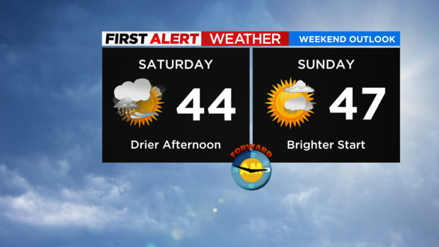
This morning's mixed bag of rain and wet snow is wrapping up and it'll be a much drier afternoon around the region.
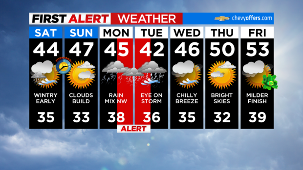
Outside of an isolated sprinkle or flurry, expect mostly cloudy skies with highs in the low to mid 40s.
You're in good shape for any evening plans, although you'll want to watch for slick spots tonight as temps fall back below freezing.
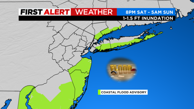
The other thing to note is, with a brisk north wind, we have Coastal Flood Advisories in effect overnight for the potential of minor to moderate flooding with the high tide cycle.
Basically, for the usual spots that flood during these higher-than-normal tides, it's one of those nights you'll want to move your vehicle.
Daylight saving time begins at 2 a.m. Sunday, so don't forget to "spring ahead" before going to sleep!
Waking up tomorrow, temps will be in the upper 20s and low 30s with much brighter skies. Morning sunshine will gradually give way to increasing cloud cover through the afternoon hours. Highs will be in the mid to upper 40s.
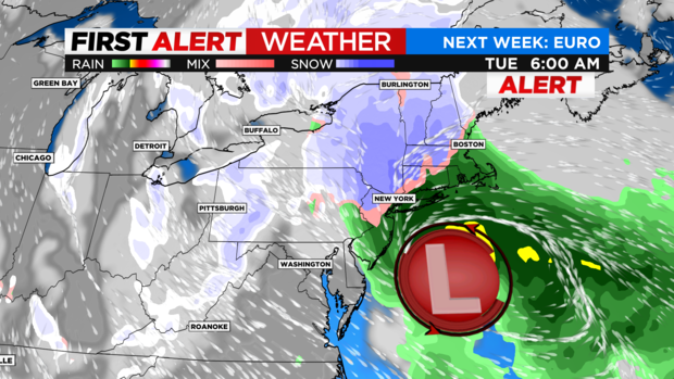
Then all eyes turn to our next (and likely more significant) coastal storm Monday into Tuesday. We'll have more details as new data comes in, but for now heavy rain, strong winds, and accumulating snow (mainly N&W) is on the table.
As is typical with our nor'easters, the exact track will determine how much warm vs. cold air there is, and where the axis of heaviest precipitation occurs. Stay tuned!
