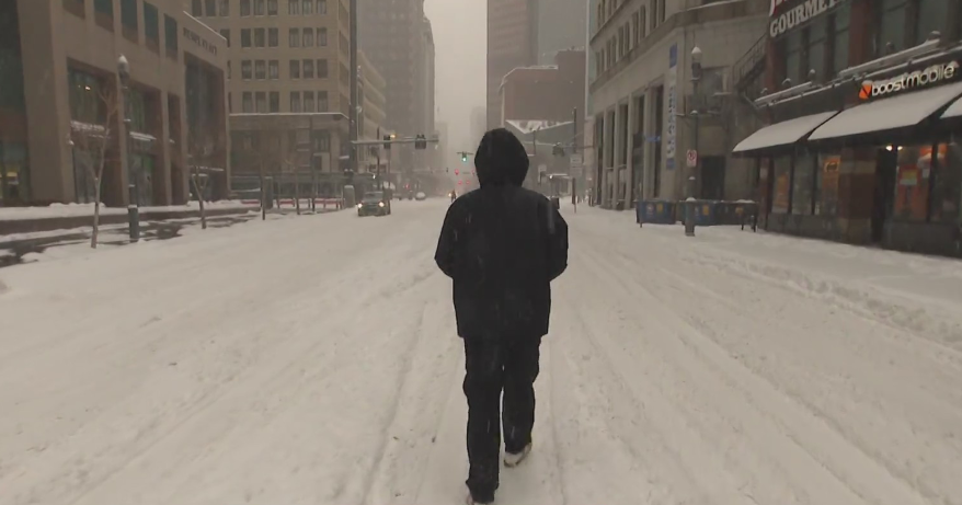
Winter storm warning in effect for Colorado while heat wave hits East Coast, South
A winter storm is expected to sweep through parts of Colorado over the weekend, according to the Boulder National Weather Service. Between 3 to 12 inches of heavy snow are expected in Denver, Colorado, and Palmer Divide, while snowfall in the Continental Divide could reach almost 2 feet, according to the NWS.
"The surge of cold air associated with a digging upper trough will overspread much of the western U.S. with unseasonably cold temperatures together with a round of heavy mountain snows, first from the northern Rockies and then down to the Colorado Rockies today," the NWS said Thursday. "The surge of cold air will bring a dramatic drop of temperatures from the 90s down to freezing across the central High Plains where a late-season winter weather event is forecast to develop. Potential exists for more than a foot of snow across the higher elevations of the Colorado Rockies while accumulating snowfall can be expected down into the central High Plains."
The news comes only 24 hours after extremely high temperatures occurred in the state of Colorado, with average temperatures recorded in the high 80s on Wednesday and Thursday. Now, residents are bracing for extreme low temperatures and hazardous driving conditions.
Drivers should avoid travel in mountains and foothills from Friday through Saturday morning and mid-afternoon, as major highways like the Cameron Pass are forecasted to have as much as 19 to 30 inches of snow, in addition to an avalanche threat.
Significant tree damage can be expected at places of heavier snowfall, according to the NWS. To prepare for the storm, Colorado residents are encouraged to charge cell phones and generators ahead of time, protect outdoor plants, dress appropriately for the weather and avoid parking or walking under snow weighted branches.
According to the National Weather Service, a May snowstorm for Denver, Colorado is unusual, but not unprecedented. The largest May snowstorm took place from May 25-26 in 1950, where officials recorded 10.7 inches of snowfall. The average last day of snowfall for Denver is April 28, according to the NWS.
Meanwhile, across the country, the East Coast and southern states are forecasted to experience one of the first major heat waves of the year, with temperatures rising to the mid to high 90s.


