More severe weather is coming – partially powered by a strengthening El Niño
The 2019 severe weather season is off to a running start. Less than a week after devastating tornadoes hit the Deep South, two more severe weather threats are on their way within the next week.
A strengthening El Niño may be making severe weather outbreaks more frequent and intense.
One storm that was located over California as of Thursday will now move east into the Rockies and western Plain States late Friday into Saturday. It will be powered by an active Pacific storm track and atmospheric river from the Tropical Pacific.
While a general thunderstorm risk will start during the day Friday in eastern Texas through the Tennessee Valley, the biggest risk of severe thunderstorms will be later Friday night into Saturday.
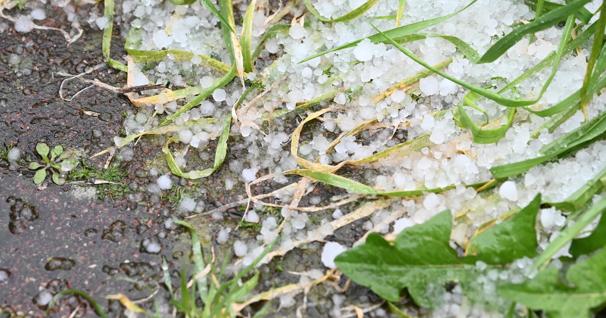
A severe thunderstorm is defined as a storm with winds of at least 58 mph and/or hail larger than 1 inch in diameter.
The Storm Prediction Center, a government agency that operates under the National Weather Service, said in a statement Thursday morning that robust, turning winds at various layers of the atmosphere are expected, highlighting the threat for strong winds and a few tornadoes.
"At this time, the most likely axis where conditions may become most favorable for a more substantial severe risk appears to exist from the Mississippi Delta region, east-northeast across northern Mississippi and parts of western Tennessee, and into the Tennessee Valley/northwest Alabama," the statement said.
Unlike last spring, when an unfavorable wind pattern made for a quiet start to the severe weather season, this season's storm track is the perfect storm for severe weather. An active Pacific jet stream continues to thrust storm systems -- with cold air in the upper levels of the atmosphere -- across California and into the Plain States and Southeast. When that cold mixes with warm moist air pulled north from the Gulf of Mexico, severe weather ignites.
This active pattern is enough on its own to spark severe weather. But this year, El Niño is an added instigator. El Niño's warm Tropical Pacific waters are helping power a strong subtropical jet stream, or atmospheric river, into the southern U.S. And unlike most El Niños, it is getting more intense and influential as spring unfolds.
So far this winter, El Niño has been considered weak. But for the first time in this El Niño cycle, Equatorial Pacific water temperatures have spiked into the moderate El Niño range. That will likely power a more active Southern U.S. storm track and more frequent severe weather threats.
El Niño's overall impact on severe weather is more complicated. Research shows we tend to see less severe weather and tornadoes overall during El Niño years, but the threat for severe weather is shifted further south into Texas, along the Gulf Coast and especially in Florida. It is these specific areas that may be most exposed to more severe weather and tornadoes this season, but every El Niño brings its own unique impacts.
We don't have to look far into the future to see the next significant severe weather threat after this weekend. Another vigorous storm will emerge from the Southwest U.S. on Tuesday and Wednesday.
The focus of that storm is expected to be centered on Texas, and it will spread north and east from there. It's too early to say how big the impact will be, but there will be a strong subtropical jet stream connection, meaning heavy rain and some severe storms seem likely.


