Hurricane Joaquin takes shape, could threaten East Coast
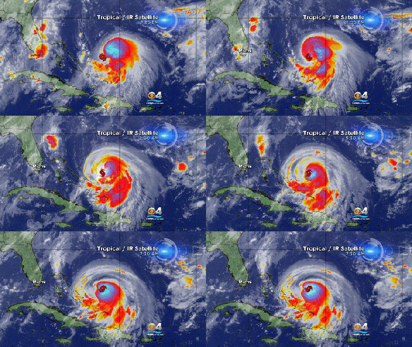
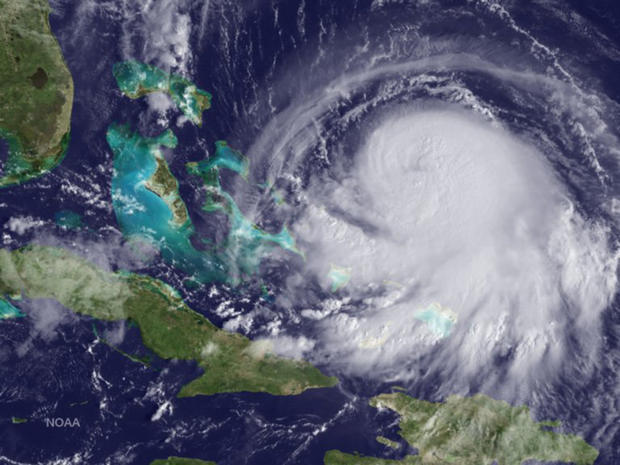
MIAMI - Hurricane Joaquin took shape Wednesday morning as the storm system neared the Bahamas.
A hurricane warning has been issued for the central Bahamas as the storm approaches.
Hurricane Joaquin's maximum sustained winds increased to near 85 mph, reports the U.S. National Hurricane Center. The storm is expected to strengthen over the next two days.
The storm is centered about 190 miles east-northeast of the central Bahamas and is moving southwest near 6 mph.
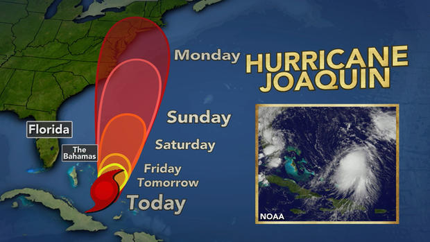
Joaquin is forecast to continue to move toward the west-southwest or southwest on Wednesday. A turn toward the west and a decrease in forward speed are forecast on Thursday. On the forecast track, the center of Joaquin is expected to move near or over portions of the central Bahamas tonight and Thursday.
CBS New York meteorologist Lonnie Quinn said on "CBS This Morning" Wednesday, "We believe there will be landfall, probably sometime Monday, anywhere from North Carolina to, say, Baltimore, in that area."
Reuters reports that Arthur was the last hurricane to hit the mainland U.S., when it came ashore as a Category 2 in North Carolina in July 2014.
The last major hurricane to make U.S. landfall was Superstorm Sandy, which hit the New York area in October 2012, killing more than 120 people and causing an estimated $70 billion in damage.
Meanwhile in the Pacific, Marty has weakened to a tropical depression as it moves away from Mexico's coast.
Marty's maximum sustained winds have decreased to near 35 mph and it's expected to weaken to a remnant low later Wednesday or on Thursday. The depression is centered about 115 miles south-southwest of Zihuatanejo, Mexico.


