Irma expected to be a "major hurricane"
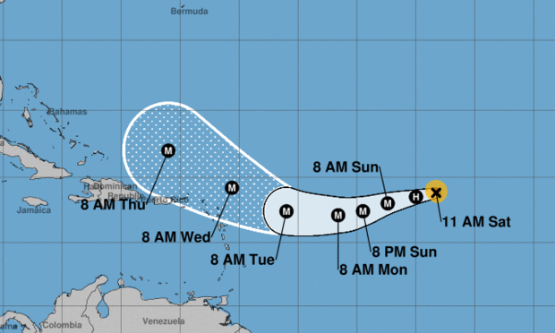
Far out over the Atlantic, Hurricane Irma was expected to remain a small but powerful storm throughout the weekend while following a course that could bring it near the eastern Caribbean Sea by early next week.
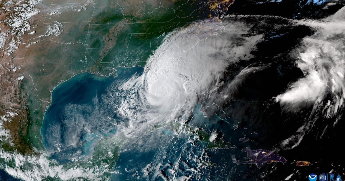
The National Hurricane Center (NHC) said late Saturday that the storm is expected to be a "major hurricame" and could cause "dangerous wind, storm surge and rainfall impacts on some islands." It is too soon to specificy where it will hit and what -- if any-- the impact on the continental U.S. and Bahamas will be.
The storm is headed westward with 110 mph winds, the NHC said.
Earilier Saturday, the NHC that the storm "continues to fluctuate in strength but remains a powerful hurricane." In a subsequent advisory, the NHC said Irma was a "small hurricane," with hurricane-force winds extending 25 miles from its center.
Irma has maximum sustained winds of 110 mph, making it a Category 2 storm, the NHC said. Irma had strengthened to a Category 3 on Thursday, with maximum sustained winds near 120 mph.
The storm is now located about 1,135 miles east of the Leeward Islands in the Caribbean and moving south of due west at 15 mph. It is expected to slow down and move toward the west-southwest over the next several days, the NHC said.
Forecasters said earlier Saturday that Irma was expected to "remain a powerful hurricane into early next week." No coastal watches or warnings are in effect.
Irma formed on the heels of Hurricane Harvey, which struck the Gulf Coast of Texas Aug. 26. Thousands have been displaced by the storm due to torrential rain and flooding.
Tropical Storm Lidia
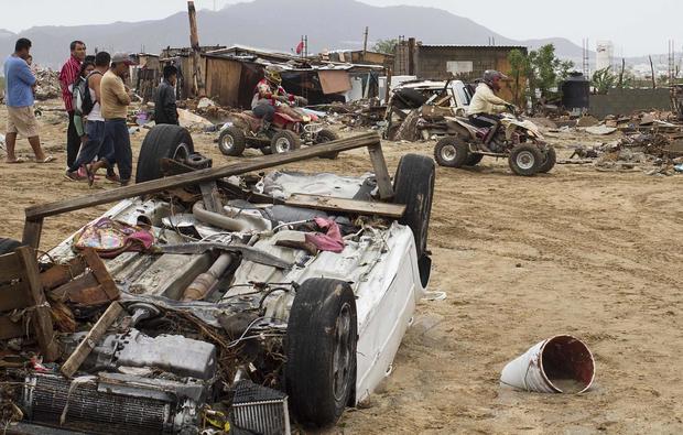
Meanwhile, Tropical Storm Lidia marched up Mexico's Baja California Peninsula on Saturday, dumping more heavy rains on a region where it has already flooded streets and homes, stranded tourists and left at least five people dead.
Lidia's maximum sustained winds dropped to 40 mph, just above the minimum threshold for a tropical storm, as its center passed over a sparsely populated area of the peninsula that is home to a large nature reserve and back out over Pacific waters. It was forecast to lose more strength over the course of the day.
Authorities have said the death toll could rise over the weekend as emergency crews surveyed the damage in villages with ramshackle homes. One person was considered missing and video broadcast on local networks showed vehicles being swept away by flooded rivers.
Baja California Sur Gov. Carlos Mendoza reported that Lidia had dumped about 27 inches of rain, "the largest amount of water we have had since 1933."
The dead included two people electrocuted by power lines, a woman drowned after being swept away by water on a flooded street and a baby was ripped from its mother's arms as she crossed a flooded area. Mendoza said late Friday that there was a fifth victim but did not give details.
State Tourism Secretary Luis Genero Ruiz said about 20,000 foreign tourists were stranded after airlines suspended flights to the area.
About 1,400 people had sought refuge at storm shelters as the storm flooded streets and stranded tourists.
The U.S. National Hurricane Center said Lidia made landfall early Friday west of La Paz, the capital of Baja California Sur state.
Lidia's wind strength had eased to 45 mph Saturday morning, and further weakening was forecast. The center said Lidia was expected to become a remnant low pressure system by Sunday.
The storm was centered about 50 miles east of Punta Eugenia on Saturday morning and was heading northwest at about 12 mph.
Lidia earlier spread rains over a broad swath of Mexico including the capital, where it was blamed for flooding that briefly closed the city's airport this week.


