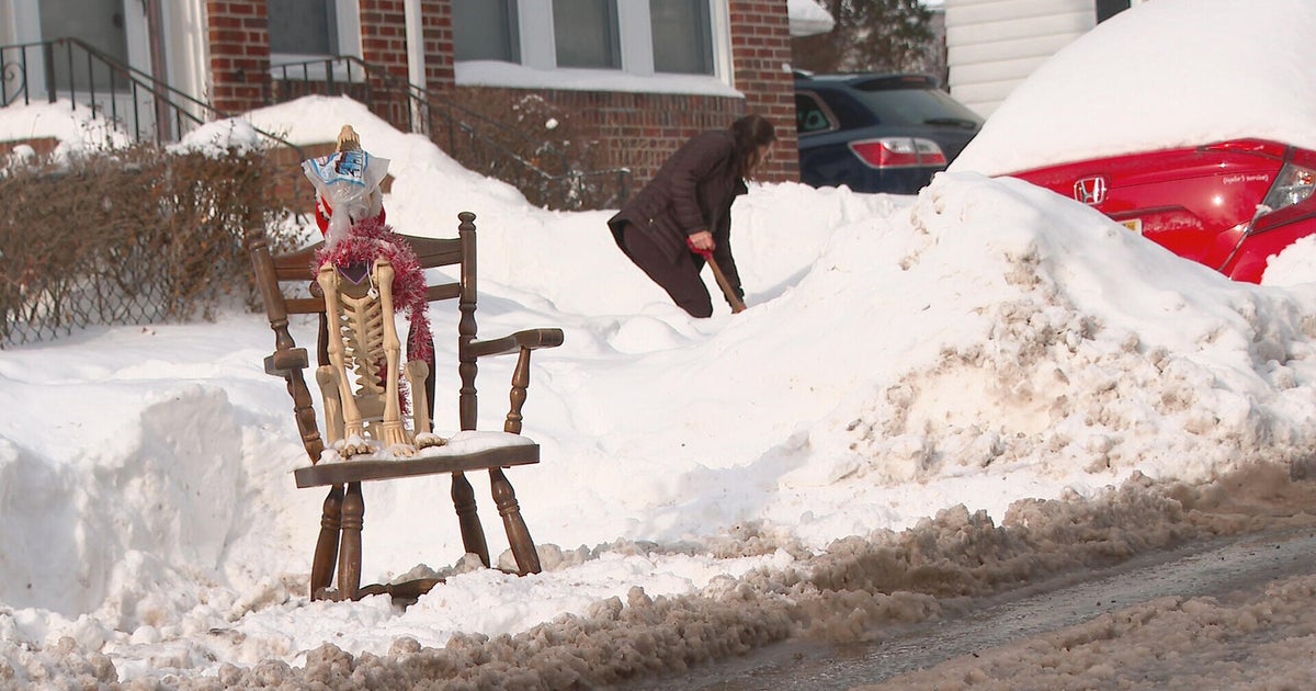
Snowfall makes Christmas Day travel difficult
BOSTON -- New England woke up to a white Christmas and then some on Monday, as snow made for tough travel and even closed down runways at Logan Airport, CBS Boston reports. A Massport spokesman said airport crews were not able to keep up with the snow and were not departing or landing aircraft as of about 10 a.m. Crews were working to open a runway, but delays are expected throughout the day.
On the roads, the Massachusetts Department of Transportation said it had nearly 2,000 crews out plowing as of 10 a.m.
"We really advise stay in as much as you can and if you have to go out, take it slow and leave lots of space," the said Jonathan Gulliver, the department's highway administrator.
The speed limit on the Massachusetts Turnpike was reduced to 40 mph from the New York border to Boston Monday morning. CBS Boston's Anna Meiler shared video showing low visibility and snow-covered roads on the turnpike.
The precipitation was expected to wrap up around noon, but the National Weather Service warned of a "flash freeze" in the greater Boston area as temperatures dropped.
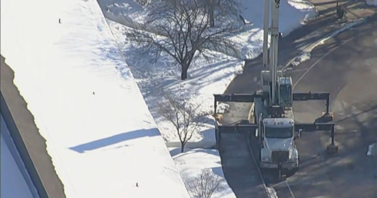
A combination of high wind gusts and heavy snow/ice on wires could lead to additional power outages in the region. There were about 13,500 reported outages in the state as of 10:30 a.m., officials said. A steel pillar fell onto the Sagamore Bridge, closing both eastbound lanes.
CBS Boston meteorologist Dave Epstein recommended clearing out any snow and slush because temperatures will not be above freezing for the rest of the week.
New England wasn't the only area that woke up to a white Christmas and the travel hazards that come with it. Overnight snowfall was blamed for numerous traffic accidents in the Seattle area, and Winter Weather Advisories remained in effect until 10 a.m. local time, CBS affiliate KIRO reported.
A storm system also dumped snow across the midwest, and Chicago is coping with its coldest temperatures of the season. CBS Chicago reports the National Weather Service has issued a hazardous weather outlook for northern Illinois and northwest Indiana, warning of a significant risk of excessive cold and dangerously low wind chills throughout the day Monday. The temperature was expected to fall to around 12 degrees by 5 p.m., with wind chills dropping to 5 degrees below zero and wind gusts as high as 30 mph.
The snow did not appear to be significantly disrupting air travel at Chicago's main airports. According to the Associated Press, Chicago's O'Hare International Airport was reporting just six cancelations and average delays of only 15 minutes by midday Monday. There were no cancellations at the city's other major airport, Midway, and delays were less than 15 minutes on average.
Roadways in parts of the midwest remain treacherous. Parts of northern Indiana and northern Michigan were under a Winter Storm Warning, with officials urging motorists to stay off the roads if possible, while the Detroit area faced a Winter Weather Advisory due to slick conditions and poor visibility from blowing snow.