Major storm pounding Northern California heads south
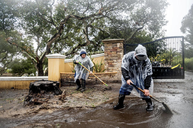
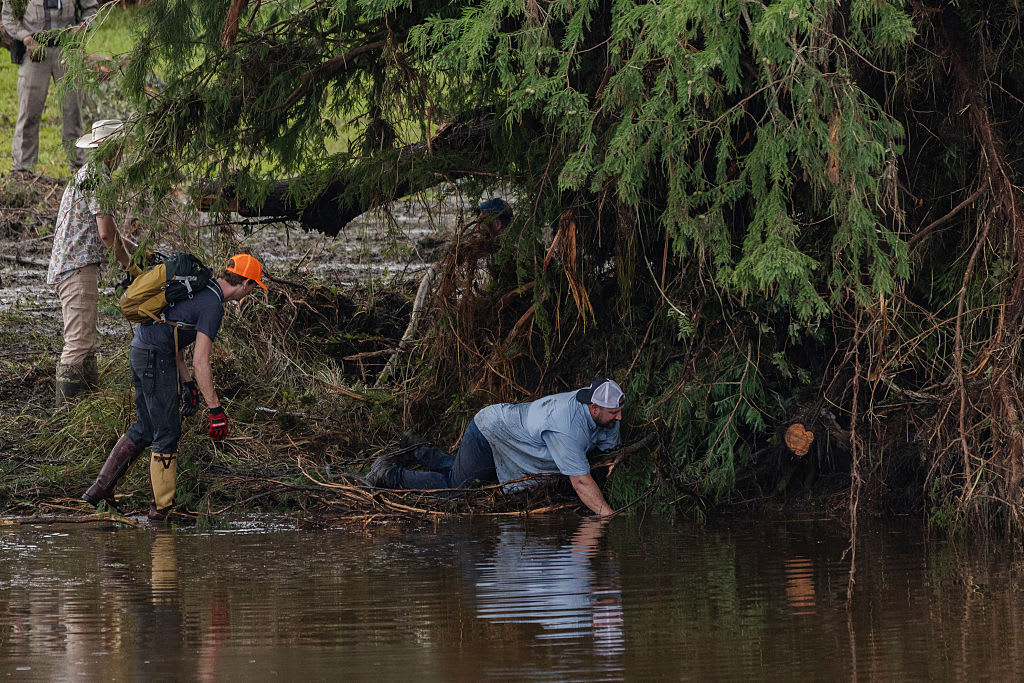
A storm that pounded Northern California with rain, snow, wind and mud rolled southward early Thursday, prompting flood warnings and threats of mudslides in areas burned bare by wildfires. An atmospheric river of moisture from the Pacific Ocean was expected to dump 1-1/2 to 6 inches of rain in Southern California from Thursday night into Saturday, with winds up to 50 mph, according to the National Weather Service.
But threats also remained in portions of central and Northern California.
Authorities warned that the rain could cause flooding in some places. A flash flood watch was in effect for areas burned by last year's blazes the blackened ground can't absorb moisture and the rain could bring mud, boulders, trees and other debris flowing into recovering areas.
A January 9, 2018, debris flow that blasted the Santa Barbara County community of Montecito killed 23 people. That county is expected to get additional rain from the storm.
Several feet of snow were possible in the mountains. The California Highway Patrol warned that the Tejon Pass, a major north-south freeway mountain route linking Southern California and the central valley, could be closed repeatedly because of blowing snow and ice.
High winds and huge waves also were possible up and down the state.
The storm punched into Northern California late Tuesday night and continued on Wednesday, drifting down the coast and stalling over Big Sur before pivoting back northward.
Two homeless people died in the storm in Sacramento, the CBS station there reports. Their deaths prompted the City Council to pass an emergency ordinance opening shelters.
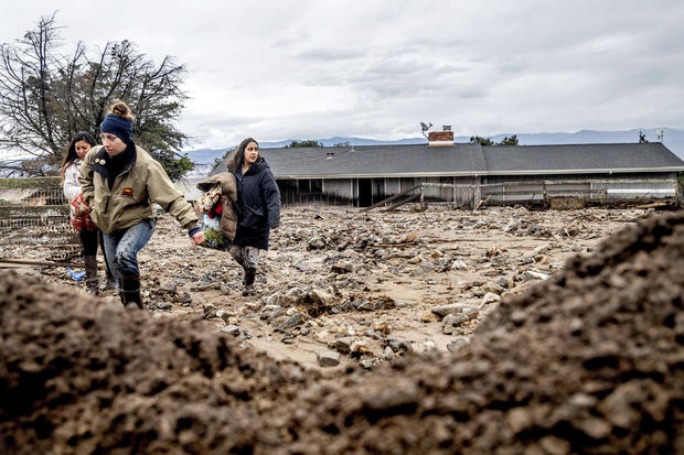
Mudslides near Salinas south of the Bay Area damaged about two dozen rural ranch homes beneath hillsides scorched by the River Fire last August, said Dorothy Priolo with the Monterey County Regional Fire Protection District.
One woman was treated for broken bones after mud went "completely through the house" in the early morning hours, Priolo said. Fifty horses were rescued.
The threat of flooding and mudslides from fire-scarred areas persisted overnight in the Santa Cruz mountains, where about 5,000 people remained under evacuation orders.
"I've been here for 15 years and this is the worst it's been. Ever," Bonny Doon resident Maureen Huber told CBS News.
Parts of the San Francisco Bay Area could see thunder, lightning and even hail into Thursday afternoon, according to the weather service.
Flash flood warnings remained in effect through Thursday afternoon for parts of Santa Cruz and San Mateo counties, Monterey County and areas of the North Bay, especially those near burn areas.
In Paso Robles, authorities urged homeless people in the bed of the Salinas River to head for higher ground because the river could rise as much as 25 feet. Some had left but others moved their tents higher and hoped for the best, KSBY-TV reported.
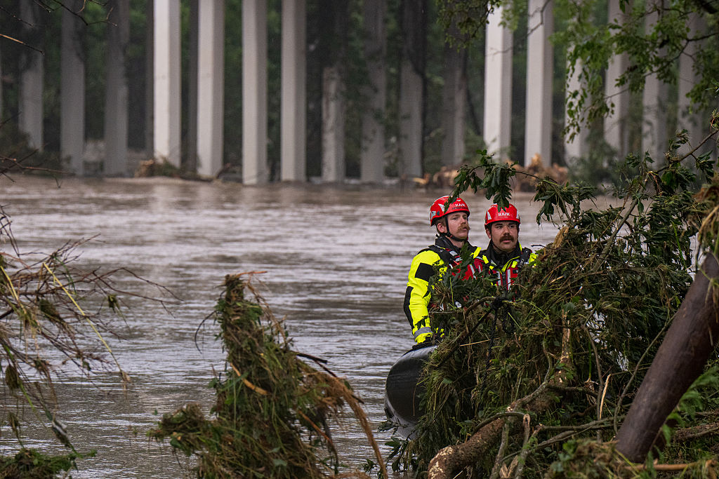
State and local teams with specialized rescue skills were positioned in five counties because of flooding threats.
The storm topped trees and knocked down power lines through a wide swath of the north. Pacific Gas & Electric said about 575,000 customers lost power Tuesday and Wednesday.
One gust hit 125 mph at Alpine Meadows near Lake Tahoe.
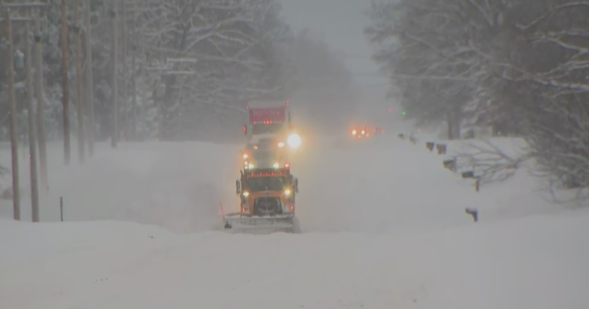
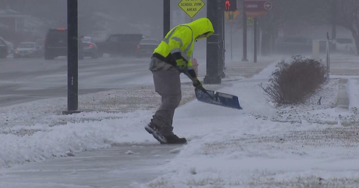
A blizzard warning remained in effect through Friday morning on both sides of the California-Nevada border along a 170-mile stretch of the Sierra.
"This is a life-threatening situation. Do not attempt to travel," a weather service warning said. "Road crews and first responders may not be able to rescue you. Stay indoors until the snow and wind subside. Even a short walk could be deadly if you become disoriented."
Schools closed in several Nevada counties.
The atmospheric river driving the nasty weather is a concentrated ribbon of moisture that can move water vapor faster than the Mississippi River, CBS News meteorologist and climate specialist Jeff Berardelli said.
The phenomenon is part of a major change in weather for California, which had significant drought conditions for months. The dryness contributed to wildfires that scorched more than 4.2 million acres in 2020, the most in recorded modern history.
