Twin Cities Under Severe Weather Threat Monday Afternoon, Evening
MINNEAPOLIS (WCCO) -- You'll want to keep an eye on the sky Monday afternoon and evening as the Twin Cities is under a potential threat for strong and even severe storms.
WCCO Meteorologist Mike Augustyniak says our Monday will start out with sun and it will definitely feel steamy with dew points in the low to middle 60s. That sets up the potential for storms to develop late Monday afternoon and into the early evening hours.
Augustyniak says the area under the greatest threat for strong storms is from the Twin Cities metro, extending into eastern Minnesota and western Wisconsin. The National Weather Service has much of Minnesota under at least a marginal threat for severe weather. Much of central and southern Minnesota has a slight chance for strong storms.
Augustyniak says if any severe weather develops, it should clear out of the Twin Cities by 8 or 9 p.m.
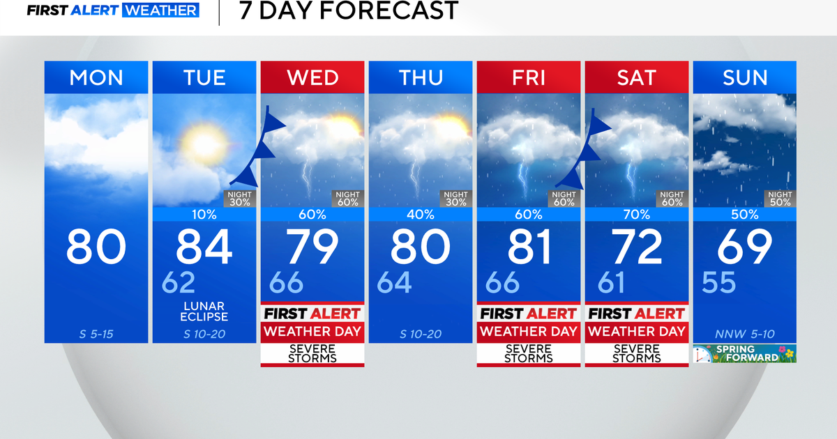
Monday should also be the warmest day of the week. We'll have a high in the middle 80s, and highs should hold steady in the high 70s to near 80 the rest of the week.
