Are these heavy isolated storms making a difference in our drought?
MINNEAPOLIS -- Lately, it seems like the weather you experience could come down to what block you live on. While some areas get blasted with storms, others don't see a drop of rain.
While much of the Twin Cities continues to face severe drought, some storms have ended up making a difference.
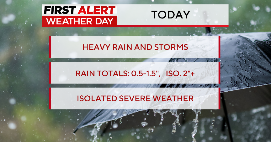
Seemingly out of nowhere, Brian Giffis of Northeast Minneapolis watched as heavy rain came and went, but not before dumping close to an inch and a half.
"Just looking out the window, I could see the rain coming down in sheets, going sideways," he said. "It had been dry for several weeks, so I think getting that rain is going to help the grass, especially my grass because it's so terrible."
But as much as it rained at Giffis's house, it didn't elsewhere. It's part of a repeated series of events throughout the Twin Cities over the last ten days. Heat, rain, repeat. Cities like Eagan, Cottage Grove and Vadnais Heights have all seen momentary downpours – their neighbors have not.
The reasoning comes down to science, says Minnesota DNR Climatologist Pete Boulay.
"It feels like a hot tub. I feel like I'm in a hot tub right now," Boulay joked Thursday. "But when you have a stagnant air mass like we do right now, there's very little air movement. Not only is there little air movement here, when you go up 20,000 feet, there's not a lot of air movement up there too. Any thunderstorms that develop, they just sit right where they are."
The result are quick, intense thunderstorms that impact some communities but not others. It's not enough, Boulay says, to make a significant impact in our drought – even when some streets are flooding.
The Twin Cities Metro is short nearly six inches of rain since June 1, Boulay said.
He's hopeful rain this weekend could make a difference across the board – but adds it would take roughly an inch of rain a week to make a significant dent in the drought before the end of the season.
