Travel Advisory Issued As Snowstorm Rumbles Over Minnesota
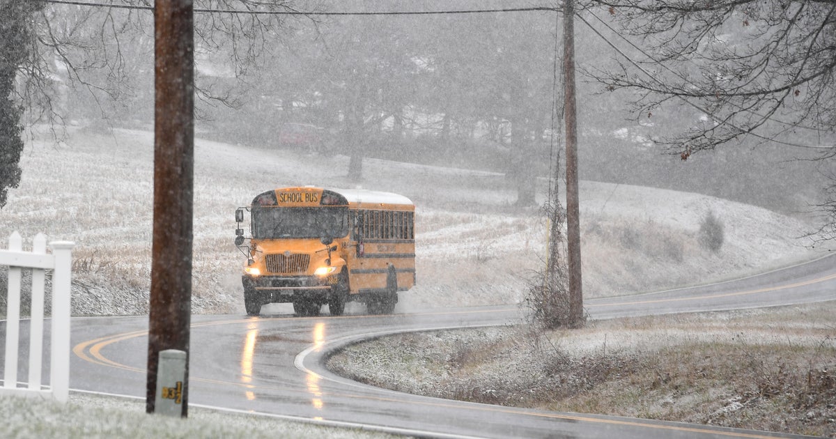
MINNEAPOLIS (WCCO) –After a Monday morning of rain, sleet and thundersnow, Minnesotans are bracing for the brunt of a winter storm that threatens to dump more than six inches of snow on communities across the state.
The National Weather Service has issued a winter storm warning for a large swath of Minnesota, stretching from Grand Forks in the northwest to the Twin Cities metro. Schools across the state have closed in anticipation of the storm, as have some businesses and even bus services.
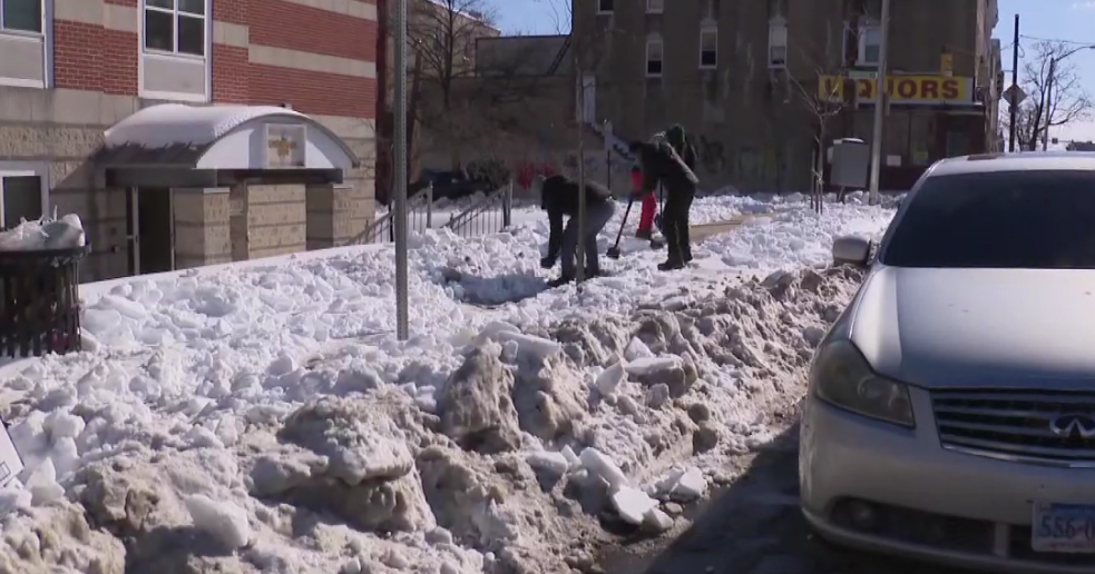
Monday night, cities across Minnesota reported several inches of snow:
The Minnesota Department of Transportation also issued a no travel advisory for a patch of western Minnesota due to blizzard conditions and limited visibility. The area includes Marshall and Montevideo.
Travel in central Minnesota towns like Milaca has been a nightmare, especially in the open areas.
"Well we just came around Mille Lacs Lake and the wind was about three times what it is now, just coming right off the lake. It was almost a whiteout. So it's dangerous," Gary Raynor said.
While conditions are dangerous, some drivers were taking it all in stride.
"I think it's overrated, I don't think the roads are that bad yet," Michael Helmbrecht said. "I'm hoping to make it home in the next hour and not be in the ditch."
Meanwhile, MnDOT reports that western Minnesota roads are covered with snow, and strong wind gusts have been recorded across the state. One particularly powerful gust clocked in at 60 mph near Rochester.
Areas in purple are No Travel Advised. A No Travel Advised has been issued for blizzard conditions and limited visibility. Check https://t.co/ngynj7Jjbo for updated road conditions. Please give plows room to work. pic.twitter.com/eysGA3LOSm
— MnDOT District 8 (@MnDOTsouthwest) March 5, 2018
As the afternoon continues, heavy snow is expected to track east, hitting the Twin Cities metro around 3 p.m. Commuters should expect the drive home to be sloppy, with possible slick spots from the morning's sleet and rain.
WCCO Chief Meteorologist Chris Shaffer said the metro could expect snowfall at a rate of about an inch per hour.
There were 260 crashes and 434 spin-outs on Minnesota roads between 12 a.m. and 8:45 p.m., the State Patrol reports. In those, 36 people were hurt, but none killed.
The bulk of the system's snow is expected to fall on Minnesota through the afternoon and early evening before breaking up around 9 p.m. More flurries are expected overnight and into Tuesday.
Overnight snow will be much lighter than Monday's, and additional accumulation will be minimal. The Tuesday morning commute should be slow, but the drive home should be much better.
By Tuesday afternoon, snow totals could range between 3 and 6 inches in the metro area, with up to a foot possible in parts of north-central Minnesota. Southwestern Minnesota looks to see around 3 to 5 inches.
Looking ahead, there won't be much immediate melting. Highs for the rest of the workweek look to be slightly below average, hovering around the upper 20s and low 30s.
