Fog, Snow, Rain, Freezing Rain: All On The Way
Slideshow: Storm Forecast Maps
MINNEAPOLIS (WCCO) -- A two-part storm is heading toward Minnesota, bringing everything from fog to rain to freezing rain to snow with it.
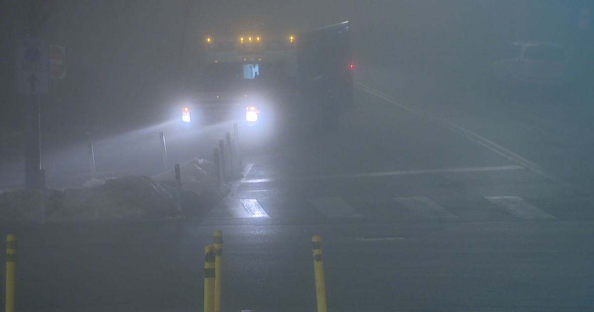
The National Weather Service issued a Dense Fog Advisory central and southern Minnesota, including the Twin Cities metro area, starting at 6 p.m. Wednesday and lasting until noon Thursday.
The real meat of the storm will move into the area early on Thursday.
The National Weather Service has issued winter storm warnings, watches and advisories for much of northwestern Minnesota, including Moorhead.
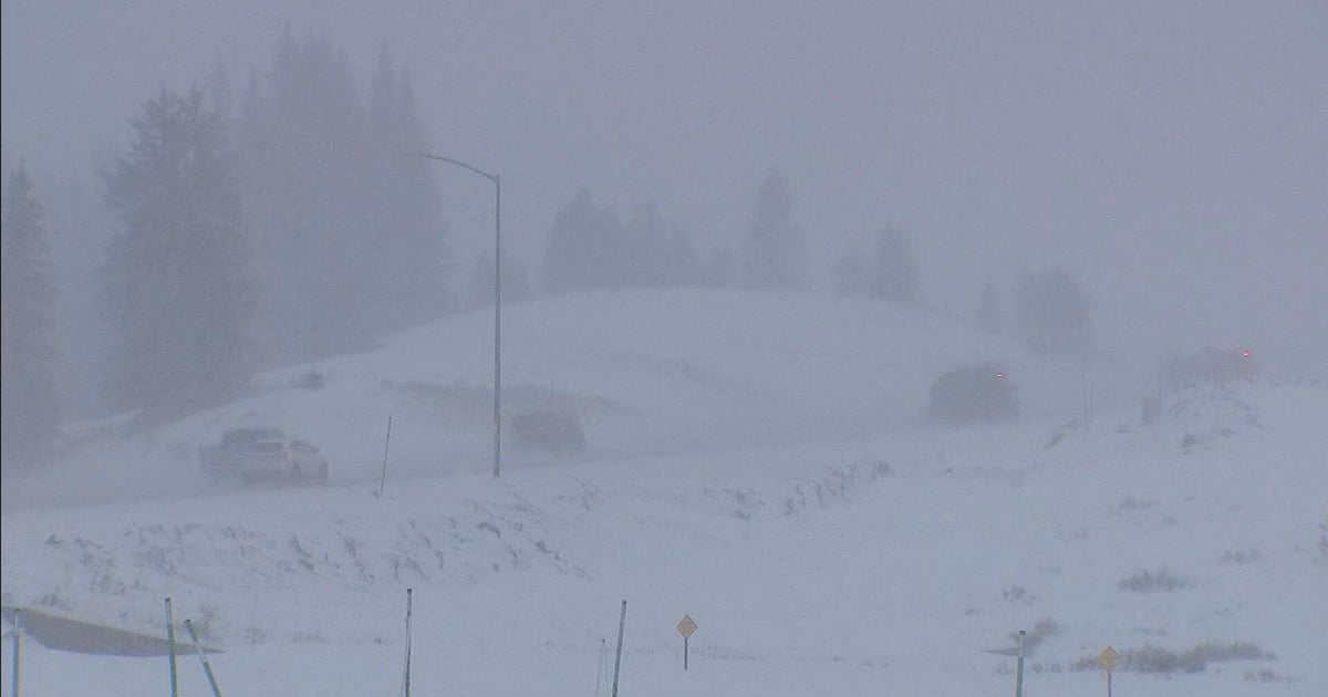
As much as five inches of snow is possible in northwestern Minnesota from this first round of snow, which will fall much of the day on Thursday.
The Twin Cities will likely see mostly rain on Thursday, with a high near 40. The rain should be pretty light overall, but could become a bit steadier on Thursday afternoon, WCCO-TV Meteorologist Augustyniak said.
The chance for accumulating freezing rain is greater in west-central Minnesota through Thursday morning, before the precipitation changes over to all rain. Those areas could see up to two-tenths of an inch of ice buildup.
A Break
The entire region should see a winter weather break on Thursday evening as the first round of winter weather moves out of the area. Then ...
Firday
In the metro area and in southern Minnesota, there's a potential for heavy rain and even a few thunderstorms.
Augustyniak doesn't believe the rain will lead to widespread flooding because the snow on the ground will act like a sponge to soak up most of the rain. There could be some localized street flooding, however, because of clogged storm drains and ice build-up.
It's still too early to know how much, if any, snow we'll get in the Twin Cities metro area from the second round of snow, Augustyniak said. It all depends on how quickly the rain changes over to snow when the cold air moves in.
If the rain changes to snow early in the day, we could see several inches of snow. If the precipitation remains rain through most of the day, we may not see any accumulating snow.
In northwestern Minnesota -- it's all snow. Up to another five inches for you, Augustyniak said, bringing your likely two-day storm total to 5-10 inches.
The winds will increase across the region Friday night as well.
New Year's Eve -- A Flash-Freeze?
In the metro area and in southern Minnesota, we could see a "flash-freeze" Friday night -- just as partiers are heading home from their New Year's Eve celebrations.
Augustyniak said temperatures Friday night will plummet quickly to near zero, which could cause the puddles of rain left on the road to freeze into solid ice by Saturday morning, making driving tricky.
MNDOT says they have been working 12 hour shifts since the blizzard and that will continue. They are still not done with cleanup, but their plows, salt and sand will be ready.
In Minneapolis, people can pick up free sand and salt for their residential areas. Locations are open 24 hours a day, and residents should bring their own pail and shovel. The sites are:
• 6036 Harriet Ave. S., on West 60th Street between Lyndale and Harriet
• 1809 Washington St. NE, at 18th and Jefferson
• E. 27th Street, just east of Longfellow Avenue near the Public Works gate
Looking Ahead
It's going to be cold on New Year's Day, with a high near 9 and flurries. Sunday looks dry, but cold still, with a high near 11.
As you're heading back to work next week, it won't be quite as chilly. Temperatures will be in the mid-20s for highs.
WCCO-TV's Chris Shaffer Reports
