Snow, Ice Cover Will Boost Great Lakes Levels
TRAVERSE CITY, Mich. (AP) — Water levels in the Great Lakes are expected to continue a steady recovery this year, courtesy of widespread ice cover that is slowing evaporation and snowfall that has approached record amounts in some cities, federal experts said Wednesday.
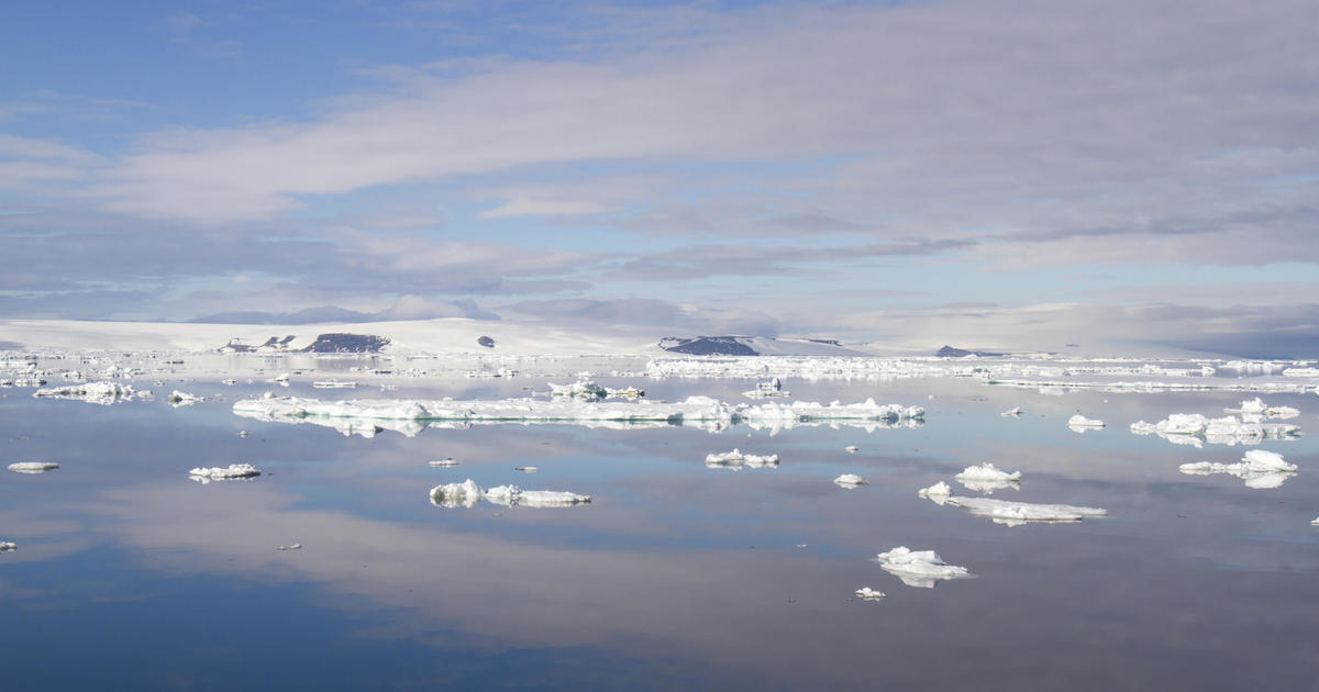
The siege of polar air that has gripped the region this winter has caused the most extensive freeze-over of the lakes since the record-setting year of 1979, when nearly 95 percent of their surface area solidified. On Tuesday, the ice cover reached its highest point since then — 91 percent, said George Leshkevich, a physical scientist with the federal Great Lakes Environmental Research Laboratory in Ann Arbor.
Meanwhile, the towering snowpack rimming the watershed will melt this spring and much of the water will flow into the lakes or the streams that feed them. The runoff is expected to be so bountiful that some areas will be in danger of flooding, a prospect that could be worsened by ice jams on swollen rivers.
"Any additional rainfall on top of that snowpack would add to that flood threat," said Keith Kompoltowicz, hydrology branch chief with the U.S. Army Corps of Engineers district office in Detroit. "We're certainly paying very close attention to the weather in the next few weeks."
Great Lakes levels dropped sharply in the late 1990s and have remained mostly below normal since. Scientists blame a warming climate, which promotes evaporation and limits ice cover, and occasional dry spells.
The drop-off was most severe on Lakes Michigan and Huron, which hydrologists consider one water body because they are connected and at the same height above sea level. They fell to the lowest point on record in January 2013, while the three other Great Lakes — Superior, Erie and Ontario — were well below average.
The prolonged slump hammered the shipping industry, forcing vessels to carry lighter loads to avoid scraping bottom in channels and ports. Marina owners lost money as slips were too shallow for boats to dock. Vegetation sprang up along waterfronts, frustrating hotel and cottage owners.
But the last 14 months have seen a long-awaited comeback, fueled by plentiful snow and rain. Superior and Michigan-Huron's seasonal rises were almost double their average gains in 2013.
And the signs continue pointing upward. The snow's water content is the highest in a decade on Lakes Superior, Michigan and Huron. The snowpack is the equivalent of 9.5 inches of water around Lake Superior. It holds 4 to 8 inches of water in the Huron-Michigan basin, 3.8 inches around Lake Ontario and 1.8 inches around Lake Erie.
Ice cover has prevented evaporation and could keep water temperatures cool enough to delay the next period of heavy water loss to the atmosphere, Leshkevich said.
A short-term forecast prepared by the Army Corps predicts water levels will continue rising for the next six months. Michigan-Huron are expected to be 9 to 14 inches higher than during that period in 2013 — although they'd still be 9 to 12 inches below their long-term average.
Superior is forecast to reach 13 inches higher than a year ago this spring and might edge above its long-term average for March. If so, it would be the first time the lake has topped its monthly average since 1998.
Lakes Erie and Ontario are expected to move above their long-term averages in the next few months but could dip below them as the summer wears on.
Despite the improving levels, Kompoltowicz cautioned it was too early to declare the lean times over.
"There's always a chance that beyond that six-month window, a return to drier conditions happens," he said.
(© Copyright 2014 The Associated Press. All Rights Reserved. This material may not be published, broadcast, rewritten or redistributed.)
