Showers roll into metro Wednesday, air quality alert issued for northeastern Minnesota

MINNEAPOLIS — Showers are expected to move into the Twin Cities Wednesday, while up north, officials issued an air quality alert due to wildfire smoke from Canada.
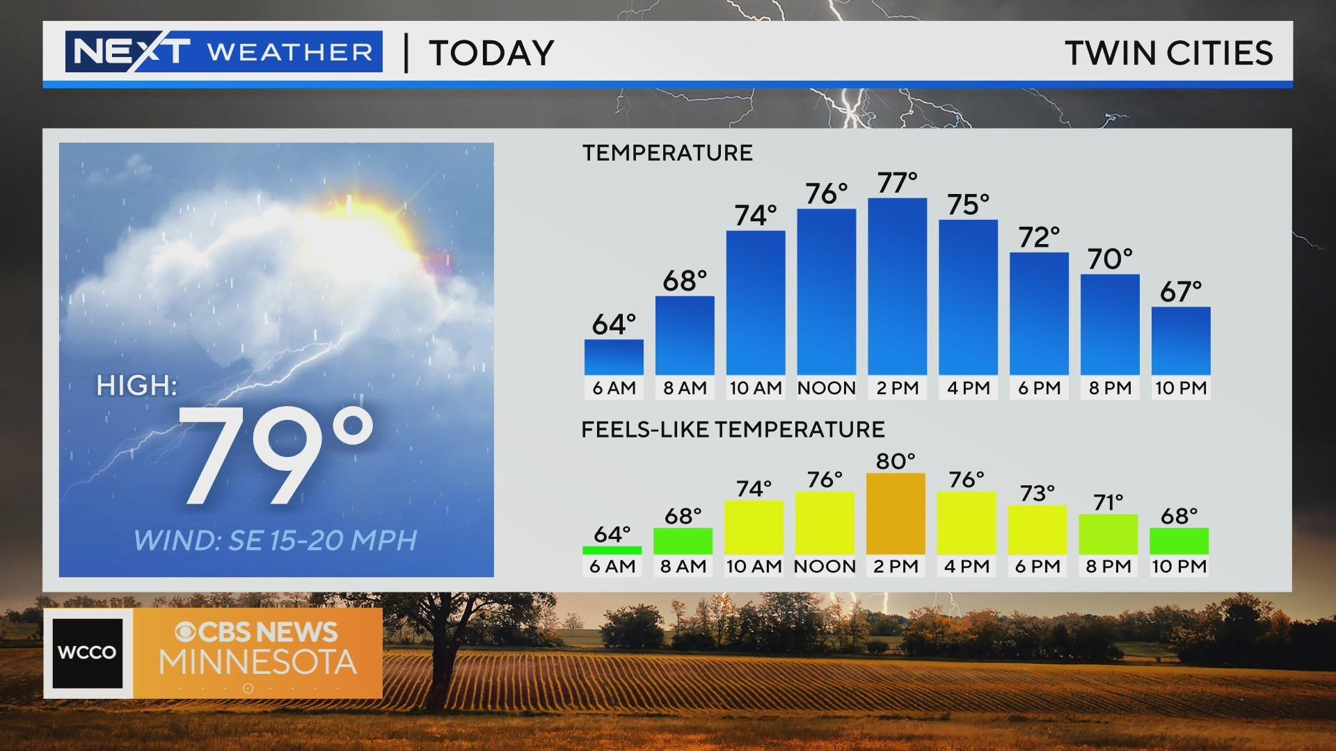
The next wave of energy shows up in the Twin Cities on Wednesday, bringing some storms along for the ride.
The forecast high is 79 degrees. Expect it to be dry until the afternoon, with showers projected to move in between dinner to just after sunset. Some may arrive as early as the evening commute.
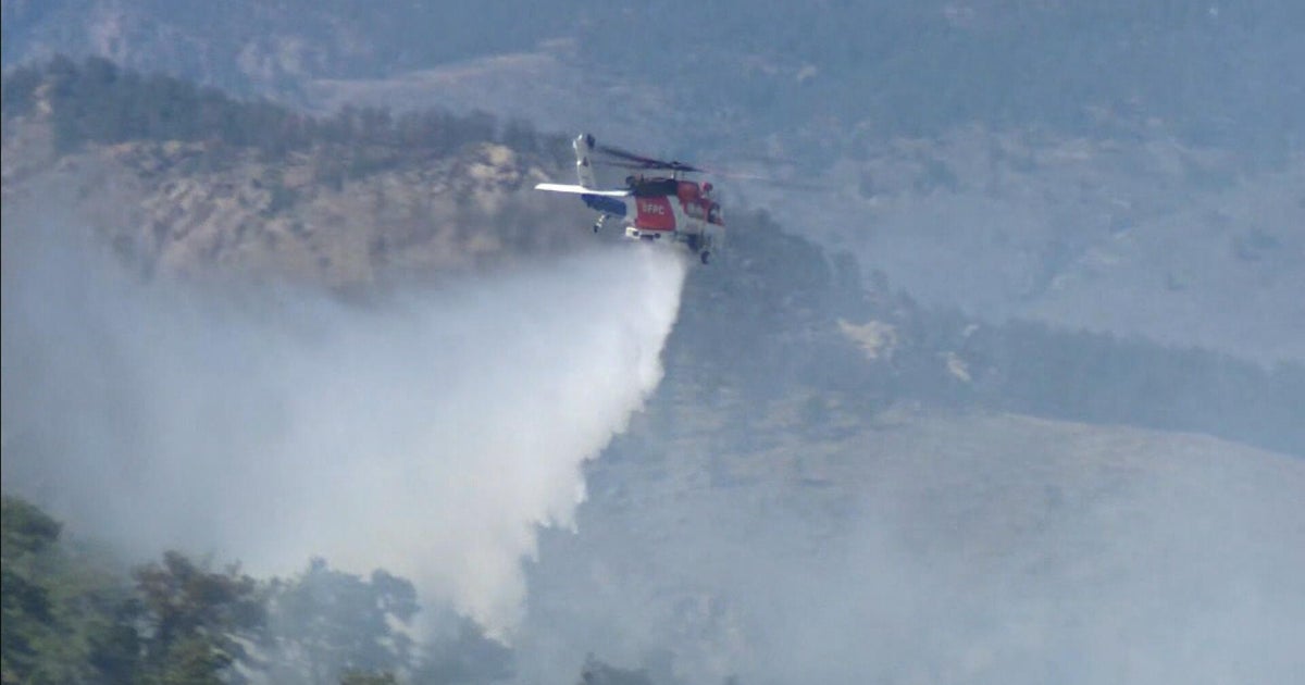
The Minnesota Pollution Control Agency on Wednesday morning issued an air quality alert for northeastern Minnesota due to wildfire smoke from Canada. The smoke is trapped over Lake Superior, and officials say sensitive groups should limit outdoor physical activities.
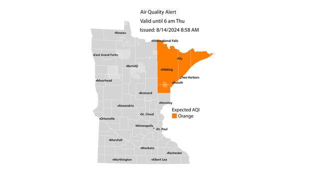
The affected areas include Two Harbors, Hibbing, Ely, Duluth and the tribal nations of Grand Portage and Fold du Lac. The alert expires at 6 a.m. on Thursday.
Rain and storms continue overnight on Thursday. There will be some dry time, but the threat of rain exists all day. Highs will retreat to the mid-70s. Rain totals look to be between 1 and 2 inches for most of Minnesota.
A few showers may show up on Friday to finish the week. It won't be that active, but there is enough to work with for a scattered shower.
How about another dry weekend? Expect both days to bring out the sun with temperatures back to the lower 80s.