Minnesota Weather: 2nd Wave Of Snow Could Dump 6 Inches On Twin Cities
MINNEAPOLIS (WCCO) -- After getting a quick burst of snow Wednesday evening, a bigger system is set to move in.
Meteorologist Chris Shaffer says this first round brought graupel – that snow with the consistency of Dippin' Dots -- to some folks in southern Minnesota. There was even some thundersnow reported southeast of Austin.
A Winter Storm Warning is in effect late Wednesday and most of Thursday for northern Minnesota, parts of the Twin Cities and much of Wisconsin.
The first wave didn't pack much of a wallop, and will be out of the Twin Cities by midnight. But the second wave, starting at the beginning of Thursday morning's commute, will be the main snowmaker.
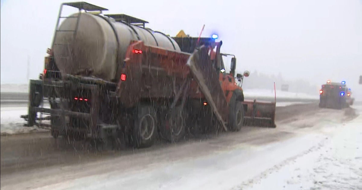
The snow will continue throughout Thursday, wrapping up by the evening commute – which will be some white-knuckle driving. Models have been pushing the heaviest snow farther southeast.
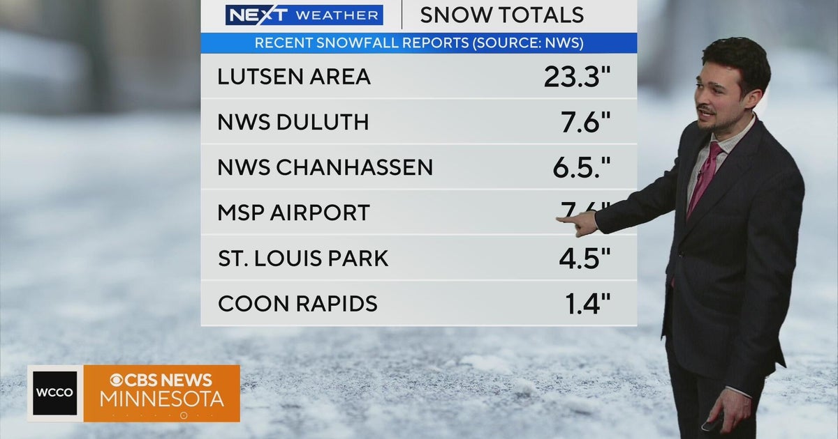
In terms of accumulation, models are all over the place. Some are forecasting 1 to 3 inches in the Twin Cities, while others are pushing things into the 6-inch range. Mankato and St. Cloud are expected to get about 4.5 inches.
With increased winds, parts of the state will experience white-out conditions. A Blizzard Warning is in effect for much of western and southwestern Minnesota. High winds will blow the light snow all over the place, making driving very hazardous.
And as winds pick up Thursday, the thermometer will start dropping us back into dangerous sub-zero territory. Feel-like temperatures in the metro will be below zero but mid-afternoon, bottoming out at minus-27 degrees early Friday morning. The Twin Cities will have it easy by comparison, with much of the state feeling like the mid-minus-30s, and close to minus-50 in the northwest corner of the state.
This arctic cold will carry on through the weekend, but no new big snow is on the horizon, save some flurries Saturday.
