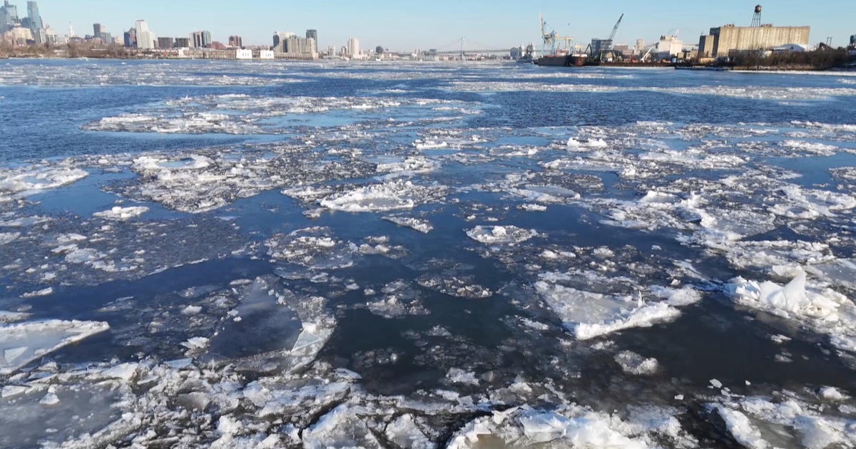
'Be Ready': NWS Warns Of Spring Ice Jams
CHANHASSEN, Minn. (WCCO) -- Flood season is one of the busiest times of the year for the National Weather Service.
Craig Schmidt is a Senior Service Hydrologist for the National Weather Service Twin Cities and he says that the biggest immediate concern is ice jams.
"Ice jam flooding is a big threat this year. We have a lot of very thick ice on the rivers. We are starting to get some water on top of that ice. We are starting to get some melting of that ice and it's going to start breaking up pretty quickly. We've already seen some rivers -- the Cotton Wood, Sand Creek -- have already had some pretty bad ice jam problems," Schmidt said.
He added, "We are going to see a lot of melting of that ice, and it's going to start breaking up. Once that starts happening, that ice starts to flow. It gets to a slow point in the river, it stops and then the water backs up. So we get flooding in places where people aren't used to seeing it. That's a big potential over the next week to 10 days we will be watching for."
Schmidt said if you live near an area to flood, be prepared.
"If you are anywhere near a flood plain, near a stream or a river, just be ready. Whether it's get sandbags, or be ready to evacuate should it come up fairly rapidly, just make whatever preparations you can make," Schmidt said.
The threat of ice dams is around our area for the next week to 10 days. After that, the main flooding concerns will start. Schmidt said the National Weather Service expects the peak snow runoff season to be the last week of March and the first week of April.
Schmidt also said the forecast over the next two to three weeks will be critical. "Warmer temperatures over a three-, four-, five-day period, would melt pretty much all of the snow and start the thaw, add rain on to that at the same time and you have the worst possible scenario," Schmidt said.
If you want to watch the levels at the river or creek nearest your house, head to the National Weather Service's website.
You can see the hydrographs on the site with predicted river levels.


