NEXT Weather: More rain Wednesday night, with snow and big cooldown expected later in week
MINNEAPOLIS -- Soggy conditions will give way to possible snow and a big cooldown later this week.
Another wave of rain and isolated thunder will roll through Minnesota Wednesday night. Temperatures will stay mild, with a low of 60 degrees.
Stronger storms are expected on Thursday, particularly in eastern Minnesota. High wind and hail are the main threats. Temperatures will start out mild and fall throughout the day.
Behind those storms, the wind picks up, and the temps fall like a rock after the cold frontal passage.
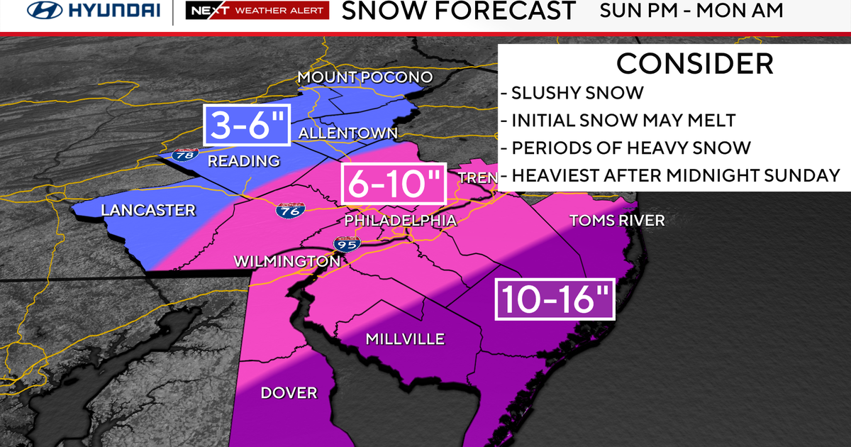
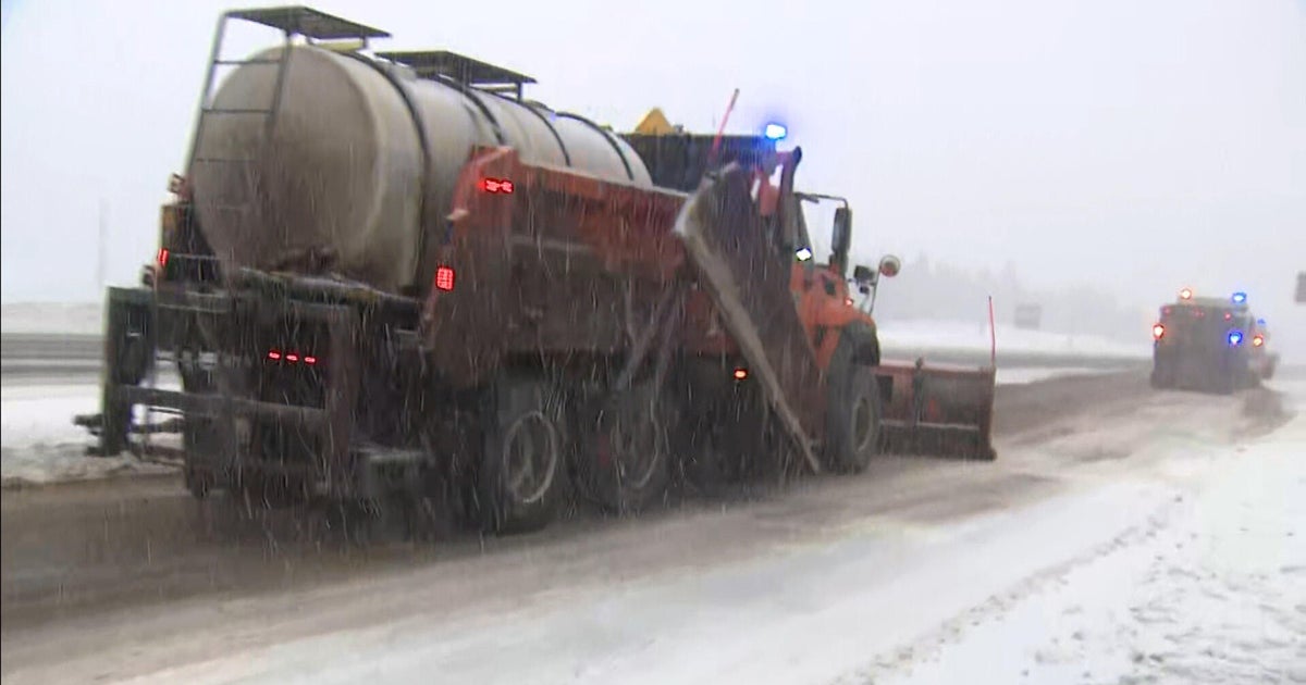
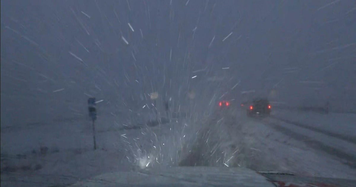
WCCO has issued a NEXT Weather Alert for northern Minnesota. That part of the state should see the heaviest snowfall, and snow showers are possible in the metro.
Northern and northwestern Minnesota are under a winter storm watch until Friday afternoon, with the latter also under a blizzard warning.
The cold will really take the focus Friday. Highs will be in the low 30s, and it will be breezy.
It stays bitterly cold this weekend. The winds will back off, but our highs will be locked in the low 30s.