NEXT Weather: Plowable snow and dangerous wind chills on the way
NEXT Weather factors:
- Plowable snow Wednesday
- Blowing snow Thursday
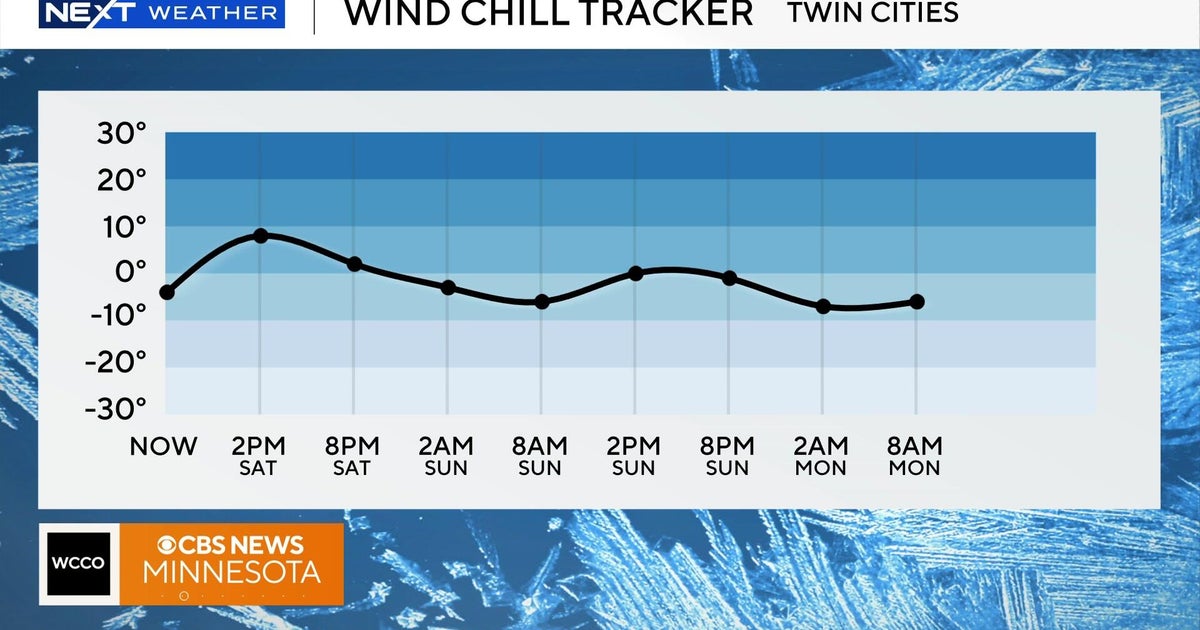
- Dangerously cold wind chills until Saturday
MINNEAPOLIS – A light snow system left Minnesota late Monday, but a much heftier system isn't far behind.
Tuesday will be cold and calm, with a high of 7 and a low of 4 below zero.
RELATED: Bitter cold expected to hit much of the U.S. just before Christmas
But our next storm arrives Wednesday, with the Twin Cities in a winter storm watch. In fact, the last three days of the work week will be NEXT Weather Alert days due to the snow and dangerous cold.
Timing of next snow system, dangerous cold
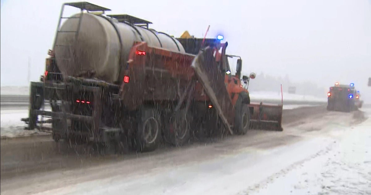
A snow system is expected to reach western Minnesota by Wednesday morning, possibly impacting the commute there, and is then expected to make its way to the Twin Cities by mid-morning. Snow will last until the late evening, with 4 to 8 inches possible.
On Thursday, strong northwestern winds will reach speeds of up to 50 mph. The snow will be done falling, but the fluffy snow will be blowing -- causing whiteout conditions in areas.
Friday will also bring blowing snow issues, and the strong wind will combine with the cold air to create dangerous wind chills. Expect a feel factor at times of 30 to 45 below zero.
Things start to calm down Saturday, and you can expect a peaceful Christmas Day Sunday.
