Next Weather: Rainy start to Wednesday; heat wave approaches
MINNEAPOLIS -- After enduring the hottest day so far this year in the Twin Cities, Wednesday will be far less oppressive.
Tuesday's high temperature reached 96 in the metro, which was just 2-degrees shy of tying the daily high-temp record of 98, set in 1987.
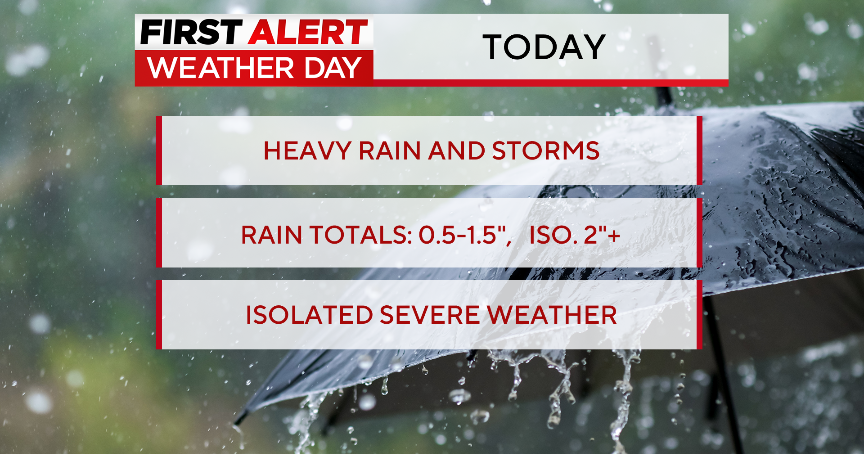
Rain and thunderstorms move into Minnesota overnight and into Wednesday morning, especially over south-central and southeastern Minnesota. There is a possibility of storms reforming along the cold front in the afternoon.
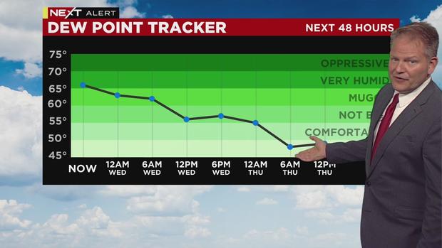
Wednesday will be cooler and much less humid in the metro, with a forecasted high of 78 and a low of 64 -- both of which are near average for this time of year.
Thursday will usher in strong winds, and possible fire danger. It will be a mostly sunny day with a high of 85.
Friday looks nice and sunny, also with a high in the mid-80s. The heat will return Saturday, but without the humidity.
Sunday through next Tuesday could be brutal with heat and humidity. There are no storms in sight under the influence of the high pressure system to come, but we will certainly get our sweat on.
