Severe storms rock Twin Cities Monday night; tens of thousands without power


MINNEAPOLIS — A severe thunderstorm ripped through southern Minnesota on Monday night, leaving tens of thousands without power.
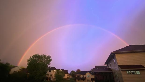
The National Weather Service said the system passed through the Waconia area in the west metro just before 7 p.m. with wind speeds at around 35 mph, leading to "multiple reports of downed trees and power outages."
The warning covered Anoka, Chisago, Dakota, Hennepin, Isanti, Pierce, Polk, Ramsey, St. Croix and Washington counties.
As of 10:50 p.m., Xcel Energy says it's dealing with 1,410 outage orders affecting more than 79,000 customers.
The system also caused temperatures to plummet by almost 20 degrees at Minneapolis-St. Paul International Airport in just a matter of minutes.
That storm is one of two expected to hit the metro on Monday, including another one overnight into Tuesday. Flash flooding is also possible.
This line of storms should exit western Wisconsin by 11 p.m., but storms are still possible into early Tuesday.
Minnesota State Fair in storm's path
Weather sirens rang out around the metro at about 7 p.m. Visitors and vendors at the Minnesota State Fair were warned to prepare for "heavy rain, frequent lightning and strong winds."
Earlier in the evening, fair officials postponed the evening's Grandstand performance before canceling it altogether. All free stage entertainment was also canceled and all Mighty Midway and Kidway rides and games closed early for the night.
Excessive heat warning precedes storm
Temperatures broke into the 90s on Monday, marking the seventh time this year. An excessive heat warning and heat advisory expired at 8 p.m. for southeastern and south-central Minnesota, including the metro. The expiration came as temps dramatically dropped due to the first storm system.
A few isolated showers are also possible on Tuesday, which will be slightly less hot and humid.
Highs will be in the lower 80s and upper 70s for the rest of the week.
Besides the possibility of a few storms on Thursday, the forecast looks dry.
Labor Day weekend is trending to be quite comfortable for outdoor activities, with highs in the 70s.