MN Braces For Late-Arriving Winter Blast
WEB EXTRAS: Latest Forecast | School Delays | Traffic Maps | Weather Advisories | Winter Resources
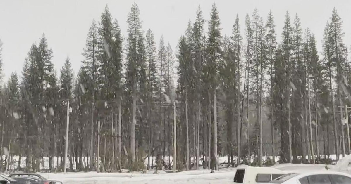
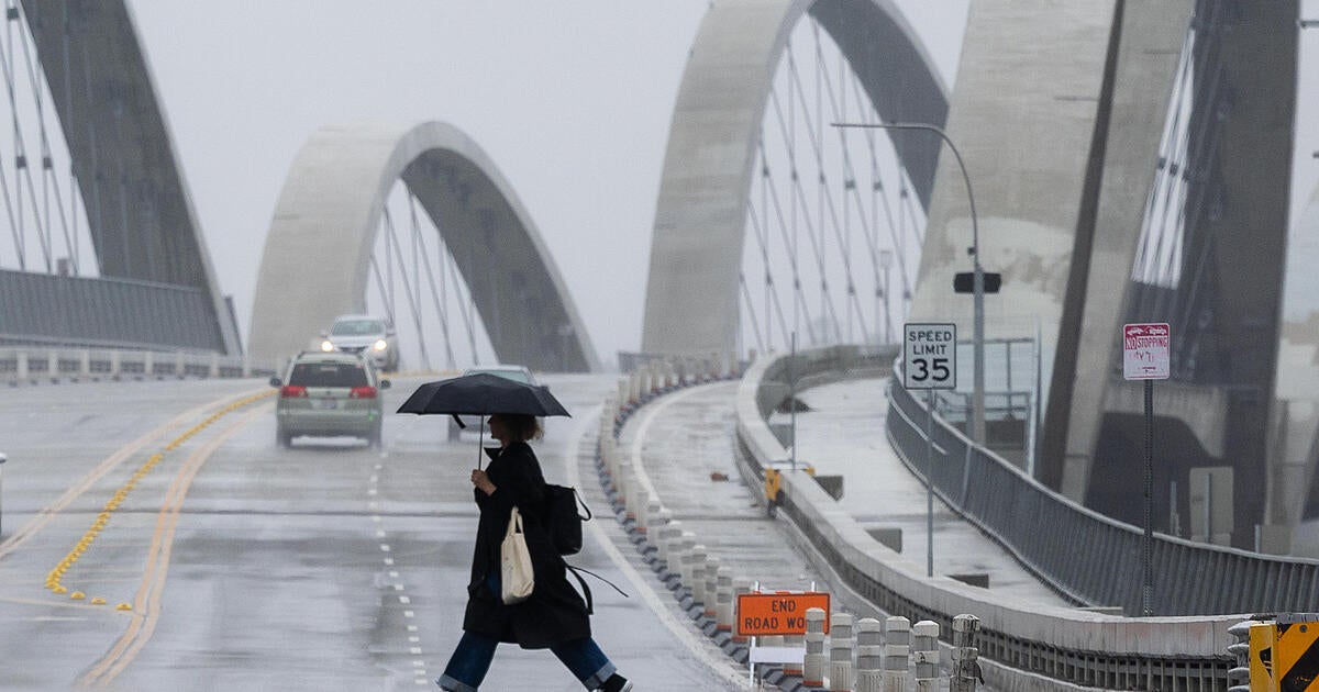
MINNEAPOLIS (WCCO) -- A strong winter storm is racing across the plains and bringing a mixed bag of precipitation across Minnesota and western Wisconsin. We have seen it all with heavy rain to the south, areas of freezing rain and snow that is really starting to pile up north of the Twin Cities.
WCCO Chief Meteorologist Chris Shaffer says the greatest accumulation will occur along a line from Alexandria through Brainerd, Mora and toward Duluth. It will be a heavy, wet snow causing slick spots on area roads.
"At this point I am more concerned about the areas dealing with freezing rain and ice over the heavy snowfall towns," said Shaffer. "I would much rather this be an all snow event."
GALLERY: Your Wintry Snow Photos
Shaffer noted the heavy rain south and into parts of the metro significantly cut down on the snow totals.
"We are getting a great deal of moisture," said Shaffer. "It's just not in the form of snow."
Drivers can expect a longer commute Wednesday morning as the storm changes to all snow and slowly withdraws to the east. Thursday will be much calmer with a few snow showers possible mainly north of the Twin Cities.
Longer range models show a good chance of temps warming into the 40s next week with a shot at 50s by the second week of March.
The storm will be a distant memory at that time. For now, however, it is a dangerous reality in parts of the state.
Watch Aristea Brady's Report On Slippery Roads
