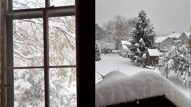
Minnesotans, enjoy the fall warmth. 4 years ago, we were digging out of a snowstorm.
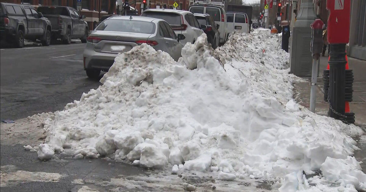
MINNEAPOLIS — Four years ago, almost to the day, Minnesotans were digging out of record-snowfall — a stark difference to the forecasted high temperatures in the low 80s on Monday.
The Minnesota Department of Natural Resources says there were widespread accumulations of 6 to 9 inches across parts of the state on Oct. 20, 2020. Snow started falling in southwestern and western parts of the state near sunrise and reached as far north as Duluth by mid-afternoon.
Bands of moderate to heavy snow covered around 60% of the state from the middle of the day until around sunset, according to the DNR.
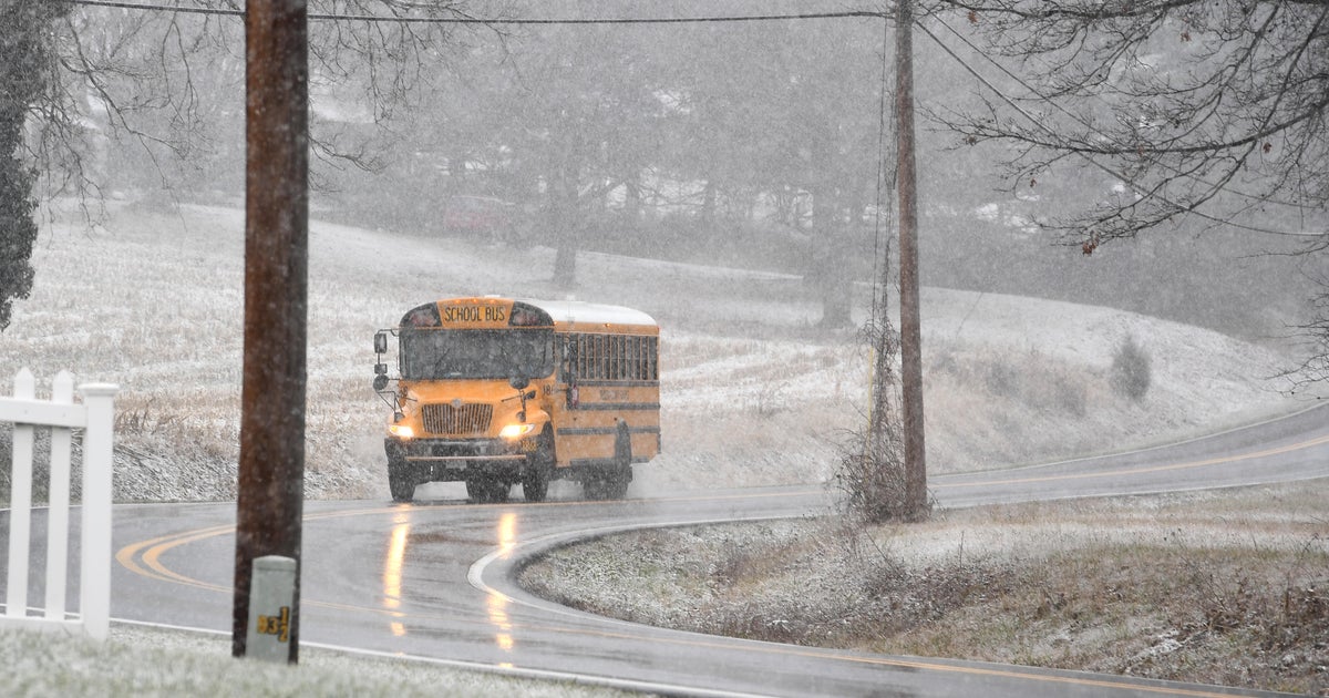
The large wet flakes knocked out power for more than 33,000 residents, according to Xcel Energy, and the Minnesota State Patrol reported more than 1,100 crashes and spinouts.
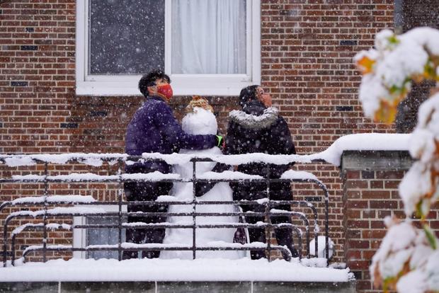
At the time, winter lovers like 8-year-old Mason, welcomed the early snowfall.
"I think it's awesome," he said.
Kids were taking in the fresh powder by sledding at Power Hill Park in Chanhassen and skiers and snowboarders were riding down Wild Mountain in Taylors Falls.
Others, like Kerri Hexum, of Excelsior, were less than enthused.
"It's so pretty, but it's too early. Half the boats are still in the water," she said, referring to the dozens of watercrafts still in Lake Minnetonka.
Many Minnesotans were caught off guard and some were unprepared.
"I was trying to get somebody to actually rake up all the leaves and that was not happening," Thom Jones, of Richfield, said. "It was hard to find somebody and before I knew it, it was snowing."
The DNR says it was the second-largest snowfall in October, following the 1991 Halloween blizzard.
In the past 10 years, the first snowfall of the year has arrived in October four times and November six times, with an average date of Nov. 5, according to Pete Boulay with Minnesota's State Climatology Office.
This year, Minnesotans have been enjoying a dry, warm fall. Meteorologist Adam Del Rosso says this fall, to date, has been the warmest and driest on record with average temps of just over 65 degrees and less than a 10th of an inch of precipitation.
A front moving through Tuesday may bring a few rain showers, but most will land up north. There's also a chance for light showers on Thursday, but no snowflakes forecasted in the next week.
