Minnesota Weather: Severe Weather Threat Ends For Southeastern Minnesota
STAY INFORMED: Weather App | Live Radar | More Weather Resources
UPDATE (6:45 p.m.): The National Weather Service says the threat for severe weather has ended across eastern Minnesota and western Wisconsin.
In the wake of the cold front, patchy drizzle is expected to fall across central Minnesota late Monday night. Tuesday looks to be sunny with temperatures in the mid-60s.
UPDATE (6:30 p.m.): A severe thunderstorm watch remains in effect for western Wisconsin and a few counties in extreme southeastern Minnesota.
The storm system, which prompted several thunderstorm and tornado warnings early Monday evening, washed over the area, bringing much-needed rain. One WCCO Weather Watcher in Bethel reported receiving nearly 4 inches of rain. Impressive totals were also recorded in Rock Creek (4.2 inches) and Grantsburg (3.4 inches).
Following the storms, a cooldown is coming. Meteorologist Chris Shaffer says overnight lows will drop into the 50s, ushering in a day of sunshine and temperatures in the mid-60s on Tuesday.
UPDATE (6:15 p.m.): The tornado warning for Buffalo County in western Wisconsin continues until 6:30 p.m.
The National Weather Service says a tornado was reported on the ground. The warning area includes the cities of Strum and Osseo, Wisconsin.
UPDATE (5:50 p.m.): A tornado warning is in effect for Buffalo County in western Wisconsin until 6:15 p.m.
Forecasters say radar has indicated rotation in a line of storms moving northeast at 50 mph toward Osseo, Wisconsin. The storm system is also capable of producing straight line winds.
Residents in the area are advised to seek shelter.
UPDATE (5:30 p.m.): Much of southeastern Minnesota remains under a severe thunderstorm watch until 10 p.m. as a cold front moves east toward Wisconsin. The Twin Cities is no longer in the watch area.
The cold front has already prompted several severe thunderstorm and tornado warnings in Minnesota and western Wisconsin. So far, the tornadoes have only been radar-indicated. There have been no reports of twisters touching the ground.
WCCO-TV Weather Watchers are reporting that the storm system dumped much-needed rain across Minnesota. Many reported rain totals over 3 inches.
UPDATE (5:17 p.m.) Forecasters say tornado warnings remain in effect for Bayfield, Douglas, Saywer, and Washburn counties in western Wisconsin until 5:30 p.m.
UPDATE (5:15 p.m.) A tornado watch has been issued for counties in northern Wisconsin until 1 a.m. The area includes Spooner, Hayward and Ashland.
UPDATE (5:04 p.m.): A tornado warning is in effect for Fillmore County until 5:30 p.m. Forecasters say the radar-indicated tornadic system is moving northeast toward Greenleafton, Fountain and Preston.
Residents in the warning area are advised to take cover in a basement or an interior room.
UPDATE (5 p.m.): Tornado warnings are now in effect for Washburn, Bayfield, Douglas, and Saywer counties in western Wisconsin. The warnings are set to last until 5:30 p.m.
According to the National Weather Service, radar has indicated rotation over the city of Minong. Other threats include damaging winds and pea-sized hail.
Residents in the warning area are advised to take cover in a basement or an interior room.
UPDATE (4:45 p.m.): Tornado warnings have been issued for Pierce, Dunn and Pepin counties in western Wisconsin until 5:15 p.m.
UPDATE (4:30 p.m.) Severe thunderstorm warnings have been issued for Fillmore, Mower, Olmsted, Wabasha, and Winona counties until 5:15 p.m.
The National Weather Service says a line of severe storms, extending from Spring Valley to Rochester, is moving northeast at about 35 mph.
Threats include 60 mph wind gusts and nickel-sized hail. Isolated tornadoes are also possible.
UPDATE (4 p.m.): A severe thunderstorm warning has been issued for Dodge, Fillmore, Mower and Olmsted counties until 4:30 p.m.
The National Weather Service says the severe thunderstorm was spotted near Autin and is moving northeast toward Rochester at 45 mph.
UPDATE (2:30 p.m.): A severe thunderstorm watch has been issued for much of southeastern Minnesota and western Wisconsin until 10 p.m. The watch area includes about half of the Twin Cities metro area.
The Minnesota counties affected by the watch are Dakota, Dodge, Fillmore, Freeborn, Goodhue, Houston, Mower, Olmsted, Rice, Steele, Wabasha, Waseca, Washington, and Winona.
According to the National Weather Service, a line of storms is expected to wash over southeastern Minnesota through the mid-afternoon and evening. Severe storms could develop, threatening damaging winds and heavy downpours that could produce localized street flooding.
Hail and isolated tornadoes are possible, although forecasters say they are unlikely to develop.
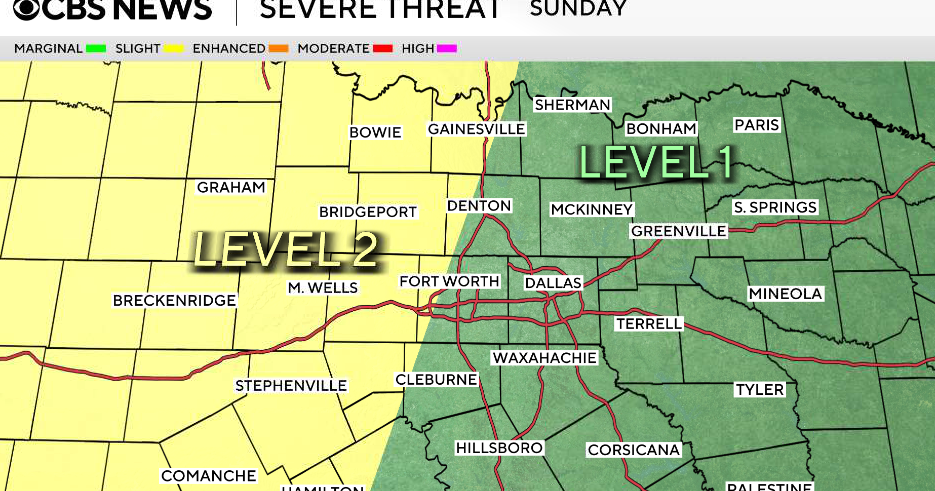
UPDATE (1 p.m.): Meteorologist Lisa Meadows shared a weather graphic showing where the severe weather threat is highest. Parts of southeastern Minnesota, including Rochester, are in the highlighted area.
UPDATE (11:30 a.m.): Meadows says it's a "weather aware day."
Storms should fire up midday in Iowa and Missouri and move into southeast Minnesota and Wisconsin in the afternoon and evening.
WATCH: CBSN Minnesota will have weather updates at the top of the hour starting at 1 p.m.
Some of these, initially, could be supercells with a little bit of hail, but damaging winds are the main threat and we can't rule out a few tornadoes.
Meadows says we should be done by Tuesday and have a dry and seasonable rest of the week.
MINNEAPOLIS (WCCO) -- Much of Minnesota is in for a good soaking Monday morning, and severe storms are possible for parts in the afternoon hours.
WCCO Meteorologist Katie Steiner said a line of storms stretching from southern to northern Minnesota is moving eastward through the state. Rain will likely reach the Twin Cities by 10 a.m.
There's a marginal threat for severe weather in eastern Minnesota once a second system makes its way there, likely between 1 p.m. and 4 p.m. The risk is slightly higher in western Wisconsin, where there will be a chance for tornadoes to develop.
One-to-two inches of badly-needed rain will likely come from Monday's storms, with the most rainfall likely in far-northern Minnesota, which is the state's most parched region by far.
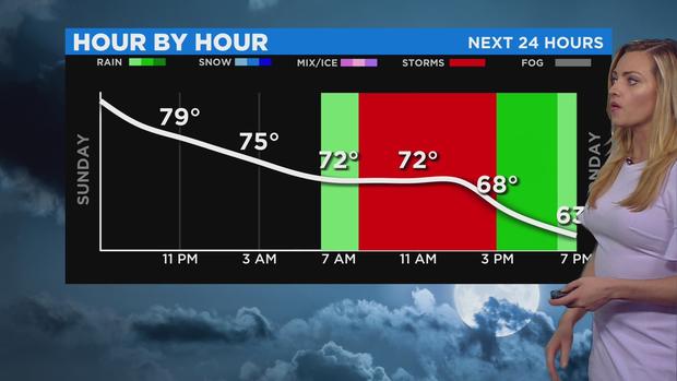
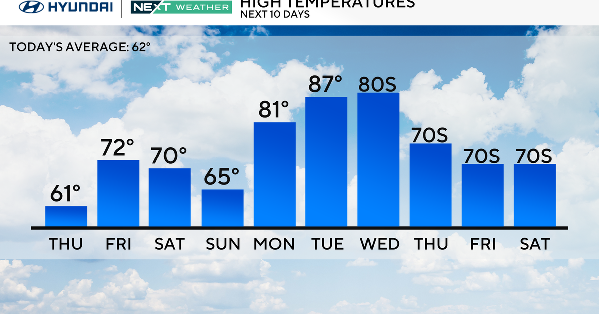
Temperatures will hover in the 70s before dropping to the low 60s in the evening. Dew points will also drop down to a comfortable level by Tuesday. A stretch of cool, crisp weather begins after that.
Minnesota will have dry skies Tuesday through the weekend, with next week looking drier and cooler.
