Second round of Tuesday storms brings severe weather to parts of Minnesota
MINNEAPOLIS — Now that morning storms have passed in northern Minnesota, the state is prepping for a second round that could bring widespread severe weather.
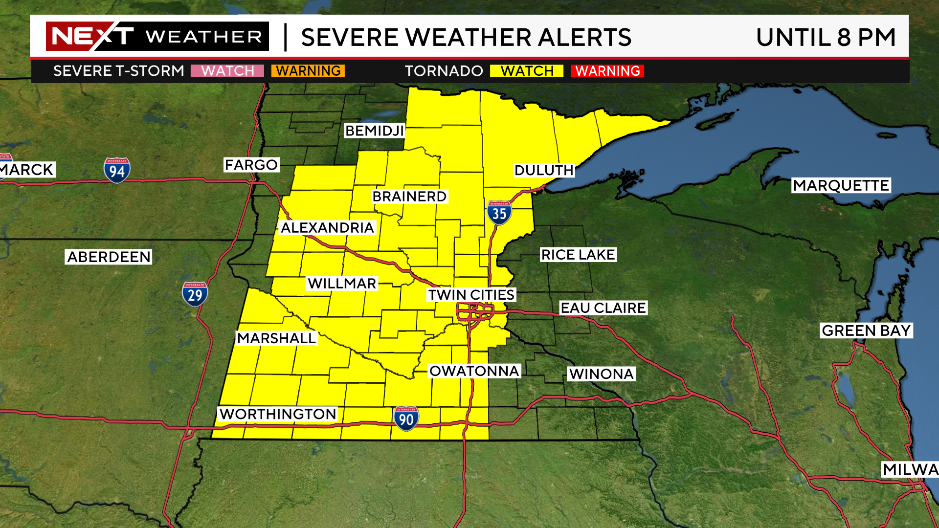
WCCO is in a NEXT Weather Alert due to the threat of severe storms. A tornado watch has also been issued for a majority of the state — spanning from northern Minnesota to the Iowa border. The watch will be in effect until 8 p.m.
The second round of storms is developing out west. A line of storms stretching across the state from north to south is expected to move east, hitting the metro right around the evening commute.
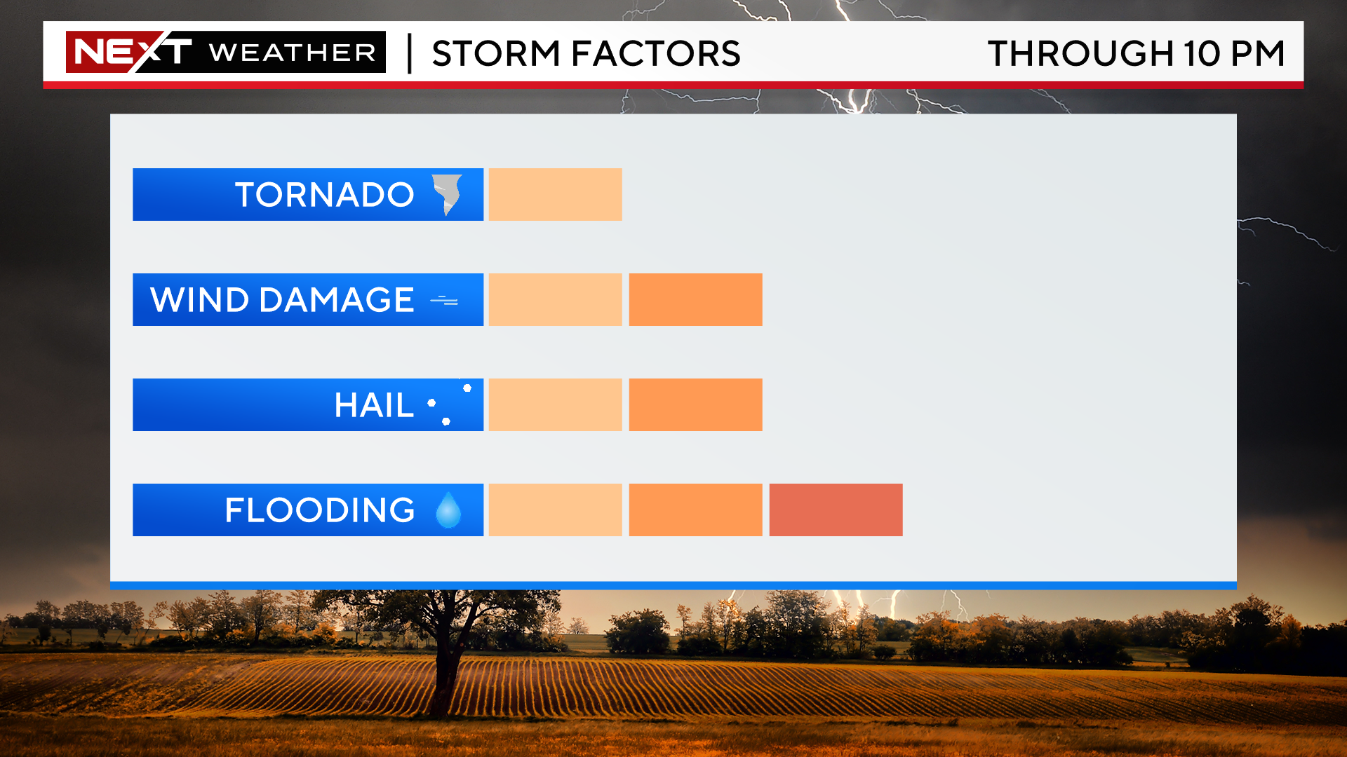
The main threats are wind and hail, although WCCO meteorologist Chris Shaffer says flooding and tornadoes cannot be ruled out.
The St. Louis County Sheriff's Office confirmed a tornado touchdown in Cotton, about 36 miles north of Duluth.
The storms will stick around into the night before moving into western Wisconsin, likely around 10 p.m. There is a slight risk of severe weather with this line, and some roads near Henderson are closed due to high water.
Things will cool to the lower 70s on Wednesday, then warm up a bit on Thursday and even more on Friday.
Wednesday should be mainly dry, but there will be a chance for showers every other day for the rest of the week, and Saturday could bring more storms.


