Wild storm system exits Minnesota, ushering in cooler Tuesday temps


MINNEAPOLIS — After a batch of early storms, Tuesday will be noticeably cooler in the Twin Cities.
A system of severe weather pushed east through the metro in the morning hours, bringing heavy rain and strong winds.
As of 9 p.m., Xcel Energy says it has hundreds of crew members working to repair outages impacting more than 34,000 customers in southern Minnesota and western Wisconsin.
We'll dry out in the afternoon and highs will top out around 80.
Wednesday will begin with fog, then turn into a nice day with sunshine and a high near 80. Thursday will be cooler, with highs in the 70s and isolated storms.
Friday will bring less humidity and dry weather, kicking off what looks like a really nice Labor Day weekend. Temperatures should top out in the 70s with plenty of sunshine.
Severe weather, extreme heat on Monday
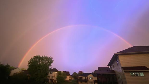
Monday brought both excessive heat and severe storms across Minnesota.
Temperatures broke into the 90s on Monday, marking the seventh time this year, and heat indices exceeded 100.
Severe thunderstorms ripped through the Twin Cities and southern Minnesota on Monday night, leaving tens of thousands without power.
The Minnesota State Fair was in the storm's path, causing fair officials to postpone the evening's Grandstand performance before canceling it altogether. All free stage entertainment was also canceled and all Mighty Midway and Kidway rides and games closed early for the night.