Wednesday kicks off dry, comfy stretch before sweaty weekend

MINNEAPOLIS — Isolated showers will move out of Minnesota on Tuesday night and it will get less humid for the next few days.
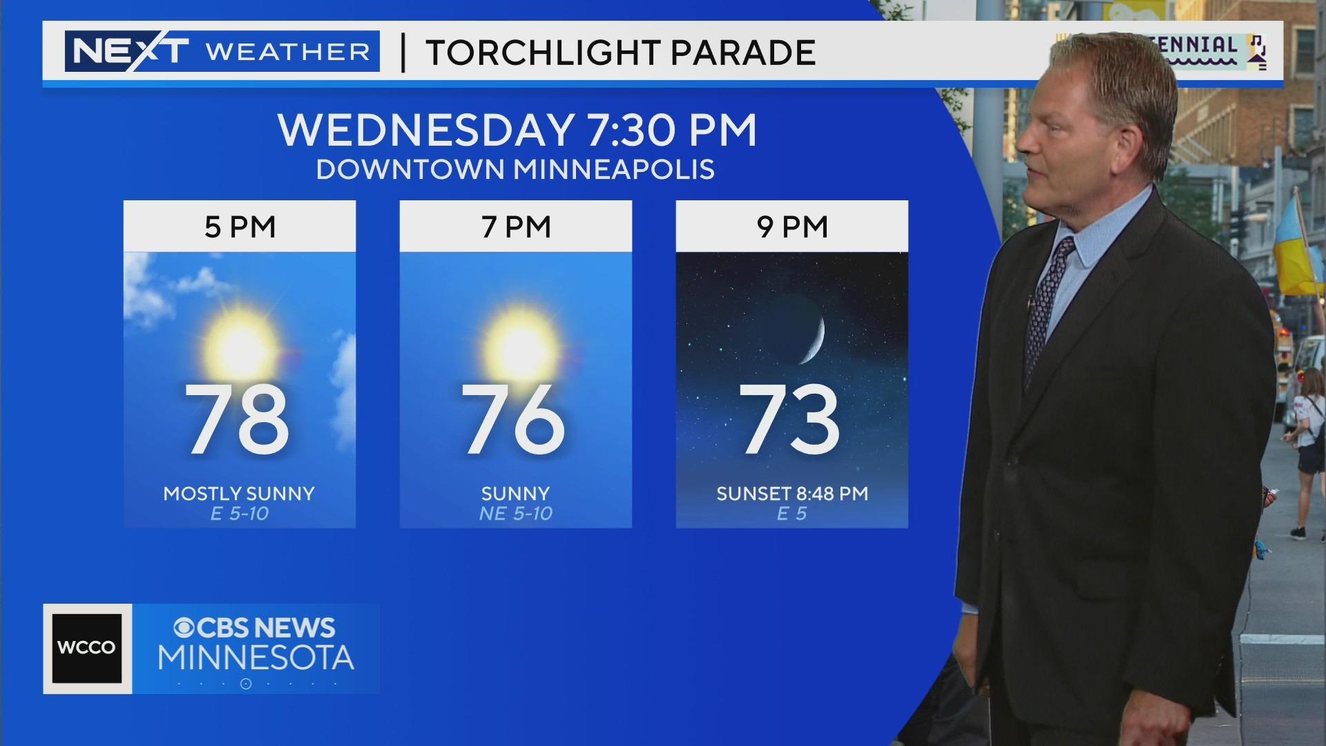
Wednesday will be the most comfortable day of the week with highs around 80 degrees and plenty of sunshine.
The Twin Cities will enjoy several dry days in a row with highs in the low 80s until Friday, when temps and dew points start to rise.
Saturday looks hot, humid and sunny, and the metro's next best chance of rain arrives late Sunday into Monday. It will be hot and humid next week.