Minnesota Weather: Light Snow To Fall Across State In Quick Thursday Storm
MINNEAPOLIS (WCCO) -- More snow is coming to Minnesota, but so is some more warmth.
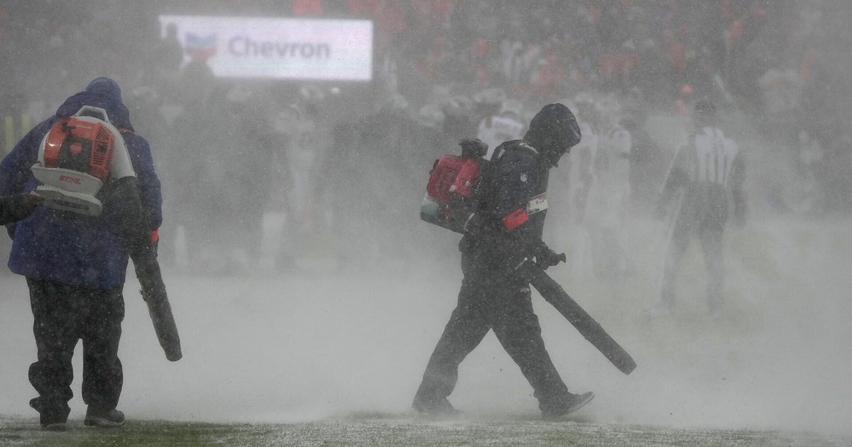
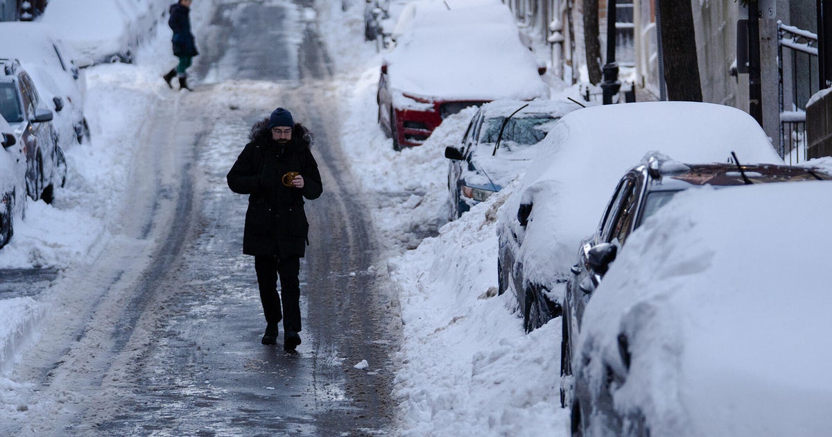
Minneapolis set a daily record Tuesday for snowfall after 5.5 inches fell. Another storm system is coming Thursday, according to meteorologist Chris Shaffer, but only light snow is expected.
RELATED: Download The WCCO Weather App
A cold front will start racing across Minnesota early Thursday morning, but there isn't a whole lot of moisture for it to work with, and it will move so fast there won't be enough time for snow to really pile up anywhere.
Flakes will start falling in western Minnesota by about 7 a.m., and will arrive in the Twin Cities by late morning -- but it will be gone by late afternoon.
There may also be a break in the clouds and resulting sunshine by the late afternoon rush hour, but even a little snowfall will be enough to make the commute a little bit hair-raising.
RELATED: NWS Launches New Winter Weather Warning For Snow Squalls
Just like Tuesday's storm, it will move diagonally from southwest to northeast, but only depositing a total of 1 to 2 inches in most areas.
Sunshine will return Friday, helping to melt that snow from most highways and side streets, but the high again remains in the mid-30s.
We'll break into the 40s Saturday, but rain showers are possible. Sunday will be a bit cooler and breezy.
High temperatures will hang in the upper 30s for most of next week as well, but some weather models point to a warm-up into the 50s late next week.
