Storms move out; Sunshine and lower humidity make for a #Top10WxDay on Friday


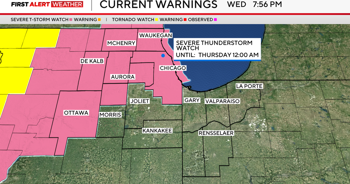
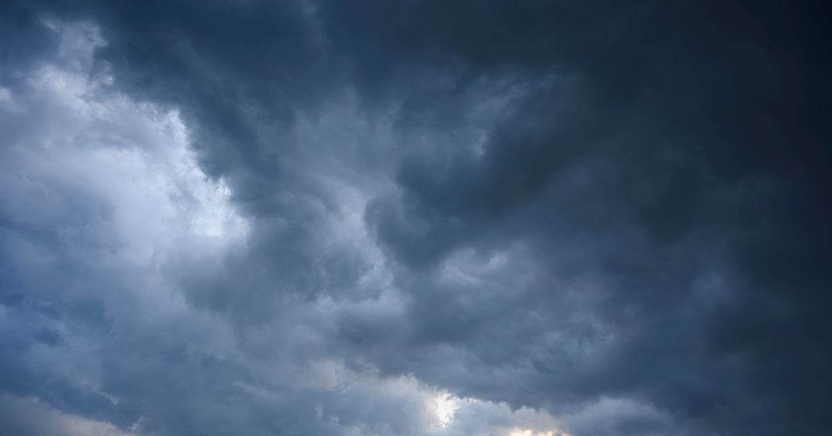
MINNEAPOLIS — A NEXT Weather Alert is in effect for the Twin Cities and greater Minnesota Thursday afternoon and evening, with storms impacting the Minnesota State Fair and air travel in the metro area.
As of 4 p.m., the University of Minnesota confirmed that the Gophers' football home opener would be delayed until 8 p.m. because of the storms.
The Minneapolis-St. Paul International Airport was also under a ground stop late Thursday afternoon. The Minnesota State Fair also temporarily closed its gates as the heaviest of the storms rolled through. As of 5:25 p.m., the admissions gates had reopened, but guests were asked to be cautious of potential rain and lightning threats that could continue in the evening.
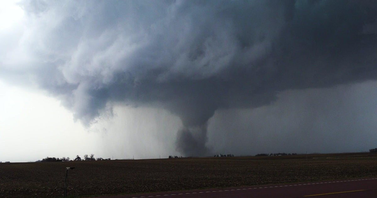
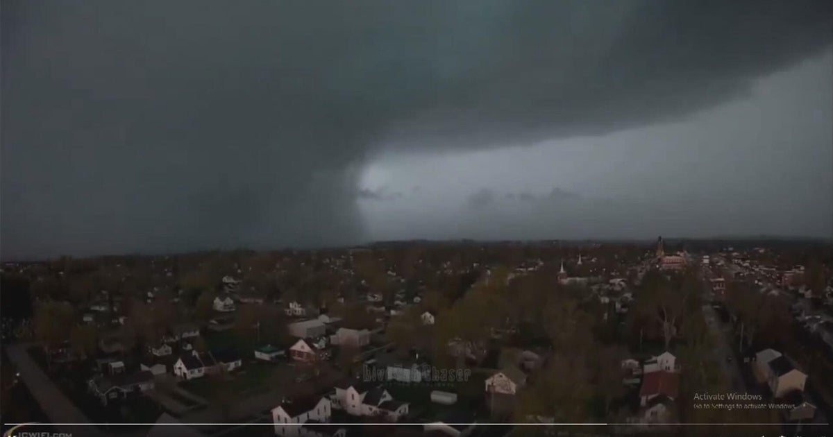
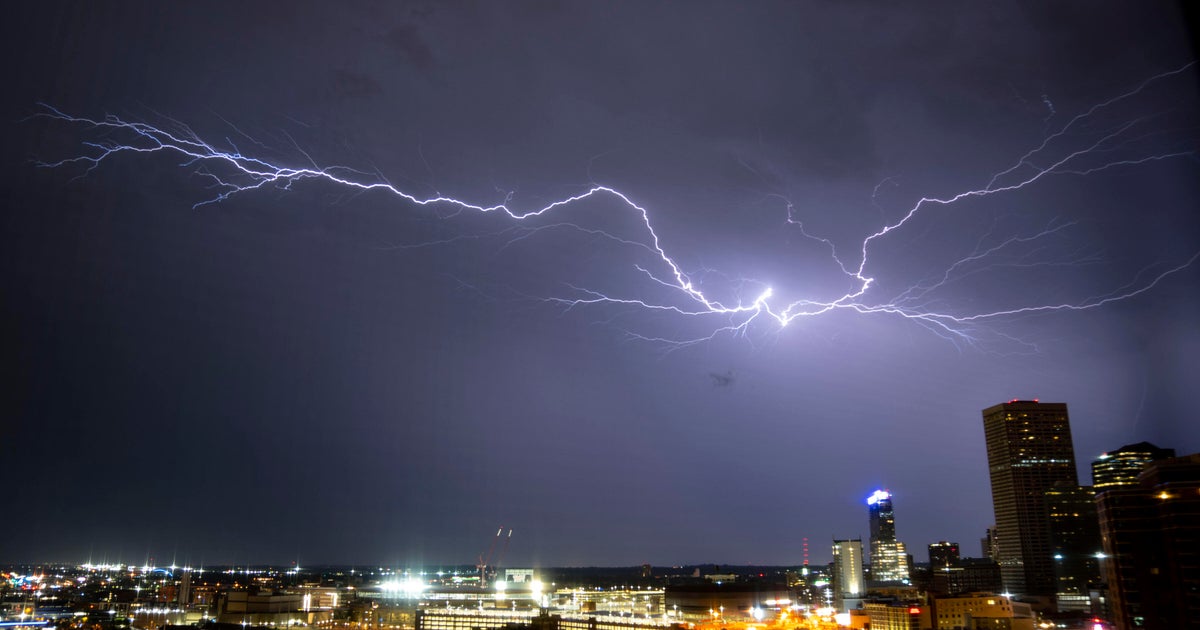
The National Weather Service had issued a number of tornado warnings and watches — all of which have expired as of 8:30 p.m.
Meanwhile, a number of counties in the Twin Cities metro area were under severe thunderstorm warnings, including Anoka, Carver, Dakota, Hennepin, Ramsey and Scott.
Interactive Weather Radar
State fair officials warned crowds of "heavy rain, lightning, strong winds (50-60 mph)," and added fairgoers and vendors should be prepared to initiate emergency weather procedures. Fairgoers were seen heading to shelters as the storms rolled in, as attractions like the Giant Slide were shut down temporarily.
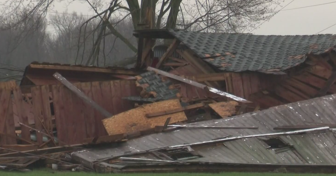
Officials also reported a suspected tornado touched down east of Isanti around 5 p.m. and Baldwin, Wisconsin around 6:20 p.m.
Xcel Energy was reporting more than 25,000 customers without power, as of 8:30 p.m.
The humidity will drop behind the storm system, leaving the metro with a stretch of really comfortable days. Friday will be in the upper 70s, and will be a #Top10WxDay. Temps on Saturday could be in the lower 80s.
Slightly cooler air will move in on Sunday and Labor Day, bringing high temps down in the lower to mid-70s — a great way to wrap up meteorological summer. It could even be another #Top10WxDay.
Early next week appears to be dry and slowly warming closer to average, with possibly one of the best stretches of weather the metro has seen in some time.