What's behind Minnesota's recent streak of fog?
MINNEAPOLIS — Fog forms when the temperature cools to the dew point.
This causes condensation and forms a cloud at the ground. This weekend was unique in that there was the perfect setup for two different types of fog.
First, there was advection fog, which forms when a cold land surface mixes with a warm, moist air mass. On Saturday, melting snow caused by the rain cooled a warm air mass to saturation, causing the fog.
Also on Saturday, there was a break in the clouds that allowed for radiation fog. This type of fog happens when the sky is clear, temperatures cool to saturation and you have weak winds which don't mix up the atmosphere, so it doesn't clear out the fog.
The mix of conditions over the weekend allowed the fog to stick around into Monday.
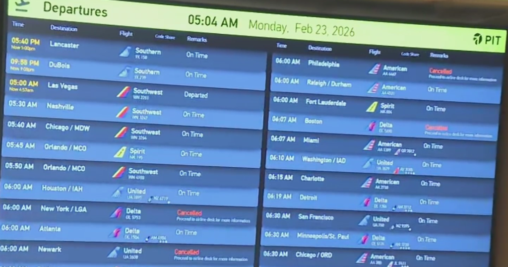
Between Sunday and Monday, Minneapolis-St. Paul International Airport recorded around 20 hours of visibility of half a mile or less. That's the fifth time on record that's happened.
The fog is expected to clear up Monday night with cold air coming in and wind shifting out of the north.

