Drier, warmer end to week after wettest Halloween on record in Twin Cities
MINNEAPOLIS — After the wettest Halloween on record in the Twin Cities, we'll end the week warmer and mainly dry.
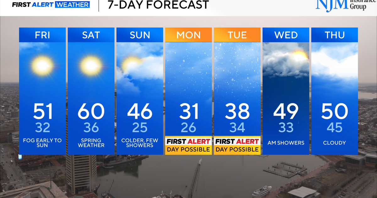
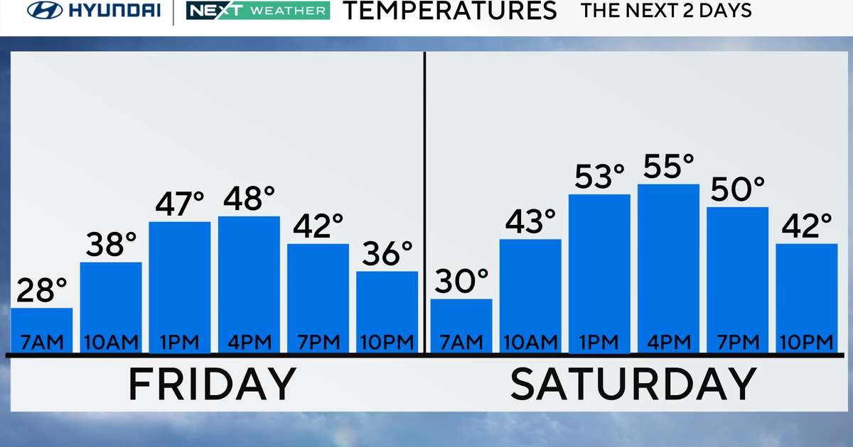
Highs will be in the 40s and 50s across the state Friday. Early on, clearing skies and calm winds will bring areas of patchy fog, especially over areas with snow cover. A few isolated showers north and west of the Twin Cities will move through, and there's a chance that a sprinkle could reach the metro.
Temperatures will rise to the 50s and 60s over the weekend. Widespread rain will move in on Sunday and persist into Monday, possibly totaling up to 2 inches in some locations.
By midweek next week, we'll see highs in the low 50s and calmer conditions as we dry out.
The National Weather Service said Thursday marked the wettest Halloween on record in the Twin Cities. A total of 1.26 inches of rain and melted snow surpassed the previous record of 0.85 inches of liquid that fell during the Halloween blizzard of 1991.
The forecast for Election Day and beyond appears to be quieter and more seasonable with highs near 50.
Drought Update
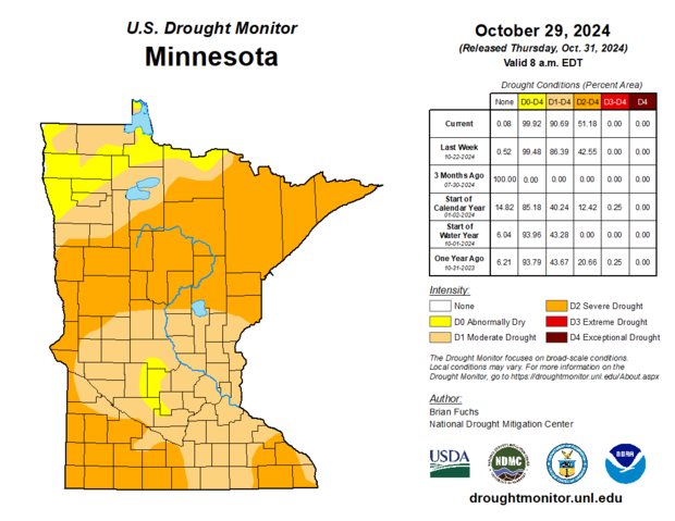
Even though there was a little rain across the state from Oct. 22 to Oct. 29, it wasn't enough to prevent the drought from spreading even more.
Now, more than 90% of the state is in at least a moderate drought with more than half in extreme drought.
Thankfully, the southern half of Minnesota picked up a good soaking on Halloween, breaking a daily precipitation record from Minneapolis–Saint Paul International Airport, but that won't do much good for areas up north where nothing fell.


