MN Weather: Dangerous Cold Follows 2nd Round Of Snow
Stay Informed: WCCO Weather App | Live Radars | School Closings & Delays | More
MINNEAPOLIS (WCCO) -- If you're cleaning up from Tuesday's snowfall, you're going to want to bundle up.
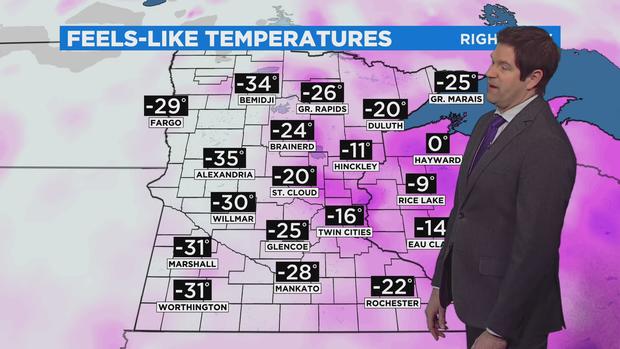
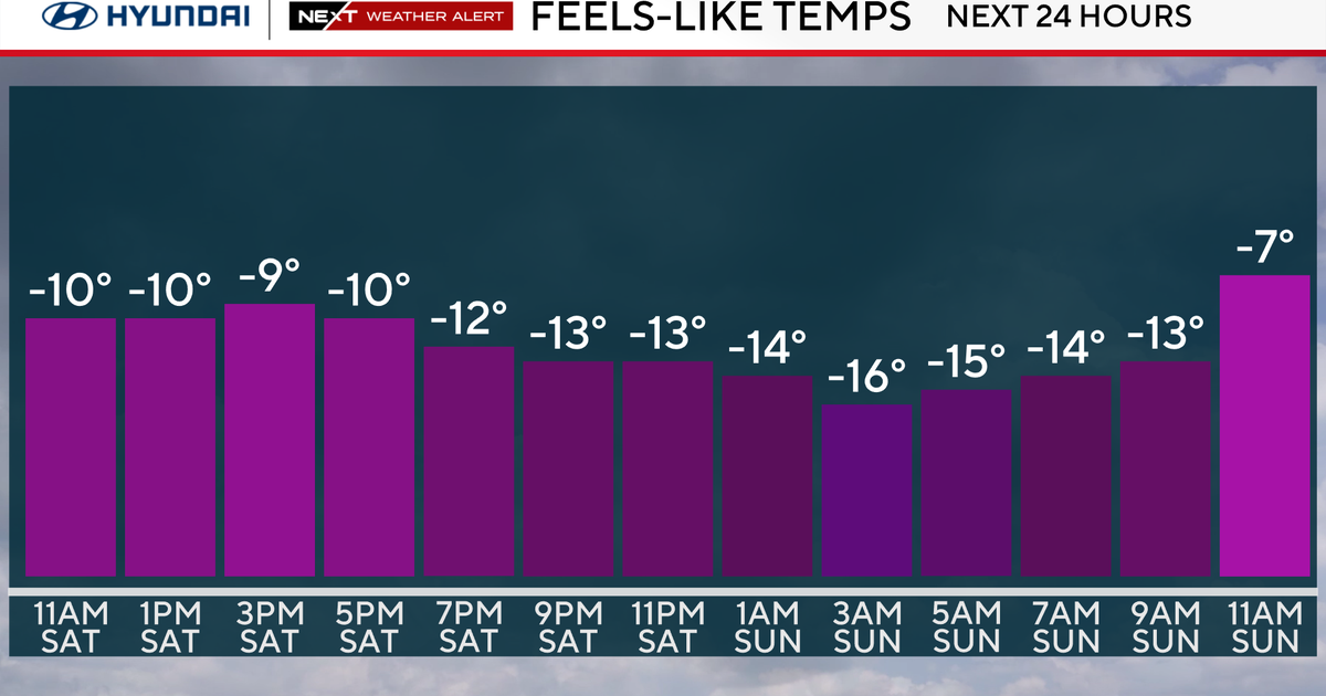
Most of Minnesota will wake up to subzero temperatures on Wednesday, and it's going to remain cold throughout the day. The Twin Cities will see a high of only 9, though winds will be lighter and the skies will be mostly sunny.
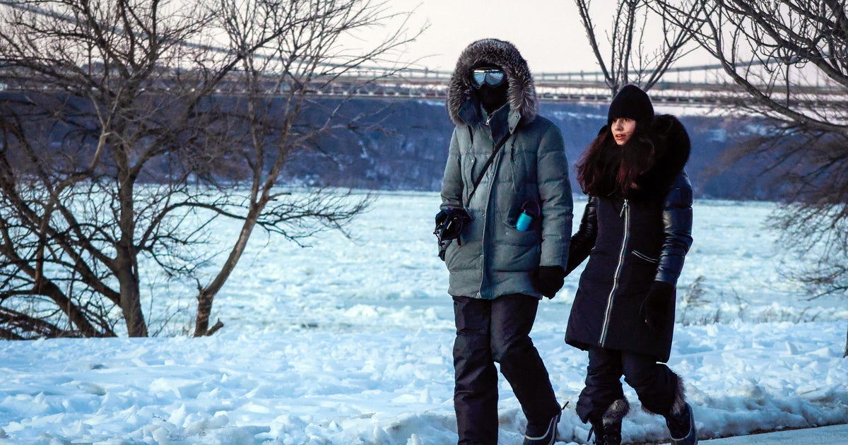
The National Weather Service has issued a wind chill warning for much of western Minnesota, where wind chill factors could be as frigid as minus 50. In such bone-chilling cold, frostbite can set in on exposed skin in as little as five minutes. Additionally, most of central and northern Minnesota are under wind chill advisories. The Twin Cities is not under an advisory.
It'll stay cold Thursday and Friday, with metro highs in the teens. Saturday brings a warm-up to above freezing temperatures, and we'll stay around average as we head into March.
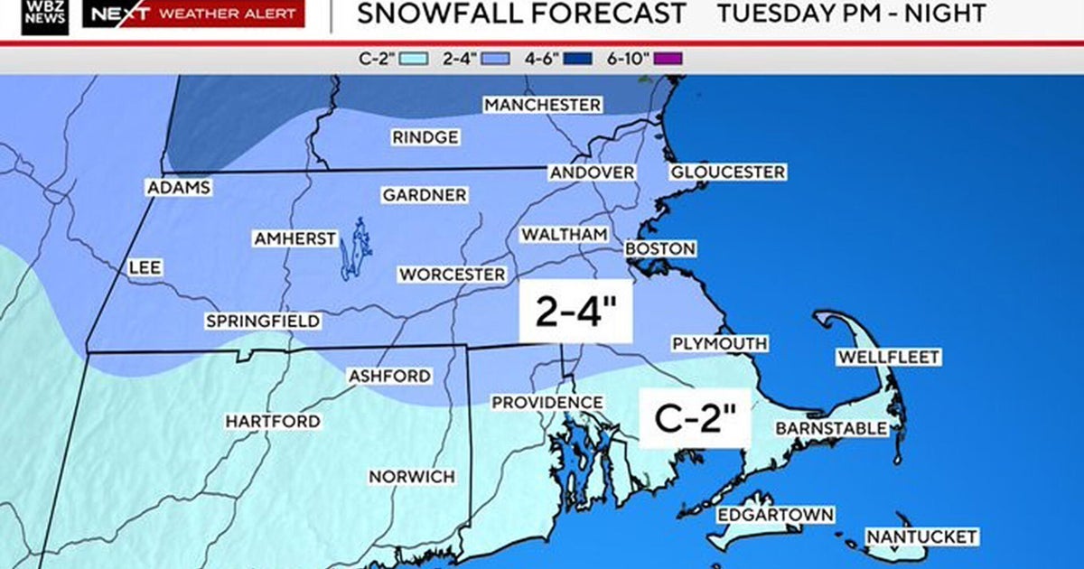
During Tuesday's storm, the Twin Cities accumulated nearly 5 inches of snow. A number of communities in central Minnesota and along the North Shore reported around a foot of snow over the two-day event. These places include Wendell (13 inches), Clarissa (14 inches), Brainerd (9.5 inches), Duluth (17 inches), and Castle Danger (14 inches).
Minneapolis and St. Paul both declared snow emergencies Tuesday afternoon, as did a number of Twin Cities suburbs. Dozens of schools across Minnesota cancelled or delayed in-person classes Tuesday, including large districts in the Twin Cities, such as St. Paul Public Schools.
Road conditions all over the metro were slick Wednesday morning with the lingering aftereffects of the storm. A WCCO crew in the Mobile Weather Lab saw dozens of spinouts on Twin Cities interstates.
The Minnesota State Patrol said that between 9:30 p.m. Tuesday and 11:30 a.m. Wednesday, there were 195 crashes statewide. In 17 of those crashes, someone was injured. There were also 95 spinouts.
The next storm system will hit the southern third of the state starting Thursday morning, with most of the accumulation in the southwest corner of the state. The metro may see an inch or so of snow.
