Minnesota Kisses Arctic Air Goodbye On Valentine's Day
MINNEAPOLIS (WCCO) – Valentine's Day saw a front of arctic air move out of Minnesota, leaving in its wake snow flurries and the start of a warming trend.
As for snow, WCCO-TV meteorologist Mike Augustyniak says that on Sunday the northern and southern parts of the state look to see 1-3 inches. Central Minnesota, including the Twin Cities metro, should only get a dusting.
As for temperatures, they started off Sunday about 20 degrees warmer in some areas than they did on Saturday. Highs on Saturday were in the single digits, and on Sunday they looked to climb into the 20s.
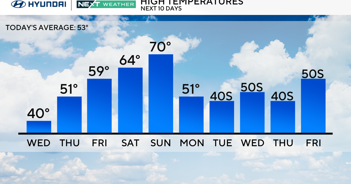
While forecasted temperatures for Sunday are still slightly below average, the week promises a warm up.
Monday and Tuesday are expected to have highs in the low 30s, bringing the possibility of melting.
By Friday, the mercury could hit 40, and there's a possibility of rain showers.
Related: WCCO Weather App
