March Itches To Prove It's The Snowiest Month
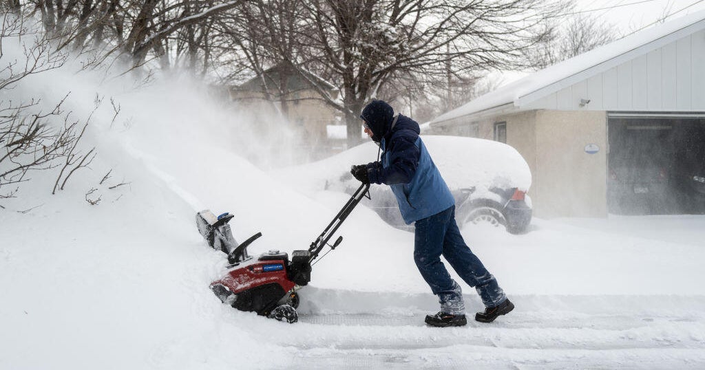
MINNEAPOLIS (WCCO) -- Statistically speaking, March isn't actually the snowiest month in Minnesota on average. But by this point in the season, does anyone feel like splitting hairs?
After one week of relative quiet on the snowfall front, March appears to be rearing up for a lion's roar, though the Twin Cities may miss the full brunt of this winter blast.
As meteorologist Mike Augustyniak reported on Monday afternoon, Minnesota can't seem to catch a warm break without having to pay for it.
"That's because the storm highway goes overhead as we get some milder temperatures in here," Augustyniak said.
The relatively mild temperatures this week will also bring with them the potential for significant snowfall.
The first wave could begin dropping snow over the southeastern portion of Minnesota Tuesday evening into Wednesday morning.
The heaviest snow is predicted to miss the Twin Cities, but there could still be some accumulation in the metro area during that time period.
As the storm continues into Wednesday, though, it could drop more significant totals during the day and into Wednesday evening.
In all, the Twin Cities could see more than a couple inches, but should avoid the 6- to 12-inch totals expected in parts south and east.
As if that wasn't enough, there could be another storm developing at the tail end of the work week. With temperatures approaching 40 on Friday, that storm could be more of a rain-snow mix.
