Mankato, North Mankato Ready For High Water
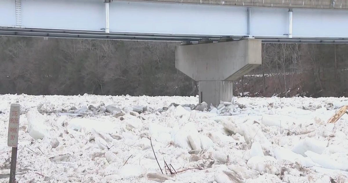
MANKATO, Minn. (AP) -- Officials in the Minnesota River cities of Mankato and North Mankato have a simple plan for dealing with high water this week: they'll patrol their 37-foot floodwalls and close some low-lying roads and parks.
The National Weather Service projects the Minnesota River will rise above 27 feet Friday then begin to fall, though it could rise again. The river reached its flood stage of 22 feet on Tuesday morning.
Mankato and North Mankato have detailed flood plans with various actions triggered by different river levels. North Mankato, for example, begins 24-hour patrols of its floodwalls when the river reaches 22 feet.
But The Free Press of Mankato reports that nothing very dramatic happens until 28.5 feet, when U.S. Highway 169 would be closed where it goes under Highway 14. That hasn't happened since 1993.
The cities also have plans if the levee is breached or over-topped. Mankato has not stockpiled any filled sandbags but it does have clay available that it could use to raise the wall by 2 feet.
Mankato's Land of Memories campground and North Mankato's Judson Bottom Road already have been closed, The Free Press reported. Highway 99 east of St. Peter will be closed when the river reaches 24.5 feet.
The floodwall was designed to hold back a 300-year-flood, or a flood with a 1-in-300 likelihood of happening in a given year. The weather service, however, is not predicting anything close to that.
Even so, Mankato City Manager Pat Hentges said the city is "obligated to look at worst-case scenarios."
Hentges said the levee system was recently inspected by an independent engineer and certified by the Federal Emergency Management Agency. The U.S. Army Corps of Engineers is reviewing the study.
(© Copyright 2011 The Associated Press. All Rights Reserved. This material may not be published, broadcast, rewritten or redistributed.)


