How long-range snowstorm forecasting is like a Plinko board
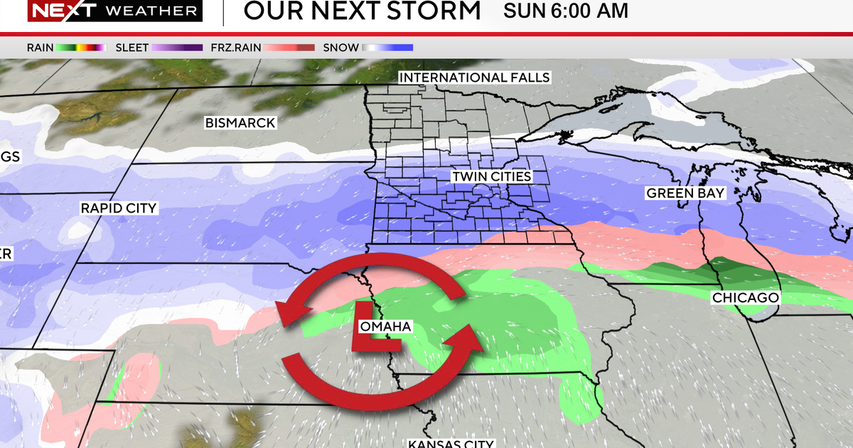
MINNEAPOLIS — A system headed for the Twin Cities next week could bring snow, but it's a tricky forecast this far out.
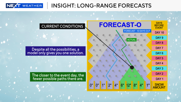
To give you an idea of what long-range forecasting is like, think of it like a Plinko board from the long-running CBS game show "The Price is Right."
The top of the board, where you drop the puck from, represents right now. The bottom of the board marks the arrival of the storm system.
As the puck drops, pegs direct it randomly around the board, until it eventually drops into one of several slots at the bottom, each of which represents a different outcome for the storm.
As we get closer to the storm, meteorologists are dropping the puck closer and closer to the bottom of the board, limiting the number of paths the puck can take and the potential slots into which it can fall.
Computer models show just one possible path on the Plinko machine — WCCO's NEXT Weather team looks at all of the possible solutions to keep you aware of what's coming.
Next week's system will arrive Tuesday and continue into Wednesday, though it's unclear as of yet how much snow — if any — it will bring.
The National Oceanic and Atmospheric Administration's winter outlook forecasts a colder and snowier-than-average season for Minnesota this winter, though it's unclear when the first significant snowfall will arrive.


