How Meteorologists Help Battle Blazes Like The Greenwood Fire
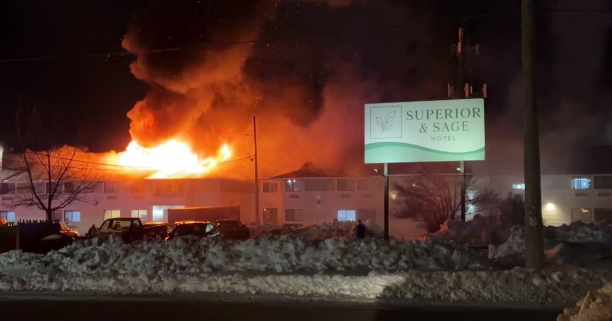
MINNEAPOLIS (WCCO) -- The Greenwood fire has gotten so big the National Weather Service has sent an incident meteorologist who stays on-site for weather support while fighting this fire.
Extreme drought conditions set the stage and lightning lit it up like a match.
"The conditions that have made the Greenwood fire worse are the windy days," said Joe Moore, the warning coordination meteorologist for the NWS Duluth.
Strong winds spread the fire, direction decides where it is going to go and low relative humidity helps to fuel the flames.
"On the day that the Greenwood fire developed, we had relative humidities between 25 and 30%," says Moore.
Meteorologists can't control the weather but they can use the power of prediction to their advantage when containing the fire.
"When we predict conditions on the fire, so wind direction, wind speeds, relative humidity, that helps the people on the ground understand how to best approach fighting the fire," said Moore.
Monday the winds were coming strong out of the west, so firefighters were able to do controlled burns and bulldoze lines on the western side of the fire to help contain the area when winds shift back out of the east.
"Our weather predictions help them make the decision whether to bulldoze use air tactics," said Moore.
Knowing the forecast is very important when fighting a fire from the air because fires this big can actually create their own weather.
"As you get those large quantities of hot air rising up into the air, that creates a vacuum that then needs to be filled, so air rushes in from the side, which creates wind, which fuels the fire even more, which creates more heat, and it just continues to roll through that process until something comes along to stop it," said Travis Verdegan, a predictive services coordinator for the Department of Natural Resources.
On Monday, the Greenwood fire burned so hot it produced pyrocumulus clouds -- thunderstorms created solely from the wildfire. Which is why putting the forecast in a fire behavior analyst's hands is important to connect how the weather is going to impact the fire, especially when moving into fall.
"I'm working through putting out advanced messaging that's just raising awareness of that transition. It's going to be a game changer, I guess you'd say, if it comes with conditions similar to what we have had,' said Verdegan.
They can also use computer models to predict how the fire will react when all the leaves are gone in the fall.
"When you take leaf off, it quadruples or more the output given the same inputs for fire behavior. Makes for a longer burning period, longer periods for the fuels to dry out. Basically just puts everything more in favor of the fire and less in favor of us," said Verdegan.
There is rain in the forecast this week, but it's expected to hit central Minnesota instead of the north.
Officials say it's likely these fires will burn until we get our first big winter snow.
