NWS: Conditions In Place For Possible Spring Flooding
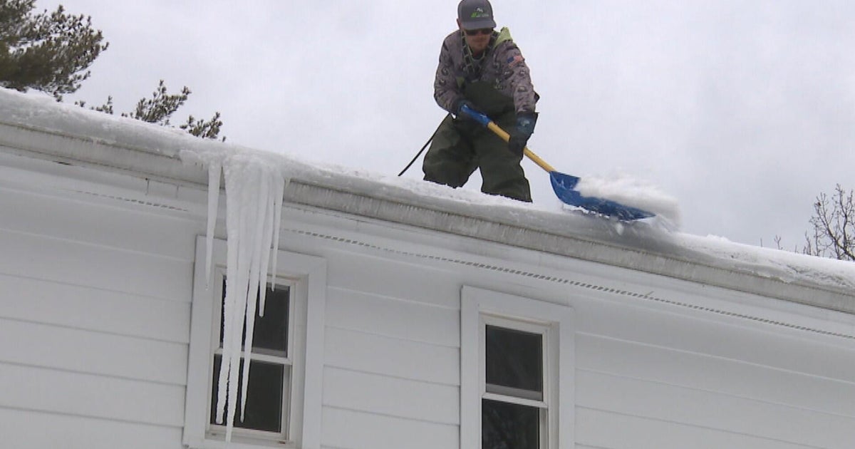
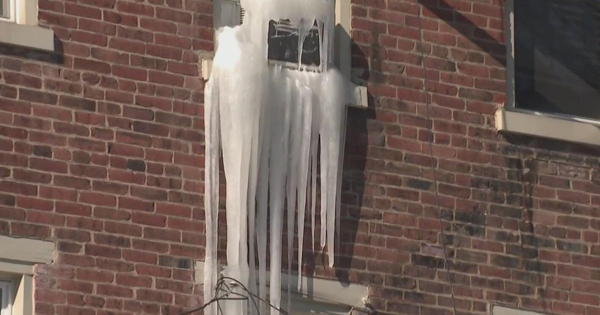
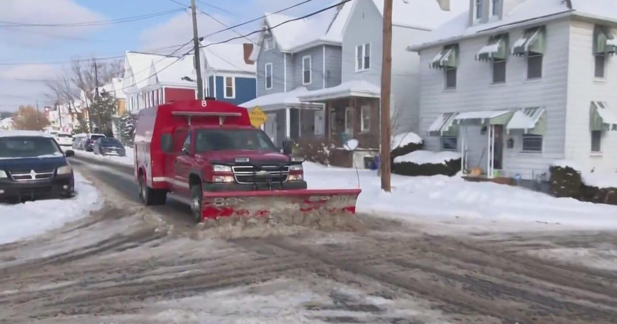
MINNEAPOLIS (WCCO) -- A record-breaking February, and it's not over yet. But the National Weather Service warns it's not necessarily the snow you have to worry about, but what comes after.
There is about 3 to 5 inches of water in snow packs across our river basins, and if a warm-up causes it to melt quickly, river levels will rise quickly.
The NWS said there are three initial factors that lead to flooding:
1. A good snowpack, which we have.
2. Moisture that's already in the ground from a wet fall. We have that, too.
3. And frost depth, which keeps water above ground.
"We've got 2-to-4 feet of frozen soil. It's going to take a long time for that to thaw out," said Craig Schmidt, a senior service hydrologist with the NWS.
Schmidt said we had similar snow covers in 2010 and 2011. A quick warm-up in 2010 led to flooding. But a gradual, steady warm-up in 2011 meant no flooding. That's why March is so pivotal.
"If we go up in the 40s, but drop down below freezing every night, that leads to an orderly melt and that would tend to decrease the flood threat," Schmidt said.
Mac Gordon of Ray Smith Insurance gets his share of flood insurance calls this time of year. He said most policies have a 30-day waiting period, but he believes it's something everyone should look at.
"Twenty percent of these claims that are happening are happening in areas that aren't necessarily flood prone or high-risk flood areas," Gordon said.

