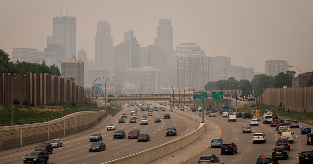
Burn restrictions loom over Minnesota as drought continues to ravage state

MINNEAPOLIS — It has been incredibly difficult to come across any precipitation across most of Minnesota the last several weeks and months.
Nearly the entire state has picked up less than half of the average precipitation over the last 30 days. In some parts of central and western Minnesota, we've only seen about 10% of average, allowing the drought to continue to expand.
After erasing it over the summer, severe drought is back across the Arrowhead and in southwestern Minnesota.
The new drought monitor map is released on Thursdays, and it's likely to show that the severe drought has spread to more of Minnesota.
Since Sept. 19 at MSP, when .03" of rain fell, we haven't had any measurable rainfall. Going back to Sept. 1, MSP only has picked up .06" of rain, making it the driest first half of fall on record.
The state has the opportunity for a little bit of rain late Friday into Saturday, but it's unclear if it'll be enough to end our 26-day dry streak.
Combined with the dry weather, the next couple of days will be windy too, which means an elevated fire threat. Red flag warnings are in effect until 7 p.m. Wednesday across western Minnesota, but more are anticipated Thursday.
For more information about burn restrictions in your area, click here.