Another Winter Wallop For Parts Of Minnesota
MINNEAPOLIS (WCCO/AP) -- A late-season snowstorm that blanketed parts of the Dakotas on Monday was threatening to do the same to cities from Minneapolis to Chicago, which were bracing for as much as 10 inches of powder.
The National Weather Service has issued a winter storm warning for much of the region. Forecasters expect the storm to dump a foot of snow or more in parts of Minnesota by the time it exits the state Tuesday.
The first installment brought mostly a dusting to the Twin Cities, but more snow should move into the area during a second wave.
A second wave of snow is expected to fall Monday evening, continuing overnight and into Tuesday morning. Forecasts say this second wave will affect areas from Interstate 94 and Interstate 35 on eastward, generally. The only area of the state that probably won't see any significant snow during the second wave is likely to be southwestern Minnesota.
The snow should finally trail off by Tuesday afternoon, but not before leaving a significant amount of snow in its wake.
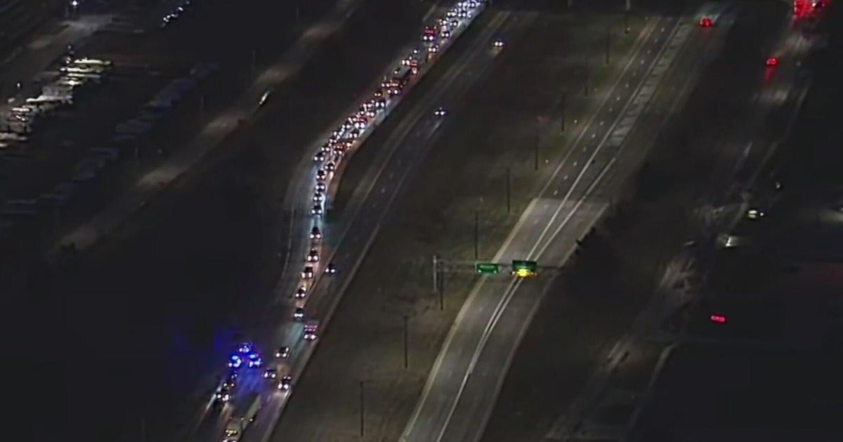
Morning commuters in the Twin Cities area got a foretaste of the storm as they were greeted with up to an inch of snow. While rush-hour traffic slowed on many major metro highways, few accidents were reported. The relative lack of problems prompted Lt. Eric Roseke, spokesman for the Minnesota State Patrol, to drop his plan to tweet accident totals, as he customarily does in major snowstorms.
Minneapolis Mayor R.T. Rybak said that a snow emergency will not be announced in the city Monday, and thus normal parking rules apply. However, he encouraged residents to check again on Tuesday. (Snow emergency information can be checked on the city's website.)
On the other hand, snow emergencies have been declared for the cities of West St. Paul, Mendota Heights, Crystal, and Red Wing.
When all is said and done, most of the Twin Cities should see at least 6 inches of snow and possibly up to 10 inches, but parts of the metro area, especially the northwestern portion, could see closer to 10 or 12 inches.
Snowfall totals across most of eastern North Dakota and northwest Minnesota are expected to be eight to 12 inches, with more in some locations. That area includes Grand Forks, Crookston and Devils Lake. Forecasters say the storm is tracking from northwest Minnesota to the southeast corner of the state.
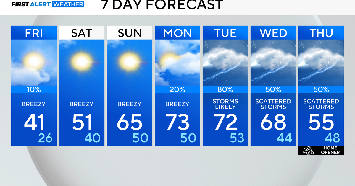
High temperatures over the next few days will hover around the freezing mark, but toward Thursday and Friday, they're expected to inch north toward 40 degrees.
At Minneapolis-St. Paul International Airport, the snow doesn't appear to have caused any major delays yet, but it has caused cancellations for some arrivals and departures. Airport officials say 35 departure flights and about 45 arrival flights have been canceled.
6 P.M. Weather Report
(TM and © Copyright 2013 CBS Radio Inc. and its relevant subsidiaries. CBS RADIO and EYE Logo TM and Copyright 2013 CBS Broadcasting Inc. Used under license. All Rights Reserved.This material may not be published, broadcast, rewritten, or redistributed. The Associated Press contributed to this report.)
