A Dose Of Fall: Heavy Rain & Below-Average Temps Arrive In MN
MINNEAPOLIS (WCCO) -- After two of the hottest days of the year in the Twin Cities this past weekend, Tuesday and Wednesday will feel a whole lot like fall.
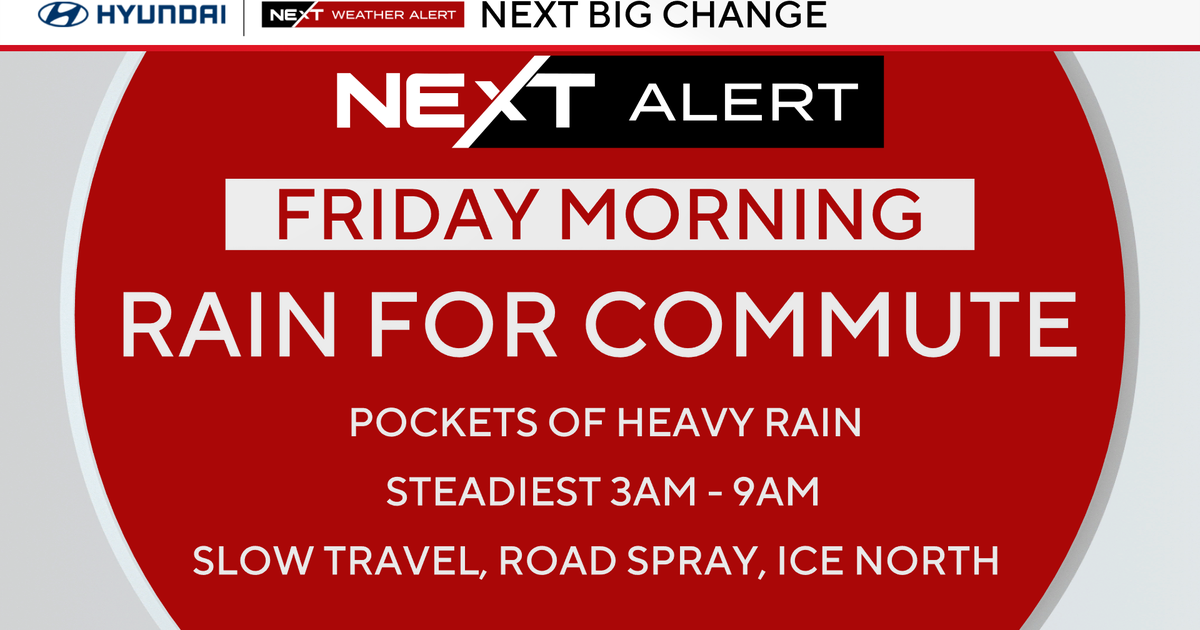
The culprit: heavy rain that moved into the metro Tuesday morning, dropping three-quarters of an inch by early Tuesday evening.
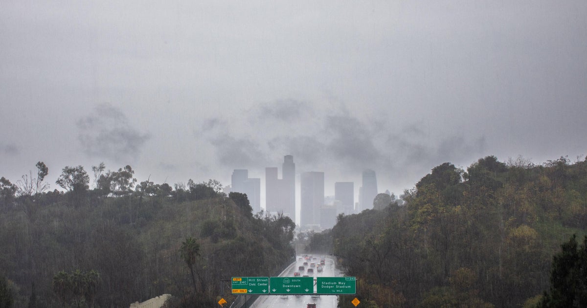
The soggy weather meant lethargic traffic in the Twin Cities.
Most of the heavy rain has already fallen, though more is coming Wednesday, along with strong winds.
One- to three-inch readings will be common across much of Minnesota and western Wisconsin.
Flooding is the primary concern with so much rain in such a short period of time, but there is also a marginal risk of severe storms Tuesday night across southeastern Minnesota.
The cloud cover and persistent rains will hold high temperatures in the mid- to upper-60s through Wednesday. That's 10 to 15 degrees below average, and more typical of October than mid-August.
Summer isn't gone forever, however. Highs in the 80s should return by Friday.
