Wet Wednesday Soaks South Florida's Streets
Follow CBSMIAMI.COM: Facebook | Twitter
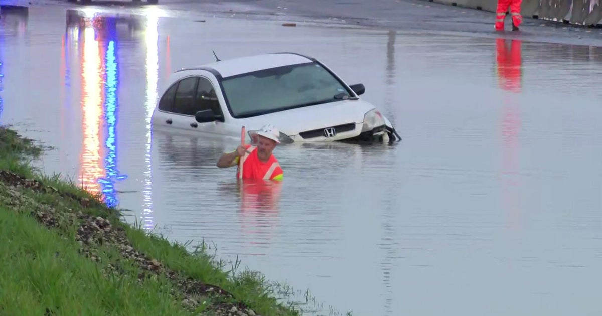
MIAMI (CBSMiami) – The rain and storms around South Florida, from homes struck by lightning to flooded fields and heavy traffic, left its mark in many places by early Wednesday morning.
Fire crews responded to two homes in Broward County at around 5:30 AM after lightening struck and sparked fires. Nobody was injured.
One family's roof in Miami Gardens collapsed from the heavy rain. They had to put tarps up on the roof to stop the rain from entering inside the home.
In Homestead, the rain flooded fields and damaged some crops at Sam S Accursio Farms & Well. They measured more than 5 inches of rain overnight.
Click here to WATCH CBS4 Gaby Fleischman's report
Strong thunderstorms and heavy rain from the early morning may have weakened, but South Florida is still left with a system that will take a few more hours to rain itself out.
CBS4 Meteorologist John Gerard said there still might be some local flooding on roads—so be careful driving in the afternoon and, of course, keep the umbrella handy.
The heaviest rain for the remainder of Wednesday will be south of Downtown Miami and in the Keys--with heavier rainfall in the Keys.
Drier, cooler air is not that far away however, and South Florida will start to see some of it arriving Thursday with a much nicer weather pattern by Friday and into much of the weekend.
Moisture could begin rolling back in from the south by later Sunday or Monday.
Temperatures will only be around 80 this afternoon and top out in the lower to mid-80s Thursday through Sunday so our weather, Gerard says, will be much more pleasant soon.
Have you downloaded the CBSMiami Weather App? It's a superb tool, South Florida--especially in the upcoming summer months. Click here for more information.
