Wet Start To The Work Week, Then Cooler
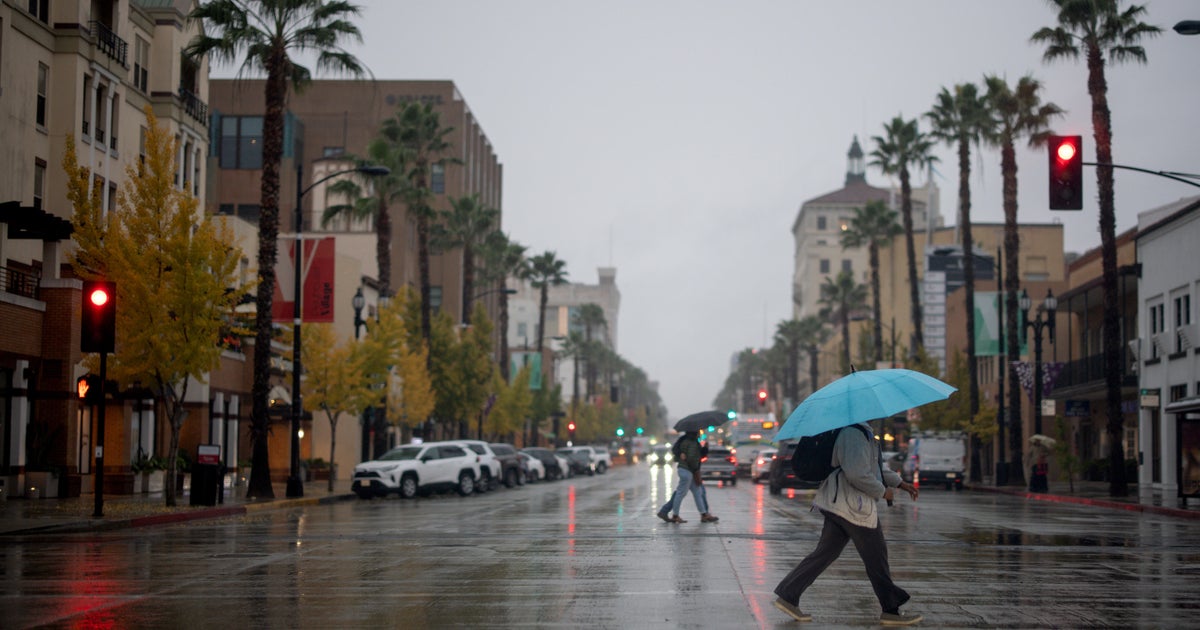
MIAMI (CBSMiami) – It's been a wet start to the work week as waves of rain continue to move across South Florida.
The cause of all the rain is a weak area of low pressure over the Southeast Gulf of Mexico. The Hurricane Center has been monitoring this area for possible tropical development. However, the latest data indicates that development is unlikely.
However for South Florida, a deep moisture feed will remain over our area for another 24 hours. This means the threat for more rounds of heavy rain with flooding in spots will stick around through Tuesday.
There will also be rough seas and there's a high risk of rip currents at the beaches.
Beach goers are advised to stay out of the water.
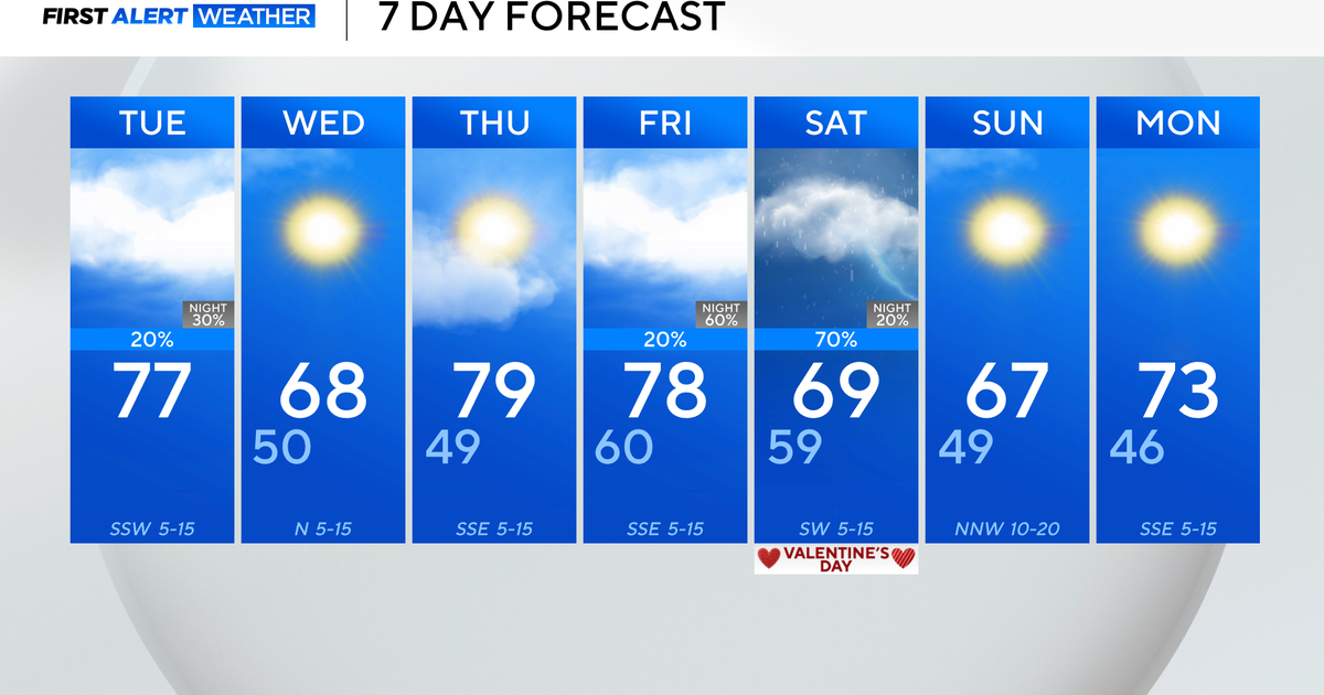
On Wednesday a big change arrives. The strongest cold front of the season will bring an end to the rain and usher in much cooler weather.
In fact, high temperatures may stay in the 70s on Thursday and Friday with sunshine and low humidity. Even some 50s are possible Friday morning.


